12 Best Drone Mapping Services & Software for 2025
- James Baptiste

- Jul 23, 2025
- 15 min read
Transforming raw aerial data into actionable intelligence requires powerful software. Choosing the right platform is critical, as it directly impacts the accuracy, efficiency, and usability of your final 2D maps and 3D models. The market for drone mapping services and software is crowded, with solutions tailored for specific industries, drone models, and technical skill levels. This resource guide cuts through the noise to help you find the best fit for your projects, whether you're in construction, agriculture, surveying, or public safety.
This comprehensive listicle moves beyond marketing claims, offering a practical comparison of the leading drone mapping platforms. We will analyze each option-from industry giants like DroneDeploy and Pix4D to open-source alternatives like OpenDroneMap. For each service, you'll find a detailed breakdown of its core features, ideal use cases, pricing structures, and a candid assessment of its pros and cons. We also provide screenshots and direct links to help you evaluate each platform efficiently.
In the real estate sector, for example, these services are revolutionizing property showcases, creating immersive experiences similar to those detailed in a comprehensive guide to virtual tours for realtors. By the end of this article, you will have a clear understanding of which tool offers the specific functionality, workflow integration, and support you need to turn your drone imagery into precise, data-rich assets.
1. DroneDeploy
DroneDeploy stands as a market leader among drone mapping services, offering an all-in-one cloud-based software solution. It excels in simplifying the entire workflow, from automated flight planning and data capture to processing and analysis. This makes it an incredibly accessible entry point for professionals new to aerial surveying, while still providing the robust tools required by seasoned experts in construction, agriculture, and energy sectors.
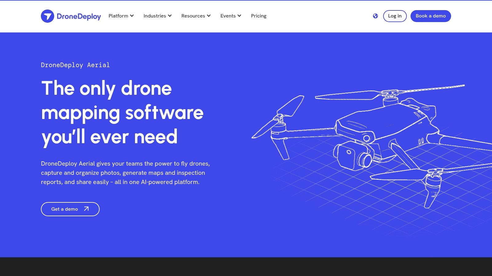
What truly sets DroneDeploy apart is its emphasis on user experience and speed. The interface is intuitive, guiding users through mission setup with minimal friction. Its cloud processing engine is remarkably fast, turning raw aerial data into high-resolution orthomosaics, 3D models, and insightful reports in a fraction of the time required by many desktop-based alternatives. To get the best results, you'll need to understand the fundamentals of aerial surveying; you can learn more about perfecting your data capture with these drone 3D mapping tips.
Key Features & Considerations
Best For: Teams in construction, agriculture, and mining needing a fast, collaborative mapping platform.
Pricing: Subscription-based, with tiers starting from a free individual plan to advanced enterprise solutions. The cost can be a significant factor for infrequent users.
User Experience: Its highly-rated, user-friendly interface is a major advantage, reducing the learning curve for new pilots.
Pros: - Excellent automation and flight planning. - Fast cloud-based processing. - Strong collaborative features and third-party integrations.
Cons: - Subscription model can be expensive. - Heavy reliance on a stable internet connection for most features.
2. Pix4D
Pix4D is a cornerstone in the professional photogrammetry landscape, renowned for its precision and comprehensive toolset. Unlike purely cloud-based platforms, Pix4D provides a powerful suite of both desktop and cloud drone mapping services, giving users complete control over their data processing. This dual approach makes it a top choice for surveying, engineering, and public safety professionals who require survey-grade accuracy and the ability to manage complex projects offline.
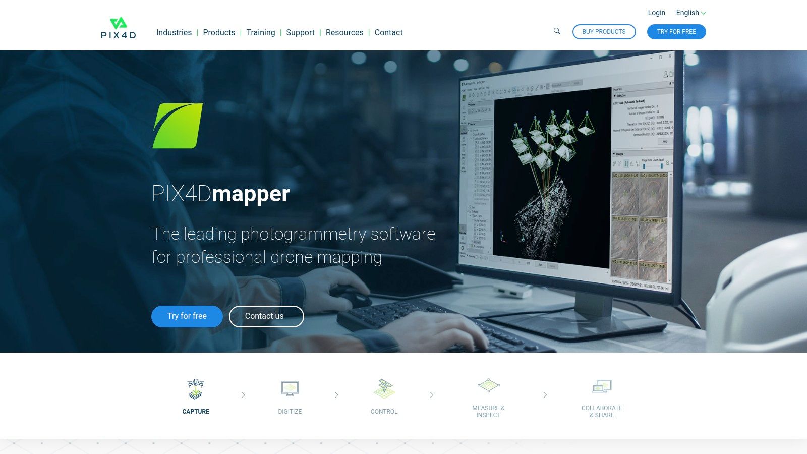
What truly distinguishes Pix4D is its scientific rigor and customization. The platform offers specialized software modules like PIX4Dfields for agriculture and PIX4Dsurvey for vectorization, allowing users to tailor their workflow to specific industry needs. While the interface is more technical and presents a steeper learning curve than some alternatives, this complexity unlocks a deeper level of control over processing options, quality reports, and output formats. This makes it ideal for users who need to validate and prove the accuracy of their 2D maps and 3D models.
Key Features & Considerations
Best For: Surveyors, engineers, and GIS professionals requiring high-accuracy outputs and processing flexibility.
Pricing: Offers both perpetual licenses and subscription models. The premium cost reflects its advanced capabilities, which can be a barrier for hobbyists or small businesses.
User Experience: The interface is powerful but complex, catering to technical users. It requires a significant time investment to master compared to more automated platforms.
Pros: - Produces highly accurate, survey-grade results. - Flexible desktop and cloud processing options. - Comprehensive toolset with industry-specific modules.
Cons: - Steeper learning curve for beginners. - Premium pricing can be a significant investment.
3. 3Dsurvey
3Dsurvey is a professional-grade software solution focusing heavily on land surveying and photogrammetry. While many platforms are cloud-based, 3Dsurvey is a desktop application that gives users complete control over their data processing workflow. It's particularly well-suited for surveyors and engineers who require high-precision outputs and detailed control over every step, from point cloud generation to creating final CAD-ready deliverables.
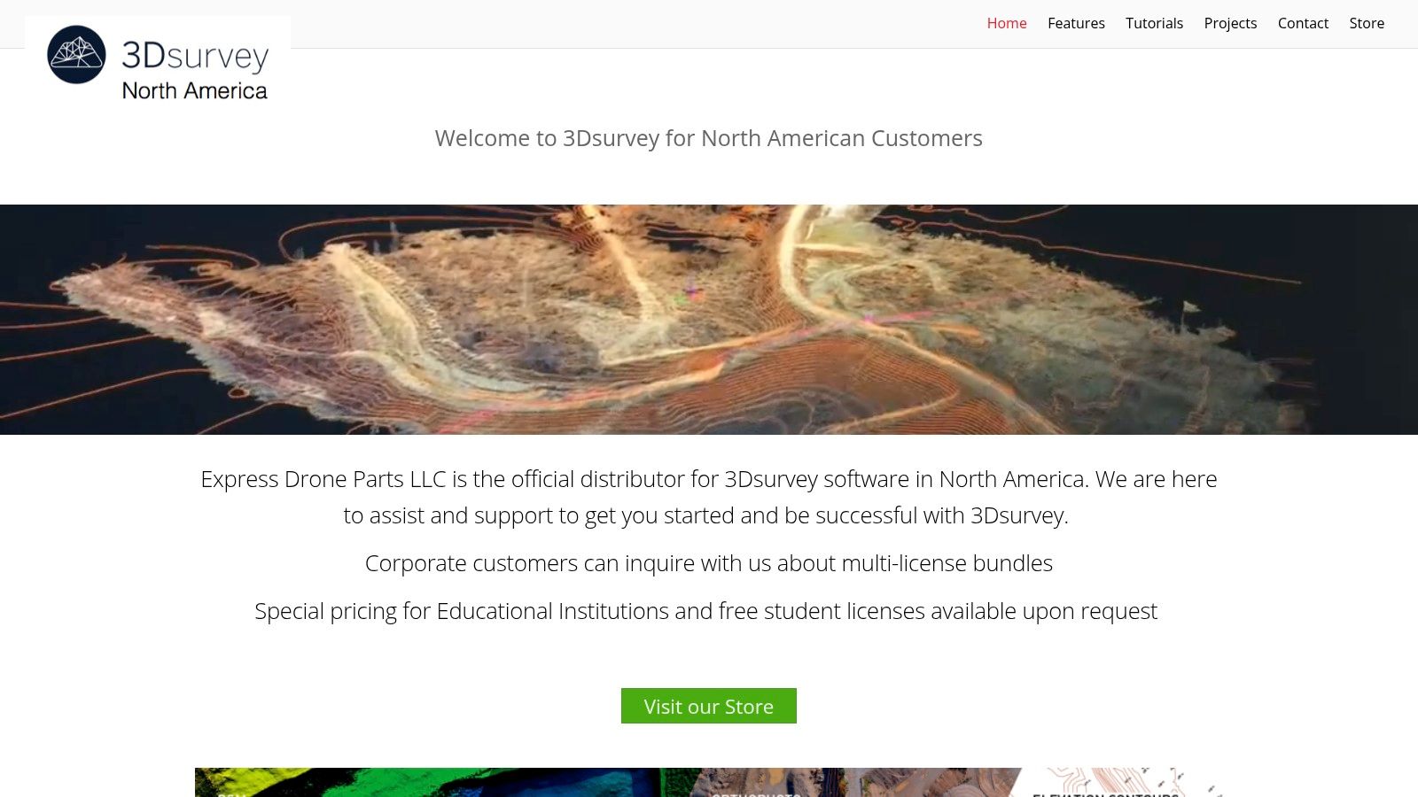
What makes 3Dsurvey stand out is its specialized support for the North American market and its commitment to education. The software offers a robust set of tools that transform aerial imagery into precise 3D models and orthophotos, making it a powerful choice among drone mapping services. To get the most from its comprehensive features, it's beneficial to understand core principles; you can master drone surveying and mapping with these essential tips.
Key Features & Considerations
Best For: Land surveyors, engineers, and educational institutions needing precise, desktop-based photogrammetry tools.
Pricing: Requires a direct inquiry for detailed pricing, but offers special rates and free licenses for educational and student use.
User Experience: The interface is user-friendly for a professional tool, but its depth requires a learning curve for newcomers.
Pros: - Strong focus on high-precision surveying outputs. - Excellent support for educational institutions. - Full offline processing capability.
Cons: - Pricing is not transparent and requires contact. - Less collaborative than cloud-based platforms.
Website: https://3dsurvey.us/
4. MapNova
MapNova enters the market with a focus on simplicity and accessible pricing, positioning itself as one of the most user-friendly drone mapping services available. The platform is designed to lower the barrier to entry for individuals and small businesses, offering a streamlined workflow for creating essential mapping products like orthomosaics and panoramas. Its interface is clean and direct, catering to users who may not have deep technical backgrounds in photogrammetry.

What makes MapNova a compelling choice is its predictable pricing and inclusion of specialized tools like hotspot detection and color anomaly identification, even at lower price points. These features are particularly useful for inspections in solar, agriculture, and roofing. While it may lack the enterprise-level depth of some competitors, its straightforward approach ensures users can go from data upload to actionable insights with minimal hassle, making it a strong contender for those prioritizing ease of use and affordability.
Key Features & Considerations
Best For: Freelance drone pilots, small businesses, and users in inspection fields needing simple, affordable mapping tools.
Pricing: A free plan is available for basic use, with affordable subscription tiers for more advanced features and storage. Note that some niche features may incur extra fees.
User Experience: The platform is highly regarded for its intuitive and user-friendly interface, making it easy for beginners to get started.
Pros: - Generous free plan for testing and small projects. - Affordable and transparent pricing structure. - Clean, easy-to-navigate user interface.
Cons: - Storage is limited on the free and lower-cost plans. - Some advanced analytics require additional payments.
Website: https://www.mapnova.com/pricing
5. Microdrones
Microdrones distinguishes itself in the drone mapping services market by offering fully integrated systems that combine hardware, software, and support. Instead of a software-only approach, they provide complete, survey-grade solutions, including the drone, specialized payloads like LiDAR, and the corresponding data processing software. This makes them a go-to provider for professionals in surveying, construction, and mining who require a reliable, end-to-end workflow from a single vendor.
The key advantage of the Microdrones ecosystem is its synergy. Hardware and software are designed to work together seamlessly, which simplifies high-accuracy data collection and minimizes compatibility issues. Their business model is also notable, offering flexible options like subscription-based access to their entire drone-as-a-service (DaaS) solution. This includes hardware, software, maintenance, and support, lowering the barrier to entry for accessing professional-grade equipment.
Key Features & Considerations
Best For: Surveying and engineering firms that need a complete, high-accuracy hardware and software package with dedicated support.
Pricing: Varies significantly based on the chosen package (hardware, software, DaaS). A direct inquiry is necessary for specific pricing details.
User Experience: Geared towards professionals, with a focus on reliability and accuracy over simplicity. Comprehensive training and support are key parts of the user experience.
Pros: - All-in-one, integrated hardware and software solutions. - Flexible business models, including subscription and maintenance options. - Excellent for high-accuracy LiDAR and photogrammetry applications.
Cons: - Higher initial investment compared to software-only platforms. - Pricing is not transparent and requires a direct sales consultation.
6. GeoCue
GeoCue distinguishes itself among drone mapping services by offering a complete end-to-end ecosystem rather than just a single software product. It provides a holistic solution that includes high-end LiDAR and photogrammetry hardware (TrueView), powerful processing software (LP360), and extensive training and consulting. This approach is ideal for organizations that need a fully integrated and supported workflow from start to finish, particularly in industries like surveying, engineering, and environmental management where precision is paramount.
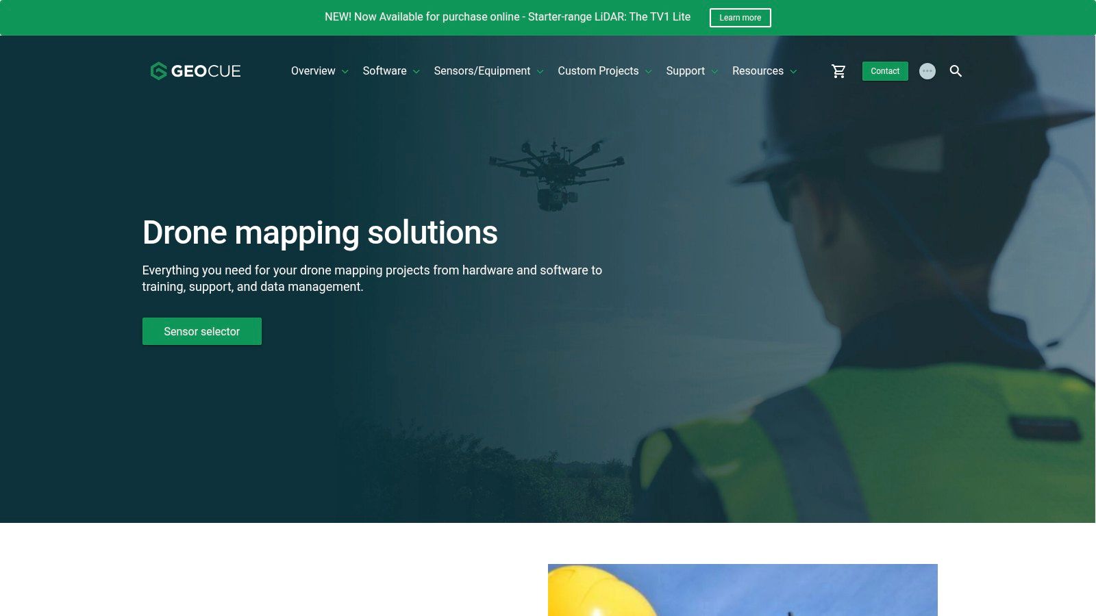
What makes GeoCue unique is its combination of hardware and software designed to work seamlessly together, backed by expert guidance. Their LP360 software is renowned for its robust LiDAR and point cloud processing capabilities, allowing users to extract detailed analytics and deliverables. This integrated system approach removes the guesswork and compatibility issues that can arise from mixing hardware and software from different vendors, ensuring a streamlined and reliable data pipeline from acquisition to final product.
Key Features & Considerations
Best For: Surveying and engineering firms requiring a comprehensive hardware, software, and support package for high-accuracy LiDAR and photogrammetry projects.
Pricing: Custom-quoted based on the specific package of hardware, software, and services. Pricing is not publicly listed and represents a significant capital investment.
User Experience: The platform is geared towards professionals with surveying or GIS knowledge; however, their extensive training and support services help new users get up to speed.
Pros: - Fully integrated hardware and software ecosystem. - Powerful LP360 software for advanced point cloud analysis. - Comprehensive training, consulting, and support services.
Cons: - Significant upfront investment is required. - Not suitable for casual users or small-scale mapping tasks.
7. Drone Mapping Tools
Drone Mapping Tools operates differently from other platforms on this list. Instead of a single software solution, it functions as a specialized online retailer, a one-stop shop for purchasing various industry-leading photogrammetry software. This makes it a valuable resource for professionals who want to compare and acquire different drone mapping services and tools, rather than committing to a single ecosystem. It offers both perpetual and subscription-based licenses, providing flexibility for diverse project needs and budgets.
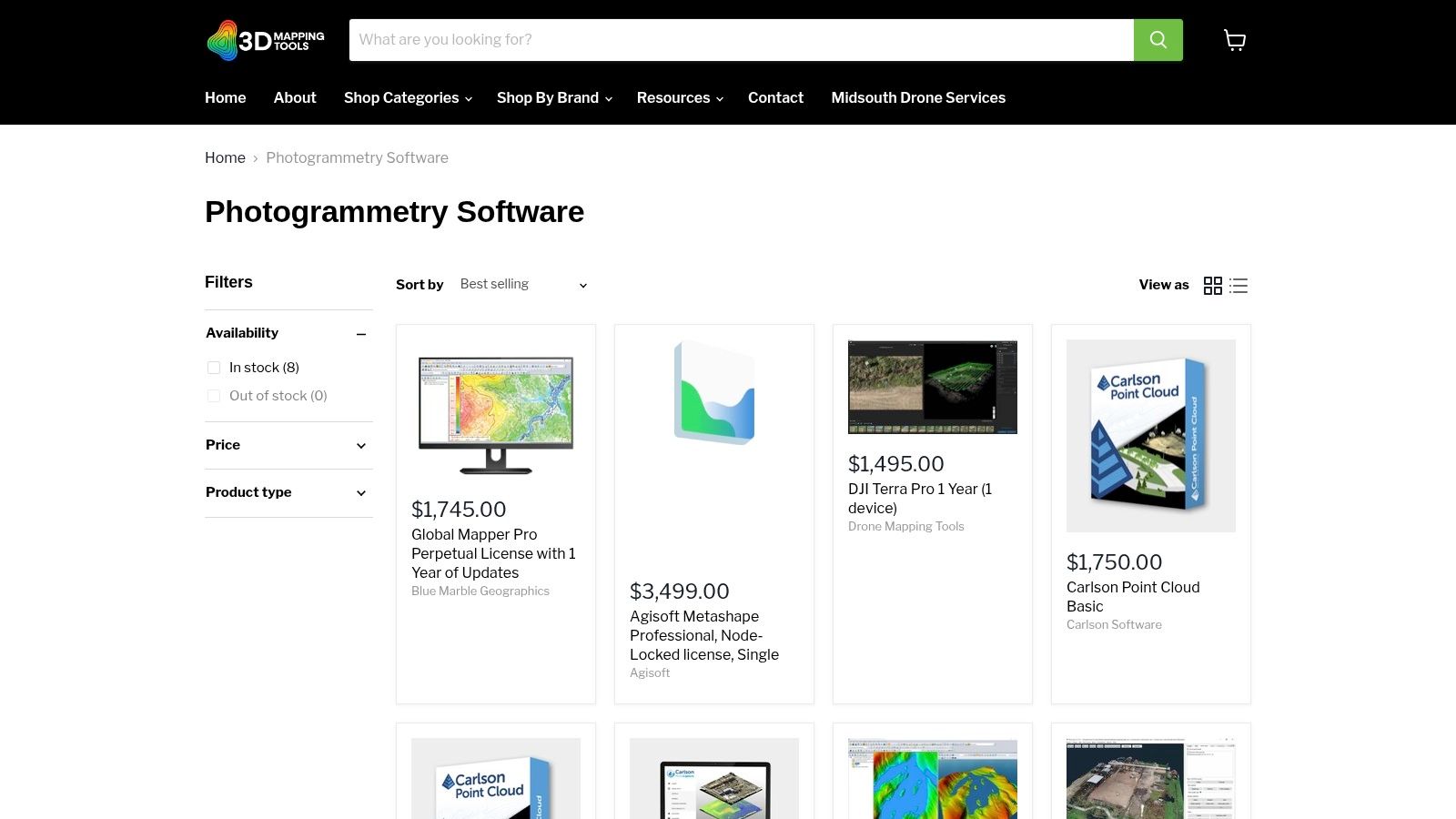
What makes this platform unique is its curated focus on mapping and surveying software. Users can easily browse and purchase top-tier products like Pix4D, Agisoft Metashape, and others in one place. The site provides detailed product descriptions and system requirements, helping pilots and surveyors make informed decisions without navigating multiple vendor websites. This is especially useful for assembling a custom toolkit tailored to specific drone models and project deliverables, whether for land surveying, construction monitoring, or precision agriculture.
Key Features & Considerations
Best For: Professionals and businesses looking to purchase specific software licenses without being tied to a single platform.
Pricing: Varies by product. The platform offers competitive pricing on both perpetual licenses and subscriptions for various software.
User Experience: Simple and direct e-commerce interface, making it easy to find and purchase software.
Pros: - One-stop shop for multiple leading photogrammetry software brands. - Offers both perpetual and subscription license options. - User-friendly website with clear product information.
Cons: - Solely a software retailer; no hardware or integrated cloud services. - Support is handled by the individual software manufacturer, not the retailer.
8. SmartDrone
SmartDrone positions itself uniquely in the market by offering on-demand nationwide drone mapping services, essentially functioning as your outsourced aerial data collection team. Instead of selling software, they provide a full-service solution, handling everything from pilot deployment and data capture to processing and final delivery. This model is ideal for companies that need high-quality survey data but lack the in-house equipment, expertise, or time to manage drone operations themselves.
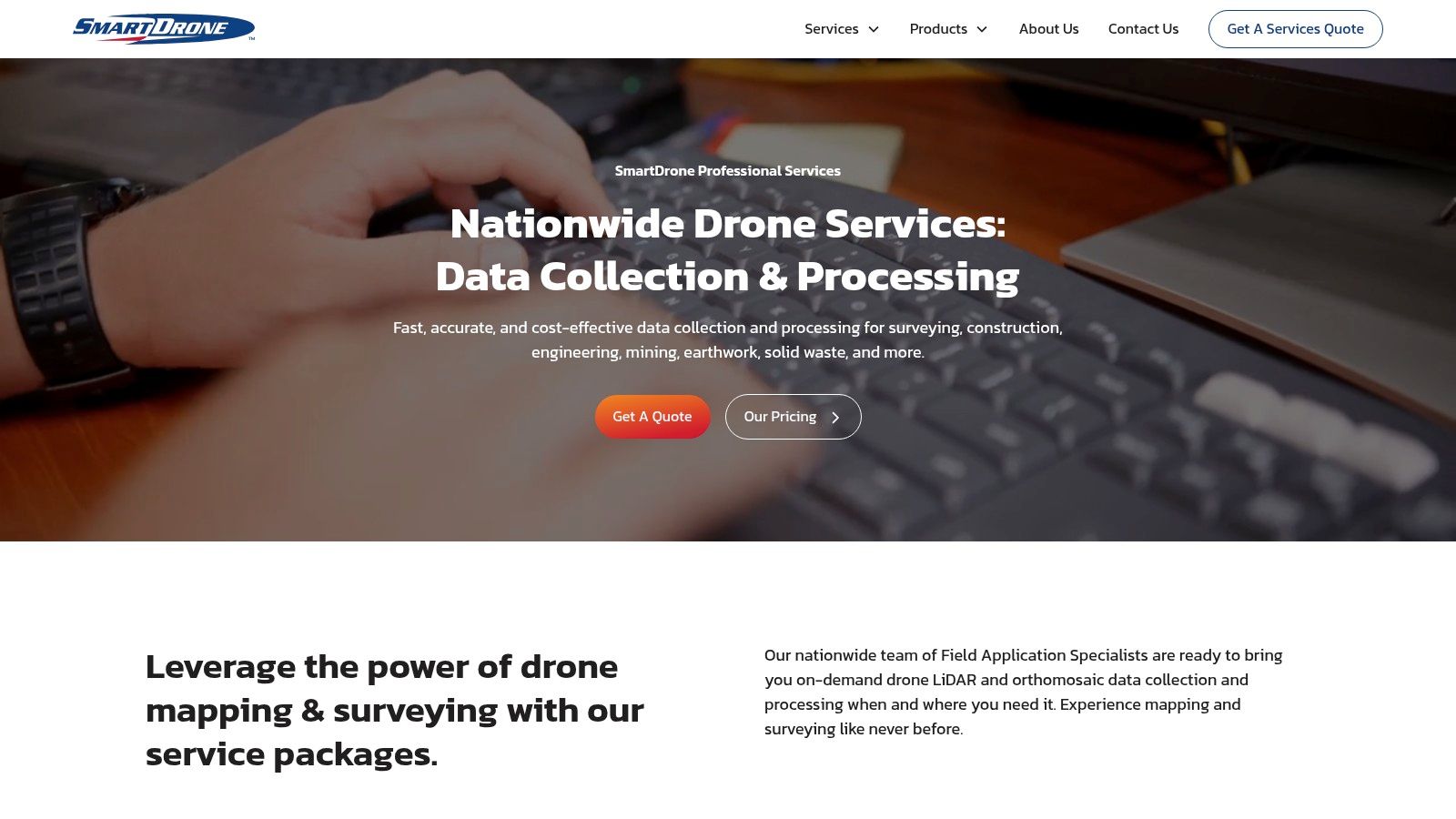
What makes SmartDrone a compelling choice is its specialization in both LiDAR and photogrammetry, delivering comprehensive volumetric, cut-and-fill analysis, and detailed topographic maps with impressive speed. Their nationwide network allows for rapid response, providing a streamlined way to obtain project data without significant capital investment. For those considering this technology, you can get a deeper understanding with this guide to drone LiDAR mapping. This service-based approach removes the technical barriers for land developers, surveyors, and civil engineers.
Key Features & Considerations
Best For: Engineering, surveying, and construction firms needing professional-grade data without investing in an in-house drone program.
Pricing: Project-based pricing. Costs are higher per project than a software subscription but eliminate hardware, training, and maintenance expenses.
User Experience: As a service provider, the experience is focused on client communication and deliverable quality rather than a user interface.
Pros: - No need to purchase or maintain expensive drone and LiDAR equipment. - Quick response times and nationwide professional service coverage. - High-quality, detailed deliverables suitable for complex projects.
Cons: - Can be more expensive than in-house operations for high-frequency mapping needs. - Dependent on the service provider's schedule and availability.
9. Maverick Drone Systems
Maverick Drone Systems operates differently from standalone software platforms by acting as a specialized reseller of drone mapping services and software. Instead of developing their own proprietary solution, they provide a curated marketplace featuring industry-leading applications like Pix4D, Propeller, and Agisoft Metashape. This approach makes them a valuable one-stop-shop for professionals who want to compare and purchase the best tool for a specific job, rather than being locked into a single ecosystem.
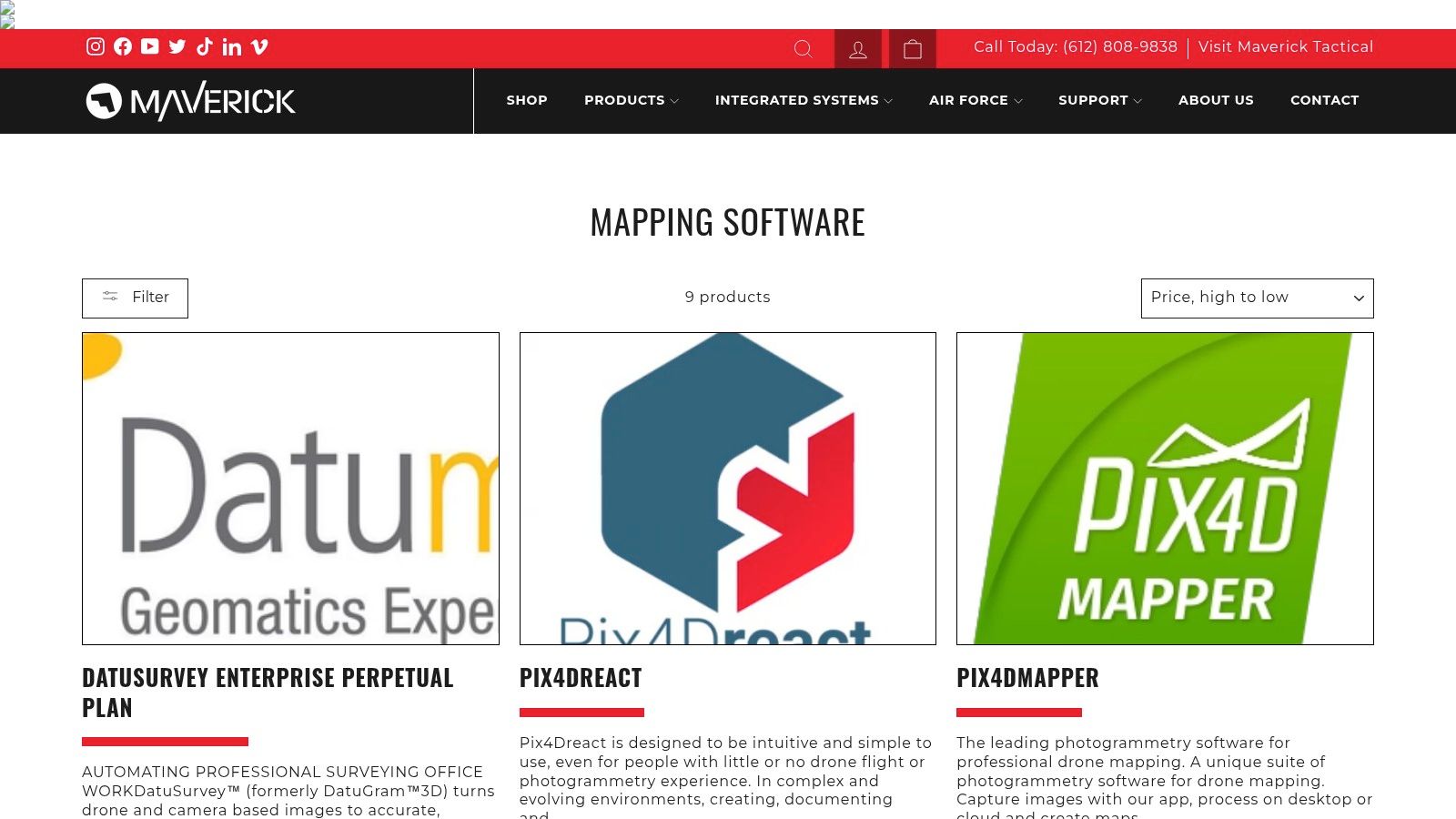
What makes Maverick stand out is its focus on providing flexible licensing options. Users can find both perpetual licenses for long-term ownership and subscription-based models, catering to different budgetary and operational needs. This is particularly useful for organizations that prefer a capital expenditure over a recurring operational cost. Their platform is straightforward, allowing users to easily browse software, compare features, and make an informed purchase based on their specific drone hardware and project requirements.
Key Features & Considerations
Best For: Professionals and organizations wanting to purchase specific, industry-standard software licenses without being tied to a single platform.
Pricing: Varies by product, offering both perpetual licenses and subscriptions from different developers. Competitive pricing is a key benefit.
User Experience: The website is a standard e-commerce store, making it easy to navigate, compare, and purchase software.
Pros: - Wide selection of top-tier mapping software in one place. - Offers both perpetual and subscription license options. - Clear, upfront pricing for various software packages.
Cons: - Acts as a reseller, so software support is handled by the original developer. - Does not offer its own integrated flight-to-processing solution.
10. Agisoft Metashape
Agisoft Metashape is a heavyweight champion among professional drone mapping services, positioned as a powerful desktop-based photogrammetry software. It is engineered for experts who require maximum control and precision, converting raw digital imagery into highly accurate 3D spatial data. The software is a top choice for complex applications in geographic information systems (GIS), cultural heritage documentation, and even visual effects production, where detail and geometric accuracy are paramount.
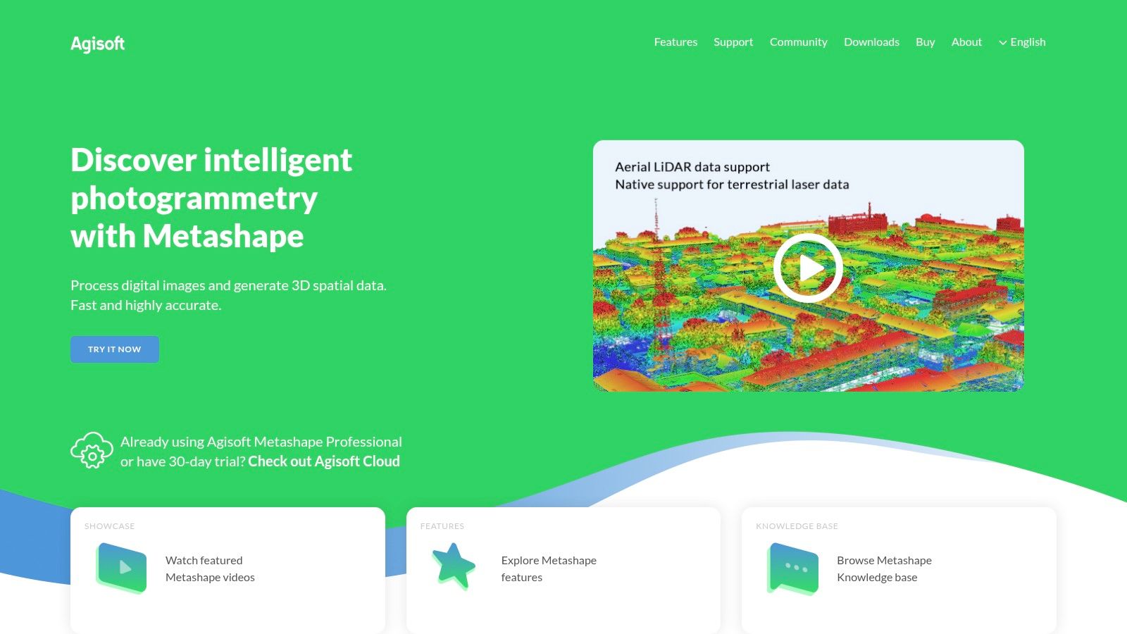
Unlike cloud-first platforms, Metashape gives users complete command over the processing workflow on their local machine. This allows for meticulous editing of point clouds and meshes, advanced georeferencing, and the ability to handle massive datasets without relying on an internet connection. Its strength lies in its flexibility and comprehensive toolset, making it the go-to solution for surveyors and photogrammetrists who need to fine-tune every aspect of their models for professional-grade outputs.
Key Features & Considerations
Best For: Surveying professionals, GIS specialists, and researchers needing maximum accuracy and control over the photogrammetric process.
Pricing: One-time perpetual license fee, with Standard and Professional editions. The upfront cost is significant but avoids recurring subscription fees.
User Experience: The interface is powerful but comes with a steep learning curve, making it less suitable for beginners than automated cloud platforms.
Pros: - Exceptional accuracy and detail in final models. - Flexible, granular control over processing parameters. - Works offline, processing large datasets locally.
Cons: - Requires powerful local hardware for efficient processing. - Complex interface can be intimidating for new users.
Website: https://www.agisoft.com/
11. DJI Terra
DJI Terra is a powerful photogrammetry software suite built by the world's leading drone manufacturer. It stands out among drone mapping services for its seamless, end-to-end integration with DJI's enterprise drone fleet. This dedicated software is engineered to transform aerial data into detailed digital assets, offering a streamlined workflow from mission planning and data acquisition to processing and analysis for industries like public safety, construction, and infrastructure inspection.
What makes DJI Terra unique is its real-time mapping capability, which allows pilots to generate a 2D orthomosaic of the surveyed area as the drone is still in the air. This feature is invaluable for time-sensitive missions requiring immediate situational awareness. While it provides robust tools for professionals, its intuitive design also makes it accessible for those just starting. You can see how it stacks up against other options in this guide to the best drone mapping software.
Key Features & Considerations
Best For: Organizations heavily invested in the DJI hardware ecosystem seeking an integrated, efficient mapping solution.
Pricing: Offered via annual or perpetual licenses, with different tiers for functions like agriculture, electricity, or 3D modeling. This can be a significant upfront investment.
User Experience: The interface is clean and aligns well with DJI's other software, creating a familiar environment for existing DJI users.
Pros: - Exceptional integration with DJI enterprise drones. - Real-time 2D and 3D mapping capabilities. - Fast, efficient processing optimized for DJI data.
Cons: - Primarily designed for DJI hardware, limiting use with other drone brands. - Licensing model can be expensive compared to monthly subscriptions.
Website: https://www.dji.com/terra
12. OpenDroneMap
OpenDroneMap (ODM) presents a powerful, open-source alternative in the world of drone mapping services, catering to users with technical proficiency. It is a command-line toolkit and ecosystem designed to process aerial imagery into high-quality orthomosaics, point clouds, and 3D models. As a free-to-use solution, ODM offers unparalleled flexibility and customization, allowing users to fine-tune every aspect of the processing pipeline without the constraints of a subscription fee.
What truly distinguishes OpenDroneMap is its community-driven, transparent nature. It's not a polished, cloud-based platform but a robust engine that you install and run on your own hardware. This gives you complete control over your data and processing resources. While it demands a significant learning curve involving command-line interfaces and local installation, the active community provides extensive documentation and support, making it an excellent choice for academics, researchers, and DIY professionals who need a capable, no-cost photogrammetry solution.
Key Features & Considerations
Best For: Technically skilled users, researchers, and budget-conscious professionals who need a customizable, self-hosted mapping engine.
Pricing: Completely free. It's an open-source project, so there are no licensing fees. Costs are limited to your own hardware and time.
User Experience: Requires significant technical expertise to set up and operate effectively. It is not a user-friendly, point-and-click interface like commercial alternatives.
Pros: - Entirely free with no licensing costs. - Highly flexible and customizable processing parameters. - Strong community support through forums and documentation.
Cons: - Steep learning curve; not suitable for beginners. - Lacks the polished UI and automated workflows of paid services.
Website: https://opendronemap.org/
Top 12 Drone Mapping Services Comparison
Product | Core Features ✨ | User Experience ★★★★☆ | Value Proposition 💰 | Target Audience 👥 | Unique Selling Points 🏆 |
|---|---|---|---|---|---|
DroneDeploy | Automated flight planning, real-time mapping, AI analysis, cloud processing | User-friendly, fast processing | Subscription-based, collaboration | Beginners, professionals in construction, agriculture, mining | Easy to use, team collaboration |
Pix4D | Cloud & desktop options, industry modules, orthomosaics, point cloud editing | High accuracy, steep learning curve | Premium pricing | Professional users in agriculture, construction | Flexible processing, accuracy |
3Dsurvey | Photogrammetry tools, user-friendly, multi-platform support, detailed reports | User-friendly | Special edu pricing, free student licenses | North American users, educational institutions | Education-focused licensing |
MapNova | Orthomosaics, live streaming, hotspot detection, anomaly ID | User-friendly | Free & affordable plans | Beginners to professionals | Free basic plan, predictable pricing |
Microdrones | Integrated drone & LiDAR, data processing software, pro support | All-in-one ease of use | Higher initial cost | Surveying professionals, multiple industries | Hardware-software integration |
GeoCue | Hardware, LP360 software, training, consulting, data management | Comprehensive support | Significant investment | Various industries needing expert solutions | Full project support & consulting |
Drone Mapping Tools | Wide software selection, licenses, multi-platform support | User-friendly website | Competitive pricing | Drone mapping software buyers | One-stop shop for software |
SmartDrone | On-demand mapping, LiDAR, volumetric & cut-fill analysis | Professional service | Service cost higher than DIY | Users needing quick, nationwide drone services | Nationwide on-demand services |
Maverick Drone Systems | Mapping software from leading developers, perpetual & subscription | User-friendly website | Competitive pricing | Drone software users | Wide software variety |
Agisoft Metashape | Advanced photogrammetry, editing tools, georeferencing | High accuracy, complex for beginners | Premium pricing | Expert GIS, heritage, VFX professionals | Advanced processing & editing tools |
DJI Terra | DJI drone integration, real-time 3D, flight automation | User-friendly, fast processing | Subscription-based | DJI users, beginners & pros | Seamless DJI integration |
OpenDroneMap | Open-source, editing & georeferencing tools | Flexible but technical to use | Free | Tech-savvy users, open-source supporters | Fully free and customizable |
Charting Your Course in the Aerial Data Landscape
Navigating the expansive world of drone mapping services can feel like charting a new continent. We've explored a diverse fleet of powerful tools, from industry giants like DroneDeploy and Pix4D to specialized solutions such as Agisoft Metashape and the open-source power of OpenDroneMap. The key takeaway is clear: there is no single "best" platform, only the one that best aligns with your specific operational needs, technical expertise, and project goals.
Your journey from aerial image acquisition to actionable 3D model or orthomosaic map is unique. A commercial drone operator in construction will prioritize progress tracking and volumetric analysis, making platforms with robust collaboration and annotation features essential. In contrast, a land surveyor requires survey-grade accuracy and geodetic control, pushing them toward desktop software like GeoCue or 3Dsurvey that offers granular control over data processing. For the tech enthusiast or DIY builder, the flexibility and cost-effectiveness of OpenDroneMap present an unparalleled opportunity for learning and experimentation.
Final Considerations for Selecting Your Service
Before you commit to a subscription or software license, it's crucial to look beyond the feature list and consider the entire workflow. Your choice of drone mapping services has long-term implications for your operational efficiency and data management.
Hardware Compatibility: Ensure the platform seamlessly integrates with your current drone and camera setup. Check for specific support for DJI drones, Wingtra fixed-wings, or custom-built rigs to avoid frustrating compatibility issues down the line.
Data Processing and Storage: The datasets generated from photogrammetry are massive. Consider whether a cloud-based solution (like DroneDeploy) or a powerful local machine (for Metashape or Pix4Dmapper) is more practical for your processing needs. Once your aerial data is collected and processed, managing the resulting large files efficiently is paramount. For comprehensive insights into optimizing these datasets, learn how to reduce file size without sacrificing quality.
Scalability and Growth: Will this service grow with you? A hobbyist might start with a free or entry-level plan, but a professional will need a platform that can scale to handle hundreds of projects, multiple users, and increasingly complex data outputs.
Ultimately, the power of modern drone mapping lies in its ability to transform raw aerial pixels into strategic intelligence. Whether you are monitoring crop health, inspecting infrastructure, or creating stunning 3D visualizations, the right tool acts as the critical bridge between your drone in the sky and the data-driven decisions you make on the ground. Take the insights from this guide, run trials where possible, and choose the service that will not just meet your current demands but also empower your future aerial endeavors.
Ready to capture the high-resolution imagery your mapping projects demand? The JAB Drone offers exceptional stability, extended flight times, and a state-of-the-art camera system designed for professional photogrammetry and inspection tasks. Elevate your data acquisition by visiting the official JAB Drone website to see how our hardware can power your chosen mapping software.

Comments