2025's Best Drone Mapping Software Guide
- A.E. Williams

- Apr 26, 2025
- 16 min read
Taking Off with the Best Drone Mapping Software
Need to transform raw drone footage into accurate maps and models? This list of the 8 best drone mapping software options will help you find the perfect tool for your needs. Whether you're a hobbyist or a professional, you'll discover software to create 2D maps, 3D models, and extract valuable data. We'll cover top solutions like DroneDeploy, Pix4D, Agisoft Metashape, DJI Terra, Maps Made Easy, PrecisionHawk, OpenDroneMap, and Propeller, providing the insights you need to choose the best drone mapping software for your next project.
1. DroneDeploy
DroneDeploy is a leading contender for the title of best drone mapping software, offering a comprehensive cloud-based solution for capturing, processing, and analyzing aerial imagery. This powerful platform caters to a wide range of industries, from agriculture and construction to mining and inspection. Whether you're a drone hobbyist mapping your property, a professional photographer creating stunning 3D models, or a commercial drone operator conducting large-scale surveys, DroneDeploy provides the tools you need to transform raw drone data into actionable insights. Its real-time mapping capabilities allow you to see your maps develop as your drone flies, while its advanced processing tools generate high-quality 2D maps, 3D models, and elevation maps. The platform's user-friendly interface makes it accessible to beginners, yet it packs enough powerful analytics tools to satisfy even the most demanding professionals. For those seeking a robust and versatile drone mapping solution, DroneDeploy is definitely worth considering.
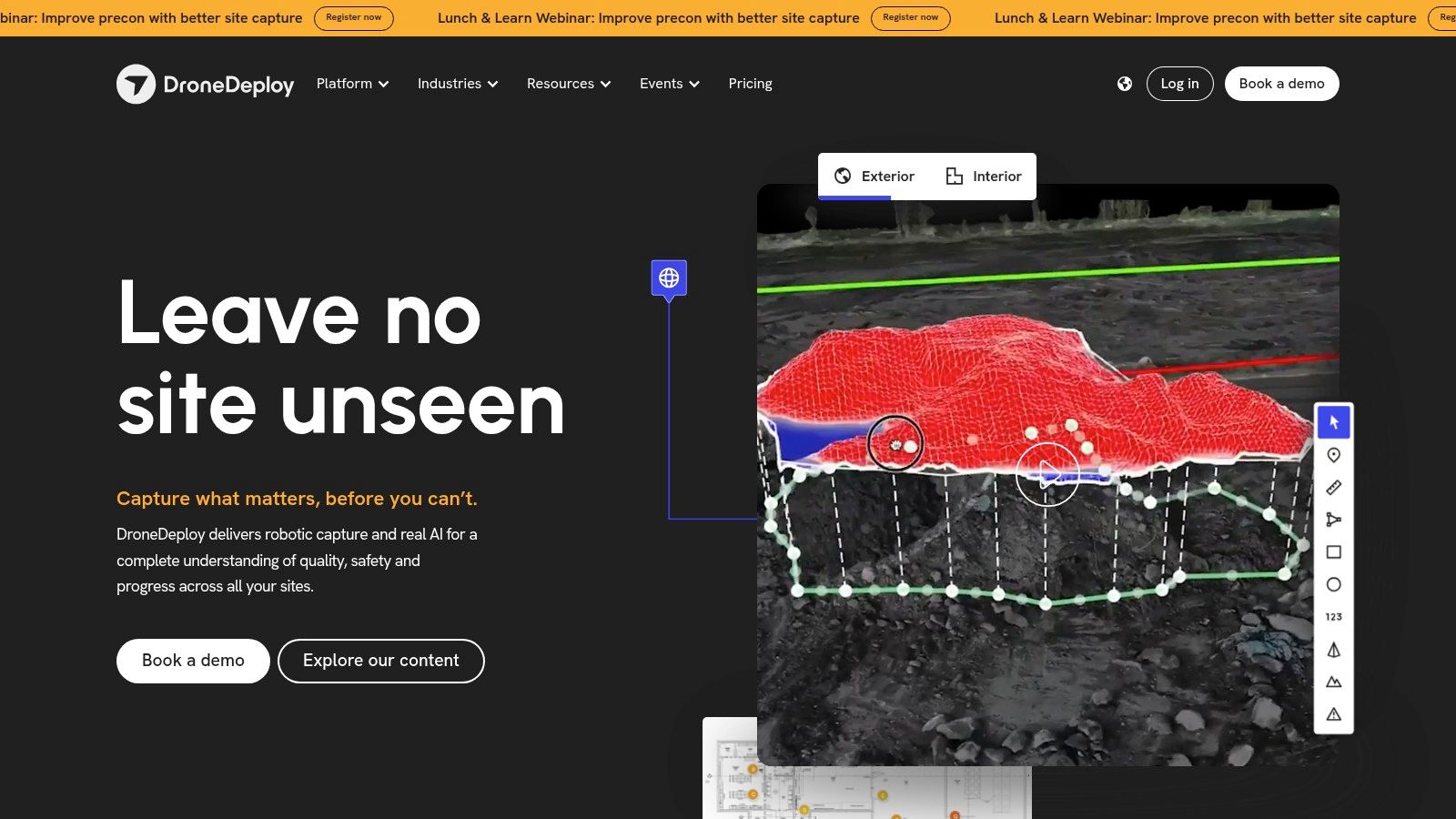
One of DroneDeploy's key strengths is its AI-powered analysis tailored for specific industries. For example, in agriculture, DroneDeploy can identify crop stress, analyze plant health, and even estimate yields. In construction, it can track progress, measure volumes, and create accurate site surveys. This specialized functionality sets it apart from more generic mapping software. Integrated flight planning and automated mission capabilities streamline your workflow, allowing you to pre-plan flights and collect data efficiently. Learn more about DroneDeploy to see how their automated features compare to competitors. The platform's multi-platform compatibility (web, iOS, and Android) ensures seamless access to your data and projects regardless of your device. Powerful enterprise collaboration features allow teams to share data, annotate maps, and work together on projects, enhancing productivity and communication.
While DroneDeploy offers a free trial for exploring basic features, its more advanced capabilities require a subscription. Its pricing tiers cater to different needs and budgets, but it's worth noting that DroneDeploy is generally considered a premium option compared to some open-source or entry-level alternatives. While specific pricing isn't publicly available and requires contacting sales, expect to invest more for access to features like advanced analytics and enterprise collaboration. Technical requirements vary based on the chosen features and processing demands, but generally, a modern computer or mobile device with a stable internet connection is sufficient for utilizing the platform effectively. One potential drawback is occasional processing delays during peak usage times, though this is a relatively minor inconvenience given the platform's overall performance and capabilities.
Pros:
Intuitive user interface suitable for beginners
Excellent mobile app functionality
Strong integration with various drone models
Powerful enterprise collaboration features
Cons:
Higher pricing compared to some competitors
Some advanced features require premium subscription plans
Occasional processing delays during peak usage times
Website: https://www.dronedeploy.com/
2. Pix4D
Pix4D stands out as a leading choice for best drone mapping software, particularly for professionals seeking high precision and accuracy. This professional photogrammetry software suite offers a range of specialized solutions tailored for diverse industries like surveying, construction, agriculture, and public safety. Pix4D transforms raw drone images into highly detailed and accurate georeferenced 2D maps and 3D models, making it a popular choice among professional surveyors, GIS specialists, and commercial drone operators. Its ability to generate precise outputs from aerial imagery allows users to make informed decisions based on reliable data. This makes it invaluable for applications like measuring stockpile volumes on construction sites, analyzing crop health in agriculture, or creating detailed maps for urban planning.
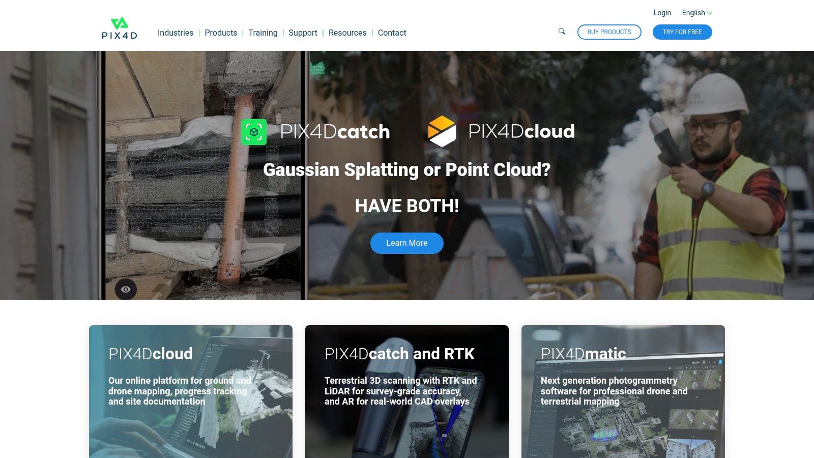
Pix4D offers a comprehensive feature set, including high-accuracy photogrammetry processing, advanced measurement and volume calculation tools, and detailed orthomosaic and digital surface model creation. The software also boasts specialized industry solutions like Pix4Dfields for agriculture and Pix4Dsurvey for surveying professionals. These tailored solutions offer specific tools and workflows optimized for particular needs, streamlining processes and maximizing efficiency. You can Learn more about Pix4D and its capabilities on various platforms.
The availability of both desktop and cloud processing options provides flexibility depending on project requirements and internet access. While the desktop version offers powerful processing capabilities for demanding tasks, the cloud-based option allows for collaborative workflows and accessibility from anywhere. For those handling large datasets or requiring fast turnaround times, Pix4D’s cloud processing can be a significant advantage.
While Pix4D is highly regarded for its accuracy and comprehensive features, it’s worth noting that it comes with a premium pricing structure. This reflects the advanced capabilities and professional-grade output it delivers. The software also has a steeper learning curve for beginners compared to some more basic drone mapping software options. However, Pix4D provides extensive training and support resources, including tutorials and documentation, to help users get up to speed. Additionally, the desktop processing can be resource-intensive, requiring a computer with a powerful processor and ample RAM.
Features:
High-accuracy photogrammetry processing
Specialized industry solutions (Pix4Dfields, Pix4Dsurvey, etc.)
Desktop and cloud processing options
Advanced measurement and volume calculation tools
Detailed orthomosaic and digital surface model creation
Pros:
Industry-leading accuracy and precision
Comprehensive feature set for professional applications
Extensive training and support resources
Regular updates with cutting-edge features
Cons:
Steeper learning curve for beginners
Premium pricing structure
Resource-intensive desktop processing requirements
Website: https://www.pix4d.com/
3. AgiSoft Metashape
AgiSoft Metashape, formerly known as PhotoScan, is a robust standalone photogrammetry software ideal for transforming drone imagery into accurate 3D spatial data. This powerful tool caters to a broad user base, from hobbyists capturing breathtaking aerial landscapes to professionals involved in surveying, archaeology, and research. Metashape's strength lies in its ability to generate high-quality 3D models, orthomosaics, and digital elevation models (DEMs), giving users complete control over the processing workflow. Its detailed outputs and extensive control over processing make it one of the best drone mapping software options for demanding projects.
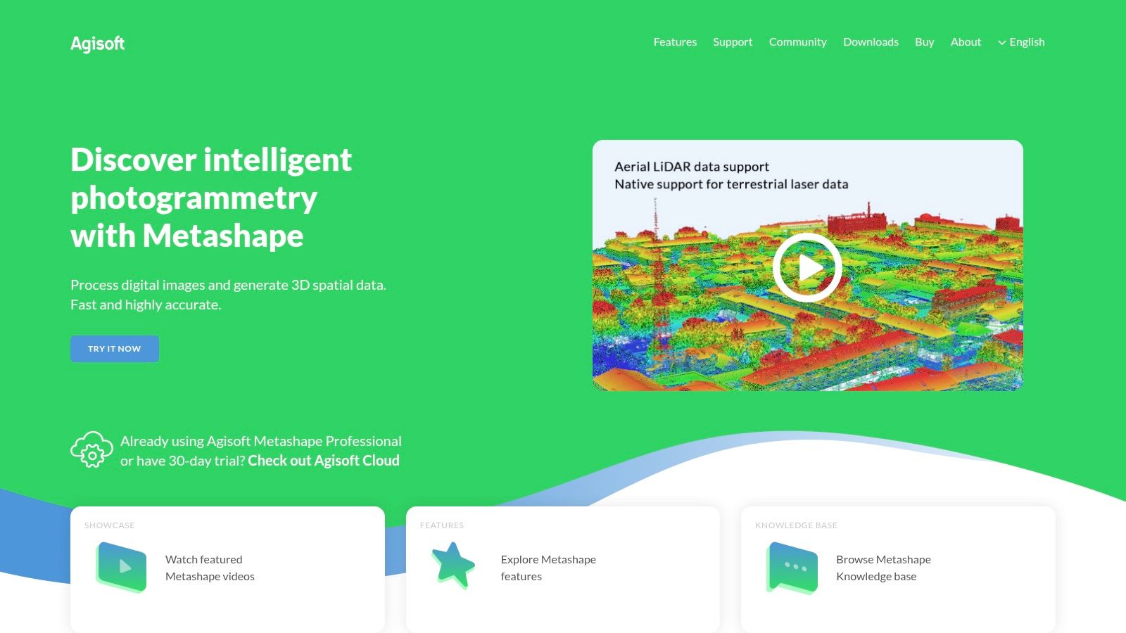
AgiSoft Metashape's sophisticated photogrammetry algorithms are at the core of its exceptional 3D reconstruction capabilities. Unlike some cloud-based solutions, Metashape processes data locally, providing users with significant control over every parameter. This level of customization is especially valuable for scientific and research applications requiring high precision and specific outputs. For example, archaeologists can use Metashape to create incredibly detailed 3D models of excavation sites, while surveyors can generate accurate DEMs for land management and planning. Even drone hobbyists and photography enthusiasts benefit from the software's ability to produce stunningly realistic 3D representations of landscapes and structures.
While other best drone mapping software options might offer a simpler interface, Metashape's comprehensive feature set makes it a worthwhile investment for those seeking superior results. These features include advanced texture mapping, mesh generation, and support for georeferencing and Ground Control Points (GCPs), ensuring accurate geographic placement of your 3D models. Furthermore, its Python scripting capabilities enable workflow automation, saving valuable time on repetitive tasks, particularly beneficial for commercial drone operators processing large datasets regularly.
Pros:
One-time purchase: Avoid recurring subscription fees with a perpetual license.
Exceptional quality: Produces highly detailed 3D models, orthomosaics, and DEMs.
Scientific focus: Excellent for research and professional applications requiring precision.
Powerful batch processing: Automate workflows and handle large datasets efficiently.
Cons:
Steeper learning curve: Requires technical knowledge to fully utilize its capabilities.
Limited cloud processing: Primarily a desktop-based application with limited cloud integration.
Interface complexity: Can be less intuitive than some competitor software.
Pricing: AgiSoft Metashape offers various licensing options, from perpetual professional licenses to educational and floating licenses, catering to different needs and budgets. Check their website for current pricing details.
Technical Requirements: AgiSoft Metashape is compatible with Windows, macOS, and Linux. A powerful computer with a dedicated graphics card is recommended for optimal performance, especially when processing large datasets.
Implementation Tips: Start with a smaller dataset to familiarize yourself with the workflow and explore various processing parameters. Utilize online tutorials and the AgiSoft community forum to learn advanced techniques and troubleshoot any issues. Using GCPs significantly improves the accuracy of your models, especially for mapping large areas.
Website: https://www.agisoft.com/
AgiSoft Metashape earns its spot among the best drone mapping software because of its focus on delivering high-quality results and offering granular control over the photogrammetry process. While it might require a more significant time investment upfront to master, the payoff in terms of accuracy and detail makes it a top choice for serious drone mapping projects.
4. DJI Terra
DJI Terra is a powerful drone mapping software designed specifically for seamless integration with DJI drone systems. This makes it a particularly compelling choice for users already invested in the DJI ecosystem, offering a streamlined workflow from flight planning to data processing and analysis. Whether you're a professional surveyor, a construction manager, or an agricultural specialist, DJI Terra provides the tools to create accurate 2D maps and detailed 3D models for a variety of applications. Its intuitive interface simplifies complex mapping tasks, making it accessible to both seasoned professionals and those new to drone mapping. This, combined with its real-time 2D mapping capabilities, makes DJI Terra a strong contender for the title of best drone mapping software for DJI users.
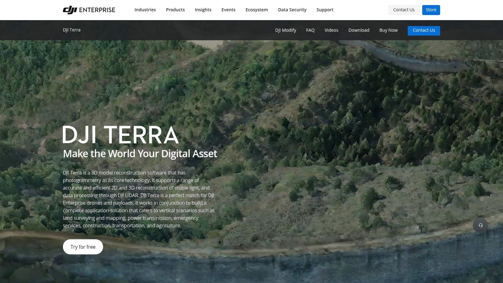
DJI Terra's key strength lies in its optimization for DJI drone platforms. This tight integration allows for effortless flight planning and control, ensuring efficient data acquisition. Features like real-time 2D mapping during flight are particularly useful for tasks requiring immediate insights, such as monitoring crop health or assessing disaster damage. After your flight, DJI Terra offers robust 3D reconstruction capabilities, allowing you to generate highly detailed models of structures, landscapes, or any area of interest. These models can then be measured and annotated directly within the software, providing valuable data for various applications, including construction planning, infrastructure inspection, and volumetric analysis.
Features:
Optimized for DJI drone platforms
Real-time 2D mapping during flight
Comprehensive mission planning tools
Efficient 3D reconstruction capabilities
Detailed measurement and annotation tools
Pros:
Seamless integration with DJI hardware
Intuitive interface with minimal learning curve
Excellent real-time mapping capabilities
Cost-effective for DJI drone users
Cons:
Limited compatibility with non-DJI drones. While some workarounds may exist, DJI Terra is fundamentally designed for DJI hardware. This can be a significant limitation for users with drones from other manufacturers.
Fewer advanced features compared to specialized mapping software like Pix4Dmapper or Agisoft Metashape. While DJI Terra covers the core functionalities of drone mapping effectively, it may lack some of the niche tools and algorithms found in more specialized solutions.
Processing quality can be inconsistent for complex projects with challenging terrain or dense vegetation. In such scenarios, more specialized software might offer superior results.
Pricing and Technical Requirements: DJI Terra offers different license options, including perpetual and subscription-based models. Details on pricing and specific system requirements can be found on the DJI website. It's important to verify that your DJI drone model is compatible with the software before purchasing.
Implementation Tip: Before your first mapping mission, familiarize yourself with the flight planning tools within DJI Terra. Proper planning is crucial for efficient data acquisition and ensures that you capture the necessary data for your specific project. Explore the different flight modes and adjust parameters like overlap and flight altitude to optimize your results.
Website: https://www.dji.com/dji-terra
DJI Terra earns its place on this list of the best drone mapping software due to its ease of use, seamless integration with DJI drones, and robust core feature set. While it may not offer the advanced capabilities of specialized software, its intuitive interface and efficient workflow make it an excellent option for DJI users seeking a streamlined mapping solution.
5. Maps Made Easy
Maps Made Easy earns its spot on our list of best drone mapping software thanks to its accessible cloud-based platform and attractive pay-per-map pricing model. This makes it an ideal choice for hobbyists, occasional users, and those with smaller projects who don't want to be locked into expensive subscriptions. Whether you're a real estate photographer capturing a property overview, a farmer assessing crop health, or a drone enthusiast creating a 3D model of a local landmark, Maps Made Easy provides a straightforward and cost-effective solution.
This user-friendly platform requires no software installation, making it compatible with various operating systems. Simply upload your drone imagery, and let Maps Made Easy handle the processing. It specializes in creating orthomosaic maps, which combine multiple images to create a geometrically corrected aerial view, as well as detailed 3D models and NDVI maps for agricultural analysis. The platform’s digital elevation model (DEM) generation capabilities also prove useful for land surveying and construction planning. Once processed, sharing your maps is easy with convenient embedding options. This makes presenting your work to clients or sharing your latest drone project with friends on social media incredibly simple.
While Maps Made Easy shines in its simplicity and affordability, it’s essential to be aware of its limitations. Advanced processing options found in some premium drone mapping software, like custom processing parameters or point cloud manipulation, are not available. Processing times can also be lengthy for larger datasets, so if you're working on a time-sensitive large-scale project, another solution might be more suitable. The feature set, while robust for basic to intermediate needs, is less comprehensive compared to professional-grade software like Pix4D or DroneDeploy.
However, for many users, these limitations are outweighed by the platform's ease of use and cost-effectiveness. The pay-per-project pricing structure eliminates the need for ongoing subscription fees, making it a budget-friendly option for smaller or occasional mapping endeavors. You only pay for the processing power you use, which is perfect for those who don't require constant access to advanced features.
Getting started with Maps Made Easy is straightforward. Simply create an account on their website (https://www.mapsmadeeasy.com/), upload your drone imagery, select the desired output (orthomosaic, 3D model, NDVI), and let the platform do the work. No specialized hardware or software is required, meaning you can access and process your maps from virtually any device with an internet connection. For those seeking a simple, affordable, and user-friendly solution for their drone mapping needs, Maps Made Easy provides excellent value. This best drone mapping software contender is perfect for anyone who needs high-quality maps without the commitment and complexity of more advanced software packages.
6. PrecisionHawk
PrecisionHawk distinguishes itself among the best drone mapping software options by offering a comprehensive, enterprise-grade platform tailored for complex commercial applications. This isn't your hobbyist mapping tool; PrecisionHawk targets large organizations with its robust data processing, industry-specific analytics, and seamless integration with existing business systems. If you're looking for a solution that can handle demanding workflows and provide in-depth insights, PrecisionHawk deserves serious consideration. This software empowers businesses to leverage drone data for actionable improvements in various sectors, from optimizing crop yields in agriculture to enhancing safety inspections in energy.
PrecisionHawk’s strength lies in its specialized analytics modules. While some drone mapping software provides basic measurements and 2D maps, PrecisionHawk goes further, offering industry-specific tools. For example, in agriculture, it can analyze crop health, identify areas needing attention, and even generate variable rate prescriptions for optimized fertilizer application. In the energy sector, it facilitates detailed inspections of infrastructure, identifying potential issues before they escalate. These advanced features elevate it beyond simple mapping into a powerful business intelligence tool. Learn more about PrecisionHawk for further details on their diverse applications.
Its comprehensive flight planning and management features streamline complex drone operations. From pre-flight checks to automated flight paths and data acquisition, PrecisionHawk simplifies the entire drone workflow. Further enhancing its enterprise-ready nature is the seamless integration with existing business systems. This allows for streamlined data sharing and analysis within the organization, contributing to better decision-making processes.
While PrecisionHawk's powerful capabilities make it a top contender for the best drone mapping software, it's important to consider the cost. The platform's enterprise focus translates to a higher price point, potentially making it less suitable for smaller businesses or individual users. Additionally, the system's complexity, while advantageous for large-scale operations, can create a steeper learning curve for initial implementation. For those with simpler mapping needs, less feature-rich software might suffice. However, for organizations demanding robust, industry-specific analytics, advanced data visualization, and seamless enterprise integration, PrecisionHawk's comprehensive features justify the investment. While pricing details are not readily available, interested parties can contact PrecisionHawk directly to obtain quotes tailored to their specific needs and deployment scale. Technical requirements will likely vary based on the chosen modules and integration needs, but expect robust computing resources and stable internet connectivity for optimal performance. PrecisionHawk's powerful analytics and enterprise-grade features place it firmly among the best drone mapping software options available for large-scale commercial applications.
7. OpenDroneMap: Unleash the Power of Open-Source Drone Mapping
OpenDroneMap (ODM) stands out among the best drone mapping software as a powerful, free, and open-source photogrammetry toolkit. It's designed specifically for processing aerial drone imagery, offering a complete mapping pipeline from image processing to generating point clouds, meshes, orthophotos, and more. This makes it an incredibly versatile option for a wide range of users, from hobbyists experimenting with drone photography to professionals requiring precise mapping data. Its open-source nature grants unparalleled flexibility, customization options, and a vibrant community support network, making it particularly attractive to researchers, developers, and budget-conscious users. If you're seeking a robust, cost-effective solution and are comfortable with a bit of a technical learning curve, ODM could be the perfect drone mapping software for you.

Unlike commercial drone mapping software options which often come with hefty subscription fees or per-project costs, ODM is completely free to use. This eliminates licensing costs, allowing you to dedicate your budget to other essential drone equipment or software. ODM also imposes no limitations on project size or usage, meaning you can process as much data as you need without incurring additional expenses. This makes it an ideal choice for large-scale mapping projects or situations where budget is a primary concern.
ODM’s comprehensive photogrammetry pipeline handles every step of the mapping process. You can input images captured by your drone and let ODM generate a variety of outputs, including detailed point clouds, textured 3D meshes, and orthomosaics. This versatility caters to various applications, from creating realistic 3D models for architectural visualization to generating accurate orthophotos for land surveying or agricultural analysis. For those familiar with command-line interfaces, WebODM provides a more user-friendly graphical interface, simplifying the processing workflow. ODM also offers flexible deployment options: you can install it on your desktop, run it on a web server using WebODM, or utilize cloud-based processing for larger datasets. This ensures compatibility with a range of hardware and software configurations, providing the flexibility to choose the deployment that best suits your needs and resources.
Features:
Completely free and open-source
Full photogrammetry processing pipeline
Multiple deployment options (desktop, web, cloud via WebODM)
Support for various output formats including point clouds, meshes, and orthophotos
Active community development and support
Pros:
Zero licensing costs
High degree of customization possible
Transparency in processing algorithms
No limitations on project size or usage
Cons:
Steeper technical learning curve
Less polished user interface compared to commercial options (although WebODM mitigates this)
Requires more technical knowledge to set up and optimize
Limited direct customer support (reliance on community forums)
Implementation/Setup Tips:
Start with WebODM: If you're new to ODM, using WebODM is highly recommended as it provides a more accessible graphical interface.
Utilize the documentation: The ODM community has created extensive documentation and tutorials which are valuable resources for learning the software.
Experiment with smaller datasets initially: Before tackling large projects, familiarize yourself with the workflow and settings using smaller datasets.
Join the community forum: The active ODM community forum is a great place to ask questions, seek assistance, and share your experiences.
Website: https://www.opendronemap.org/
OpenDroneMap distinguishes itself within the landscape of best drone mapping software by offering professional-level capabilities without the associated cost. While it requires some technical proficiency, the flexibility, customization options, and free access make it an incredibly powerful tool for anyone serious about drone mapping. Whether you are a tech enthusiast, a commercial drone operator, or a DIY drone builder looking to delve into photogrammetry, OpenDroneMap provides a robust and accessible pathway to unlock the full potential of your drone imagery.
8. Propeller: Drone Mapping Powerhouse for Earthworks and Construction
Propeller carves a niche for itself among the best drone mapping software options by catering specifically to the needs of construction, mining, and earthworks professionals. While other software might offer broader applications, Propeller's laser focus allows it to deliver an exceptionally powerful and tailored solution for these industries. If you're managing large-scale earthmoving projects, tracking site progress, or needing precise volumetric measurements, Propeller deserves serious consideration.
This platform distinguishes itself through its tight integration of hardware and software. While it can process data from any drone, using Propeller's proprietary AeroPoints (smart ground control points) elevates accuracy to survey-grade levels. These rugged, self-locating markers simplify the ground control process, drastically reducing setup time and ensuring highly reliable measurements.
Propeller's cloud-based processing engine takes the heavy lifting out of data crunching. Simply upload your drone imagery, and the platform generates detailed 3D models, orthomosaics, and point clouds. But the real magic lies in Propeller's specialized toolset:
Volumetric Calculations & Stockpile Analysis: Precisely measure material volumes, track stockpile levels, and generate cut/fill reports. This is invaluable for accurate progress tracking, cost estimation, and inventory management.
Timeline Comparisons: Visualize project progress over time by comparing 3D models from different dates. Quickly identify areas of progress or delays and gain valuable insights into project efficiency.
Collaboration & Sharing: Propeller facilitates seamless teamwork with permission-controlled access and intuitive sharing options. Easily distribute reports, visualizations, and data with stakeholders, clients, and field teams.
Pros:
Industry-Specific Expertise: Propeller's tools are purpose-built for the unique challenges of construction, mining, and earthworks.
Unmatched Accuracy (with AeroPoints): Achieve survey-grade accuracy with minimal ground control setup.
Intuitive Interface: Designed for field use, the platform is easy to navigate and understand, even for non-technical users.
Powerful Collaboration Features: Streamline communication and data sharing within teams and across organizations.
Cons:
Niche Focus: While powerful within its niche, Propeller might not be the ideal choice for general mapping purposes or other industries.
Premium Pricing: Reflecting its specialized features and high accuracy, Propeller utilizes a premium pricing structure. Contact them directly for detailed pricing information based on your specific needs.
AeroPoints Investment: While not strictly required, achieving optimal accuracy necessitates investing in AeroPoints, adding to the overall cost.
Implementation Tips:
Plan your flight path meticulously: Ensure adequate image overlap for optimal 3D model reconstruction.
Utilize AeroPoints for best results: While you can use traditional ground control points (GCPs), AeroPoints significantly simplify the process and enhance accuracy.
Explore the platform's training resources: Propeller provides comprehensive documentation and tutorials to help you maximize the platform's capabilities.
Why Propeller Deserves a Spot on This List:
Propeller's dedicated focus and powerful toolset make it a clear winner for professionals in the construction, mining, and earthworks industries. Its ability to deliver highly accurate data, coupled with its intuitive interface and collaborative features, empowers teams to make data-driven decisions, optimize operations, and enhance project efficiency. If accuracy and specialized tools are paramount for your drone mapping projects, Propeller warrants serious consideration.
Core Features Comparison: Top 8 Drone Mapping Tools
Product | Core Features ★ | User Experience 🏆 | Value Proposition 💰 | Target Audience 👥 | Unique Selling Points ✨ |
|---|---|---|---|---|---|
DroneDeploy | Real-time mapping; AI analytics; multi-platform integration | Intuitive interface; excellent mobile app | Robust analytics; enterprise collaboration; premium | Agriculture, construction, inspection, mining | Integrated flight planning |
Pix4D | High-precision photogrammetry; 2D/3D mapping; industry-specific modules | Robust features; steeper learning curve | Cutting-edge functions; premium pricing | Professional surveyors, GIS specialists | Industry-leading accuracy |
AgiSoft Metashape | Advanced 3D reconstruction; orthomosaics; Python scripting | Powerful but less intuitive | One-time purchase for long-term value | Researchers, archaeologists, survey professionals | Exceptional 3D model quality |
DJI Terra | Optimized for DJI drones; real-time 2D/3D mapping; mission planning tools | Very user-friendly; minimal learning curve | Cost-effective for DJI users | DJI enterprise drone users | Seamless DJI integration |
Maps Made Easy | Pay-per-project pricing; orthomosaic, 3D & NDVI mapping; web-based processing | Simple upload and processing; user-friendly | Affordable for occasional projects; no subscription | Casual users, small-scale mapping projects | Flexible pay-per-map model |
PrecisionHawk | End-to-end enterprise solution; advanced analytics; integrated flight planning | Robust enterprise-grade; can be complex | Comprehensive capabilities with high price point | Large enterprises in agriculture, energy, construction | Industry-specific analytics |
OpenDroneMap | Full photogrammetry pipeline; open-source; customizable processing | Technical with a steeper learning curve | Free with high customization; zero licensing cost | Researchers, developers, budget-conscious users | Complete customization and transparency |
Propeller | Integration with AeroPoints; volumetric measurement; timeline comparisons | Intuitive for field teams; streamlined collaboration | Premium pricing for specialized worksite management | Construction, mining, earthworks teams | Specialized survey tools for industry needs |
Choosing the Right Drone Mapping Software
Finding the best drone mapping software can feel overwhelming with so many options available. This article has highlighted some of the top contenders, ranging from user-friendly platforms like DroneDeploy and DJI Terra to professional-grade software like Pix4D and Agisoft Metashape. We also explored open-source alternatives like OpenDroneMap and specialized solutions like PrecisionHawk and Propeller. The key takeaway is that the "best" software truly depends on your individual needs, budget, and technical skills.
When making your decision, consider factors such as the required accuracy and level of detail, the complexity of the software's interface, the available processing features, and the compatibility with your drone hardware. For beginners, ease of use and affordability might be prioritized, while experienced professionals might require advanced features and integrations. Remember to also account for ongoing costs like subscriptions and cloud processing fees.
Choosing the right drone mapping software empowers you to unlock the full potential of your aerial data, transforming raw images into valuable insights. From creating detailed 3D models to generating accurate maps and conducting precise measurements, the right software can revolutionize your workflow.
Ready to take your drone mapping projects to the next level? JAB Drone offers comprehensive resources and expert guidance to help you navigate the world of drone technology and choose the perfect mapping software for your needs. Visit us at JAB Drone to explore our in-depth reviews, comparisons, and more!
Comments