Top Photogrammetry Software for Drones in 2025
- Paul Simmons

- May 26, 2025
- 20 min read
Taking Flight with Photogrammetry: Choosing the Right Software
Transforming drone imagery into accurate 3D models and maps requires powerful photogrammetry software. This listicle presents eight leading photogrammetry software options for drones in 2025, helping you choose the best tool for your needs and budget. Whether you need to create detailed maps, realistic 3D models, or precise measurements from aerial photos, this guide will simplify your search. We'll cover Pix4Dmapper, Agisoft Metashape, DroneDeploy, RealityCapture, Bentley ContextCapture, WebODM, Correlator3D, and Meshroom, providing valuable insights for both beginners and experienced drone operators seeking the right photogrammetry software for drones.
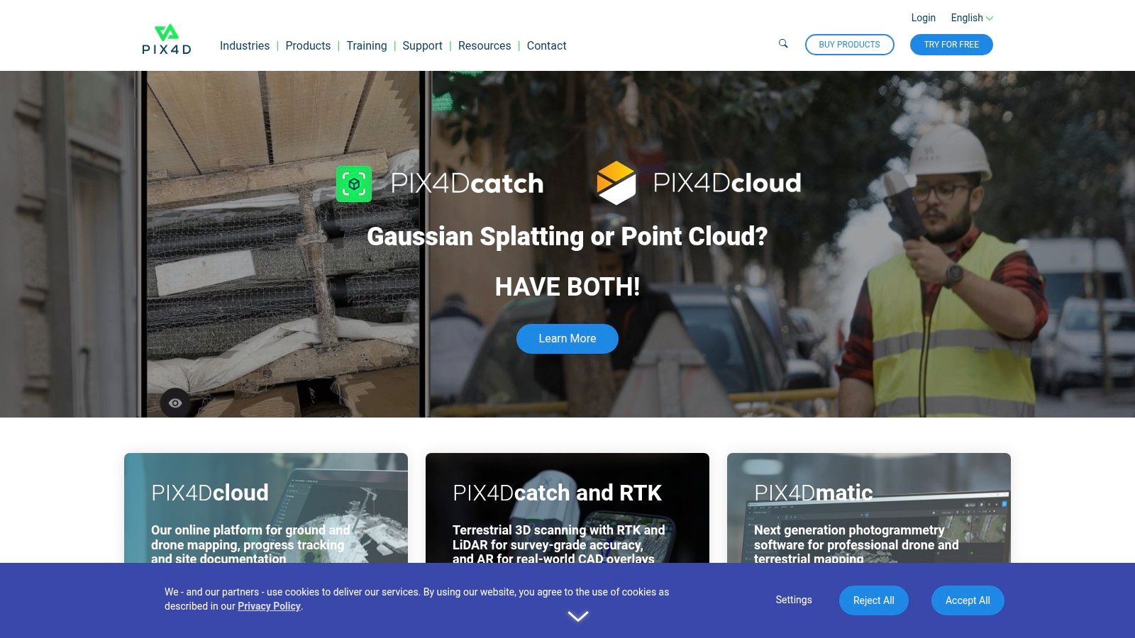
1. Pix4Dmapper
Pix4Dmapper is a leading photogrammetry software for drones, renowned for its professional capabilities and robust feature set. It empowers users to transform ordinary drone imagery into highly accurate 2D maps, detailed 3D models, and precise point clouds. This makes it an invaluable tool across various industries, including construction, agriculture, surveying, and inspection. Its automated workflows streamline the processing pipeline, and its broad compatibility with diverse drone platforms and cameras ensures accessibility for a wide range of users. Whether you're a surveyor mapping a construction site or an agronomist analyzing crop health, Pix4Dmapper provides the tools needed to extract meaningful insights from aerial data. Its reputation for precision and comprehensive outputs makes it a top choice for professionals demanding reliable results.
One of Pix4Dmapper's key strengths lies in its automated processing capabilities. Users can effortlessly convert raw drone images into usable outputs with minimal manual intervention. This significantly reduces processing time and allows professionals to focus on analyzing the data rather than getting bogged down in complex workflows. High-precision georeferencing and ground control point (GCP) integration further enhance the accuracy of the generated models and maps, ensuring that measurements and analyses are reliable and trustworthy. This level of precision is crucial for engineering projects, land surveys, and other applications where accurate data is paramount.
Pix4Dmapper supports a variety of output formats, including orthomosaics, Digital Surface Models (DSM), Digital Terrain Models (DTM), and point clouds, catering to diverse project requirements. The Ray Cloud visualization feature allows users to assess the quality of their data and identify potential issues before generating final outputs. This quality control step is essential for ensuring the reliability and accuracy of the final products. Furthermore, seamless integration with major CAD and GIS software allows for smooth data transfer and further analysis within existing workflows, making Pix4Dmapper a versatile tool within a larger geospatial ecosystem.
For those looking to delve deeper into the technical aspects of drone image capture and how it relates to photogrammetry, resources like Learn more about Pix4Dmapper can provide valuable insights into drone sensors and camera capabilities. Understanding these foundational elements can greatly enhance the quality and accuracy of the data captured for processing in Pix4Dmapper.
While Pix4Dmapper offers numerous advantages, it's important to acknowledge its limitations. The software comes with a high price tag for professional licenses, which can be a barrier to entry for some users, particularly hobbyists or smaller businesses. The software also has a steep learning curve for beginners, requiring time and effort to master its functionalities. Additionally, processing large datasets can be demanding on hardware resources, necessitating a powerful computer for optimal performance. The limited functionality available in the free trial version can also hinder thorough exploration of the software's capabilities before committing to a purchase.
However, for professionals seeking industry-leading accuracy and reliability in photogrammetry software for drones, Pix4Dmapper is often considered a worthwhile investment. The comprehensive training materials and support provided by Pix4D help users navigate the software and maximize its potential. The extensive file format compatibility ensures seamless integration with existing workflows, while the professional-grade outputs are suitable for demanding engineering and surveying projects. Despite its cost and complexity, Pix4Dmapper remains a powerful tool for professionals seeking to extract accurate and actionable insights from drone imagery. You can explore Pix4Dmapper further and find detailed pricing information on their website: https://www.pix4d.com/.
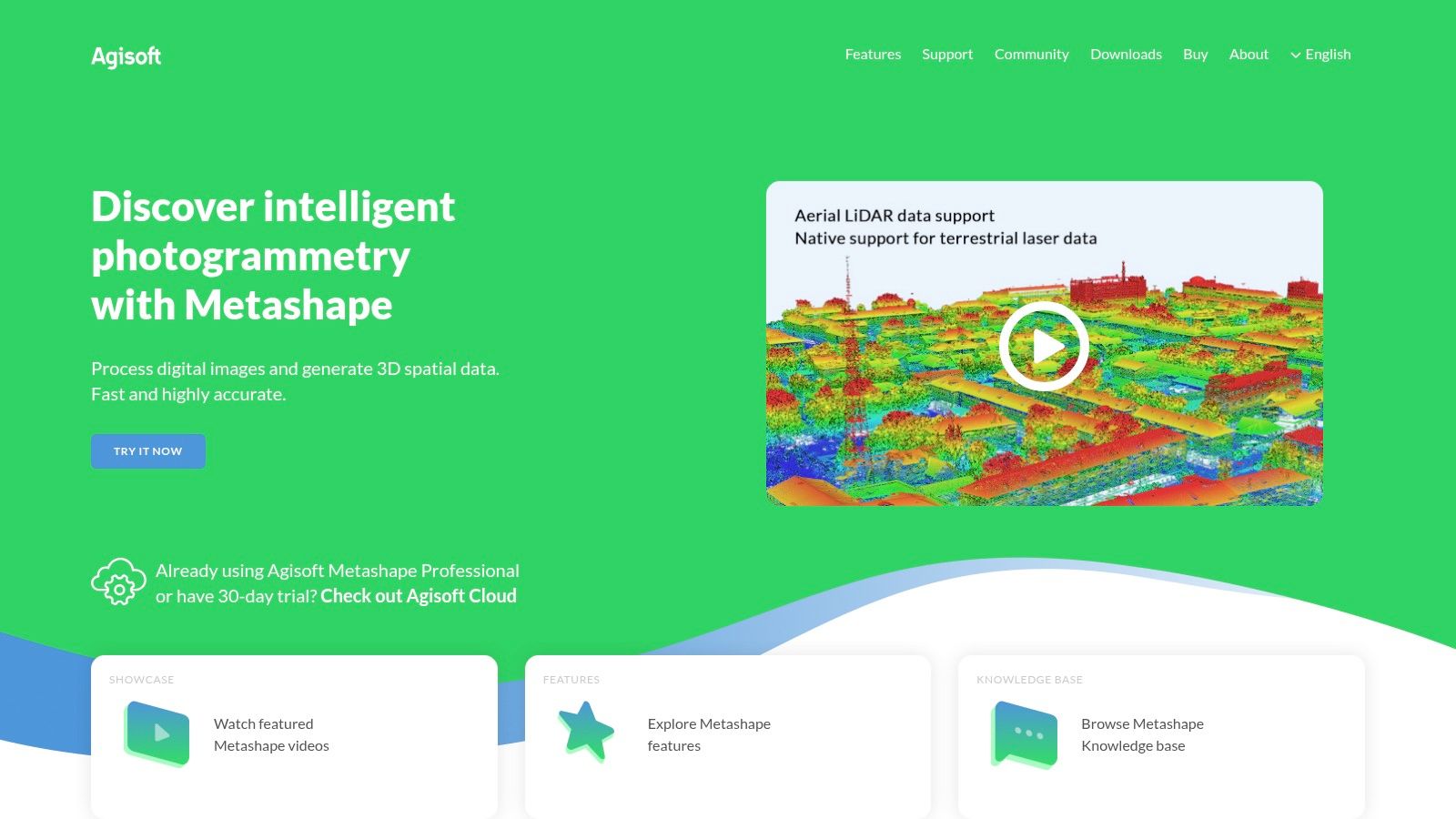
2. Agisoft Metashape
Agisoft Metashape is a robust photogrammetry software solution widely recognized for its ability to transform drone imagery into high-quality 3D models. Formerly known as PhotoScan, Metashape has become a staple for professionals in various fields, including surveying, archaeology, cultural heritage preservation, and even visual effects, thanks to its powerful algorithms and capacity to process extensive datasets captured during drone surveys. Its versatility and precision make it an excellent choice for anyone looking to leverage the power of photogrammetry with their drone. Whether you're a hobbyist mapping your local park or a commercial operator surveying a construction site, Metashape offers the tools to generate impressive and accurate 3D representations of the world. This software deserves its place on this list due to its comprehensive feature set, proven track record, and active community support.
One of Metashape's key strengths is its ability to handle complex image alignment and generate dense point clouds, forming the foundation for detailed 3D models. From these point clouds, the software can create textured meshes, resulting in realistic representations of the captured scene. This capability is crucial for applications such as creating digital twins of buildings, generating elevation models of terrain, and even reconstructing archaeological sites. Furthermore, Metashape supports both aerial and terrestrial photography, broadening its application beyond drone-based projects.
For drone enthusiasts specifically, Metashape offers valuable features like batch processing and Python scripting, enabling automation of repetitive tasks. Imagine processing hundreds of images from a drone survey with just a few clicks. This automation significantly reduces processing time and allows users to focus on analyzing the results rather than managing tedious workflows. Moreover, the software's support for multi-spectral image processing opens doors for applications in precision agriculture, allowing users to analyze crop health and other vital information from drone-captured multi-spectral data.
Agisoft offers flexible licensing options, including perpetual licenses and subscriptions, catering to various budgets and needs. They also provide educational discounts, making the software more accessible to students and researchers. While pricing information is available on their website, it’s worth noting that different license types unlock different feature sets, so it’s essential to choose the one that best aligns with your project requirements. In terms of technical requirements, Metashape is compatible with both Windows and macOS, and while a powerful computer with a dedicated graphics card is recommended for optimal performance, the software can run on more modest hardware configurations, albeit with potentially longer processing times.
Compared to other photogrammetry software solutions, such as Pix4Dmapper and RealityCapture, Metashape often stands out for its excellent reconstruction quality and detail, particularly in challenging lighting conditions. However, this power comes with a steeper learning curve. The interface can be overwhelming for beginners, and achieving optimal results often requires some technical expertise. Furthermore, processing times can be lengthy for large datasets, and real-time collaboration features are somewhat limited. Fortunately, a strong community and extensive documentation are available to help users navigate the software and troubleshoot any issues.
For those getting started with Agisoft Metashape for drone photogrammetry, here are a few implementation tips:
Plan your flight path: Ensure sufficient image overlap (70-80% front and side overlap) for accurate reconstruction.
Use ground control points (GCPs) for enhanced accuracy: GCPs are precisely measured points on the ground that provide real-world coordinates to anchor your 3D model.
Optimize camera settings: Shoot in RAW format for maximum image quality and control during processing.
Start with a smaller dataset: Familiarize yourself with the software's workflow and settings before tackling large projects.
By carefully considering these aspects and leveraging the resources available, users can harness the power of Agisoft Metashape to create stunning and accurate 3D models from their drone imagery. You can find more information and download the software from the official website: https://www.agisoft.com/
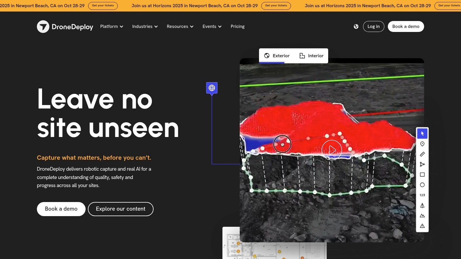
3. DroneDeploy
DroneDeploy is a leading cloud-based photogrammetry software for drones, offering a comprehensive suite of tools for planning, executing, and analyzing drone flights. From automated flight planning to real-time map generation and detailed data analysis, DroneDeploy streamlines the entire drone mapping workflow. This makes it an attractive option for a wide range of users, from hobbyists experimenting with aerial photography to professionals in industries like construction, agriculture, and mining. Its user-friendly interface makes it accessible even to beginners in the field of photogrammetry, while its powerful features provide valuable insights for experienced drone operators. This combination of ease of use and advanced capabilities earns DroneDeploy a well-deserved spot on this list of best photogrammetry software for drones.
One of DroneDeploy's key strengths lies in its automated flight planning. Users can easily define the area they want to map, and the software automatically generates an optimized flight plan, taking into account factors like altitude, overlap, and flight speed. This simplifies the flight process significantly, reducing the risk of errors and ensuring consistent data acquisition. Furthermore, DroneDeploy allows for real-time map generation during flight, providing immediate feedback on the captured data. This feature is particularly valuable for time-sensitive applications, such as monitoring crop health or inspecting construction sites. Data is then seamlessly uploaded to the cloud for processing and storage, eliminating the need for powerful local computers. The platform also offers a robust mobile app, facilitating field operations and providing on-site access to maps and data.
DroneDeploy’s cloud-based processing capabilities are another major advantage. The software leverages powerful cloud servers to process the captured imagery and generate high-resolution orthomosaics, 3D models, and point clouds. This significantly reduces processing time compared to desktop solutions, allowing users to access their data quickly and efficiently. Furthermore, the cloud platform simplifies data management and sharing, enabling seamless collaboration between team members. Integrating with business software and APIs further enhances DroneDeploy’s versatility, allowing users to seamlessly incorporate drone data into their existing workflows. Learn more about DroneDeploy to understand its comprehensive features and benefits.
While DroneDeploy offers a compelling suite of tools for drone photogrammetry, it's important to consider its limitations. The software operates on a subscription-based pricing model, which can become expensive for long-term use, especially for smaller businesses or individual users. While several plans cater to various needs, evaluating your budget and required features is crucial. Additionally, while the automated features simplify the workflow, they also offer less control over processing parameters compared to more advanced desktop photogrammetry software. The reliance on an internet connection for most features can also be a drawback, especially in remote areas with limited connectivity. Finally, while DroneDeploy offers several integrations, customization options are less extensive than those provided by some desktop solutions.
For users seeking a user-friendly, cloud-based solution for drone photogrammetry, DroneDeploy is an excellent choice. Its automated features, real-time mapping capabilities, and fast processing times simplify the entire workflow. However, users requiring fine-grained control over processing parameters or operating in offline environments may need to consider alternative solutions. Before committing to a subscription, consider your budget, project requirements, and desired level of control over the photogrammetry process. This will ensure you choose the right photogrammetry software for your drone mapping needs. You should also check system requirements on their website, which may change over time. They usually include a compatible drone, a mobile device, and a stable internet connection. Implementation is typically straightforward, involving creating an account, connecting your drone, and planning your flight through the user-friendly interface.
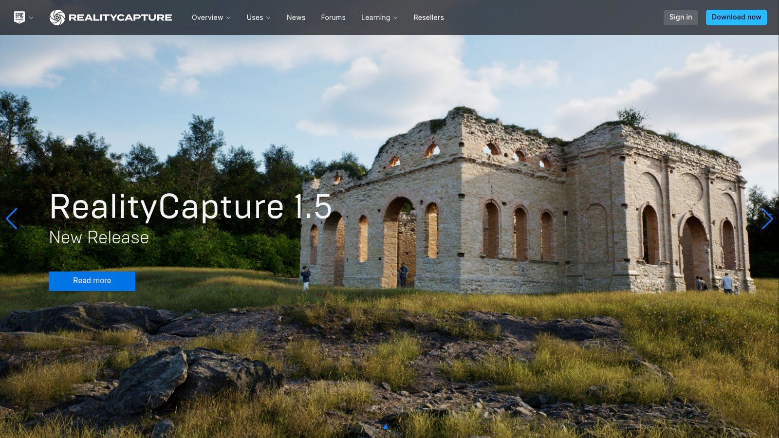
4. Reality Capture
Reality Capture by Capturing Reality (now part of Epic Games) stands out as a premier photogrammetry software solution, especially for those working with drone imagery. Its reputation is built upon its blazing-fast processing speeds and the exceptional quality of its 3D reconstructions. This makes it a powerful tool for professionals looking to transform drone photos into highly detailed 3D models. Its ability to efficiently handle thousands of images, even datasets so massive they would cripple other software, makes it a top contender in the field of photogrammetry software for drones. This capability is crucial for large-scale drone mapping projects, where datasets can quickly become unwieldy. Reality Capture finds applications across diverse fields, including gaming, film, architecture, and heritage preservation, demonstrating its versatility and power.
One of the key strengths of Reality Capture is its speed. Leveraging advanced algorithms and optimized processing pipelines, it can churn through datasets significantly faster than many competitors. This speed translates directly into time saved, allowing professionals to iterate quickly and meet tight deadlines. Imagine processing a complex dataset from a drone survey in hours instead of days; Reality Capture makes this a reality. Its automatic reconstruction feature further streamlines the workflow, minimizing manual intervention and ensuring a smooth and efficient processing experience. Learn more about Reality Capture and its impact on industries utilizing drone technology. The ability to handle an unlimited number of input images makes it particularly well-suited for drone photogrammetry, where hundreds or even thousands of overlapping images are often necessary to create a detailed 3D model.
Reality Capture doesn't just prioritize speed; it also delivers impressive quality. Its advanced meshing and texturing capabilities produce highly detailed and realistic 3D models. This is particularly important in fields like architecture and heritage preservation, where accurate and visually appealing models are essential. The software also supports the integration of laser scan data, which can further enhance the accuracy and detail of the final 3D model, making it a versatile tool for professionals working with multiple data sources.
While Reality Capture offers impressive features and performance, it's important to consider its pricing and technical requirements. Reality Capture uses a scalable licensing model, including a pay-per-input image option. This can be advantageous for occasional users who don't want to commit to a hefty subscription. However, for frequent users undertaking large projects, the costs can accumulate quickly. While the software can handle massive datasets, it requires a correspondingly powerful computer with ample RAM and processing power to run smoothly. Users should ensure their hardware meets the recommended specifications to avoid performance issues. One potential downside is that while Reality Capture excels in many areas, it is less specialized for surveying applications compared to some dedicated surveying software packages.
Implementing Reality Capture for drone photogrammetry is relatively straightforward. After capturing overlapping images with your drone, you import them into the software. The automatic reconstruction feature then takes over, creating an initial 3D model. From there, you can refine the model using the software's various tools, adjusting mesh settings, applying textures, and integrating laser scan data if available. While the basic workflow is intuitive, mastering the advanced features may require some time and effort due to a steeper learning curve. Additionally, Reality Capture offers limited flight planning capabilities compared to dedicated drone mapping software, meaning users often need to utilize separate flight planning tools to ensure optimal image acquisition for their photogrammetry projects.
In comparison to other photogrammetry software options like Pix4D or Metashape, Reality Capture distinguishes itself with its speed and capacity for handling large datasets. While Pix4D and Metashape offer more robust features specifically for drone mapping and surveying, they may not match Reality Capture's processing speed, particularly for extremely large datasets. This makes Reality Capture a valuable tool for professionals who prioritize speed and require the ability to handle immense projects, even if it means sacrificing some specialized features found in other software. For those seeking the fastest processing speeds and highest-quality 3D reconstructions from their drone imagery, Reality Capture is certainly worth considering.
5. Bentley ContextCapture
Bentley ContextCapture stands out as a leading photogrammetry software option, particularly for professionals involved in large-scale infrastructure projects. While it might be overkill for hobbyists looking to create 3D models of their backyard, its robust feature set and integration with Bentley's engineering software ecosystem make it a powerhouse for generating highly accurate 3D models from drone imagery. This positions ContextCapture as an indispensable tool for applications within civil engineering, construction, and infrastructure management, allowing users to create precise digital twins of real-world assets. If your drone work involves complex engineering projects and demands pinpoint accuracy, ContextCapture deserves serious consideration.

ContextCapture shines in its ability to handle massive datasets captured by drones, creating detailed 3D reality meshes, point clouds, and orthophotos. This is crucial for large infrastructure projects like bridges, highways, and power plants, where accurate digital representations are essential for planning, design, construction, and ongoing maintenance. Imagine needing to inspect a sprawling wind farm or monitor the structural integrity of a lengthy bridge; ContextCapture enables the creation of a highly detailed 3D model that engineers can analyze remotely, identifying potential issues before they become critical. This capability significantly enhances workflows, reducing on-site inspection time and improving overall project efficiency.
The software's advanced mesh optimization and editing tools provide users with fine-grained control over the final 3D model. This allows for the creation of clean, professional-grade models suitable for presentations, simulations, and integration into other engineering software. The support for various coordinate systems and projections ensures seamless compatibility with existing geospatial data and CAD models, further streamlining the engineering workflow. ContextCapture distinguishes itself from more basic photogrammetry software through its dedicated focus on engineering-grade precision and its comprehensive project management capabilities. While software like Pix4D or Metashape might suffice for smaller mapping projects or creating visually appealing 3D models, ContextCapture takes it a step further by providing the tools and accuracy required for complex engineering analysis and design.
One major advantage of ContextCapture is its tight integration with Bentley's broader engineering software suite. This allows for a seamless transition from reality capture to design and analysis, enhancing interoperability and reducing data silos. For example, a 3D model generated in ContextCapture can be directly imported into Bentley's OpenRoads Designer for road design or into STAAD.Pro for structural analysis. This streamlined workflow eliminates the need for data conversions or manual import/export processes, saving significant time and reducing the risk of errors.
While ContextCapture offers compelling features and performance, it's crucial to be aware of its limitations. The software comes with a hefty enterprise-level price tag, making it inaccessible to most hobbyists and smaller businesses. Its complex interface requires extensive training to master, and its feature-rich environment can be overwhelming for users unfamiliar with advanced photogrammetry concepts. For simple mapping projects, ContextCapture would be considered overkill, and more affordable, user-friendly options would likely be a better fit. Additionally, trial options are limited, making it challenging to thoroughly evaluate the software before committing to a purchase. Potential users should carefully consider their project requirements, budget, and technical expertise before investing in ContextCapture. Information on pricing and specific technical requirements isn't readily available on the website and often requires contacting Bentley directly for a personalized quote.
If your work revolves around large-scale infrastructure projects and demands high-precision 3D modeling integrated with a comprehensive engineering workflow, then Bentley ContextCapture (https://www.bentley.com/software/contextcapture/) might be the ideal photogrammetry software for your drone program. Its power and precision justify the investment for those who need the best in class for demanding engineering applications.
6. WebODM
WebODM (Web OpenDroneMap) stands out as a powerful and versatile open-source photogrammetry software solution specifically designed for processing drone imagery. Built upon the robust OpenDroneMap platform, WebODM empowers users to transform raw drone photos into highly detailed maps, 3D models, and point clouds. Its user-friendly web interface makes it accessible to a wide range of users, from hobbyists experimenting with drone mapping to professionals seeking a cost-effective yet powerful photogrammetry tool. This accessibility, combined with its open-source nature, makes it a particularly attractive option for researchers, educators, and budget-conscious users who require professional-grade photogrammetry capabilities without the burden of licensing costs. It's a compelling alternative to commercial photogrammetry software, offering comparable functionality with the added benefits of community support and customization.
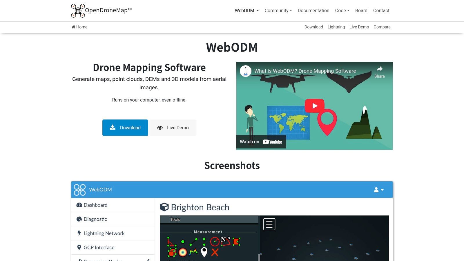
One of the key strengths of WebODM lies in its comprehensive open-source photogrammetry pipeline. This means that the entire process, from image upload and processing to output generation, is managed within a single, integrated platform. Its web-based interface provides the flexibility to access and manage projects from any browser, regardless of the operating system. This cross-platform compatibility simplifies workflows and allows for collaboration across different devices and locations. WebODM supports a variety of output formats, including orthophotos, digital surface models (DSMs), digital terrain models (DTMs), and 3D textured meshes, catering to diverse project requirements. Moreover, it supports various coordinate systems, ensuring accurate georeferencing and compatibility with other GIS software.
WebODM’s plugin system allows users to expand its functionality by integrating additional tools and features. This extensibility makes it adaptable to specific project needs and allows users to tailor the software to their workflows. For instance, plugins can be used to automate specific processing steps, generate customized reports, or integrate with other software platforms. The Docker-based deployment simplifies the installation process, reducing potential compatibility issues and streamlining setup across various operating systems.
For those looking to delve deeper into the intricacies of drone mapping and achieve optimal results with their aerial surveys, learn more about WebODM and best practices for accurate data acquisition. These resources can provide valuable insights into planning flight paths, optimizing camera settings, and ensuring data quality for precise 3D reconstructions.
While WebODM offers a compelling free and open-source alternative to commercial photogrammetry software, it’s important to consider its potential drawbacks. Setting up and optimizing WebODM for optimal performance may require a certain level of technical expertise, particularly for configuring the Docker environment and troubleshooting potential issues. While an active community provides support through forums and online resources, the level of official support is understandably less comprehensive than that offered by commercial software providers. Processing speed can also be a factor, as WebODM might be slower than commercial alternatives, especially when processing large datasets. Lastly, the user interface, while functional and constantly improving, may not be as polished or intuitive as some commercial software options.
Pros:
Completely free and open-source: Eliminates licensing costs and provides access to the source code for customization.
Active community development and support: Benefits from continuous improvements and assistance from a vibrant user community.
No licensing restrictions or usage limits: Offers unlimited processing capabilities and project sizes.
Customizable and extensible platform: Adapts to specific needs through plugins and custom configurations.
Cons:
Requires technical expertise for setup and optimization: May pose a challenge for users without prior experience with Docker and command-line interfaces.
Limited official support compared to commercial solutions: Relies primarily on community forums for troubleshooting and assistance.
Processing speed may be slower than commercial alternatives: Can be a limiting factor for large datasets or time-sensitive projects.
Interface less polished than commercial software: Might not offer the same level of user-friendliness as some commercial options.
Website: https://www.opendronemap.org/webodm/
WebODM’s robust functionality, coupled with its open-source nature and active community support, positions it as a valuable tool within the drone photogrammetry landscape. It provides a viable and cost-effective solution for users seeking professional-grade mapping and 3D modeling capabilities without the financial commitment of commercial software. While it may require some technical proficiency for initial setup and optimization, the benefits of customization, extensibility, and community engagement make WebODM a worthy contender in the realm of photogrammetry software for drones.
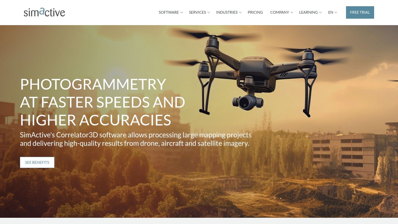
7. Correlator3D
Correlator3D by SimActive is a professional-grade photogrammetry software solution specifically designed for processing large-scale aerial imagery captured by drones and traditional aircraft. Its reputation is built on speed, accuracy, and the robust ability to handle massive datasets efficiently, making it a leading choice for demanding applications. This software shines in the hands of government agencies, surveying companies, and service providers who require the processing of significant volumes of imagery regularly. While it may not be tailored for the casual drone hobbyist, Correlator3D offers unparalleled performance for professionals seeking high-quality results from extensive aerial surveys. Its inclusion in this list is justified by its power and efficiency in handling complex photogrammetry projects.
One of Correlator3D's standout features is its exceptional processing speed. Optimized for large datasets, it significantly reduces the time required to generate accurate 3D models, orthomosaics, and digital surface models (DSMs). This efficiency is crucial for time-sensitive projects such as large-scale mapping, disaster response, and infrastructure inspection, where rapid data processing is paramount. Furthermore, Correlator3D boasts advanced automatic triangulation and bundle adjustment algorithms, ensuring high accuracy and geometric precision in the final outputs. This is particularly important for professionals in surveying, engineering, and construction who rely on precise measurements and data for their work. The software also seamlessly integrates digital surface model (DSM) and orthophoto generation, simplifying the workflow and delivering comprehensive results within a single platform.
Correlator3D supports a wide range of sensor types and platforms, from standard RGB cameras commonly used in drones to multispectral and LiDAR sensors employed in specialized aerial surveys. This versatility expands its applicability across diverse fields, including agriculture, forestry, and environmental monitoring. The integrated quality control and editing tools further enhance the workflow, allowing users to refine and validate their results directly within the software. This ensures the delivery of high-quality, accurate data for informed decision-making.
While Correlator3D excels in many aspects, it's essential to consider its drawbacks. The software comes with a significant price tag, making it a substantial investment, especially for smaller businesses or individual users. Pricing is based on specific project requirements and functionalities, so potential users need to contact SimActive directly for a tailored quote. The complex interface also demands specialized training, posing a learning curve for new users. While SimActive offers comprehensive training resources, mastering the software's full potential requires dedicated time and effort. Correlator3D's feature set primarily caters to aerial applications, with limited functionalities for other photogrammetry use cases, such as close-range object scanning or cultural heritage documentation. Therefore, users seeking a more versatile solution might consider exploring alternative software options.
For optimal implementation, users should ensure their hardware meets Correlator3D's system requirements, which include a powerful processor, ample RAM, and a dedicated graphics card, especially for processing large datasets. It's also advisable to invest in SimActive's training programs to maximize the software's potential and understand its advanced features thoroughly. Compared to other photogrammetry software options like Pix4Dmapper and Agisoft Metashape, Correlator3D distinguishes itself with its superior processing speed and capacity for massive datasets, making it a compelling choice for large-scale aerial mapping projects. However, users working with smaller projects or on a tighter budget might find Pix4Dmapper or Metashape more suitable due to their more accessible pricing and user-friendly interfaces.
In conclusion, Correlator3D is a powerful photogrammetry software for drones and other aerial platforms, designed for professionals who require high accuracy, speed, and efficiency in processing large datasets. While its complexity and cost might be a barrier for some, its performance justifies its position as a top-tier solution for demanding aerial photogrammetry projects. You can explore more details and request a quote on their website: https://www.simactive.com/.
8. Meshroom
Meshroom is a powerful, free, and open-source photogrammetry software perfectly suited for drone enthusiasts and professionals seeking a cost-effective way to generate 3D models from aerial imagery. Built upon the AliceVision framework, it offers a unique node-based workflow, providing a visual and intuitive approach to photogrammetry processing. While Meshroom might not be packed with specialized surveying tools like some commercial counterparts, its robust feature set, active development, and entirely free access make it a compelling alternative for creating high-quality 3D reconstructions from drone photos. Its popularity stems from the ability to deliver impressive results without the hefty price tag associated with proprietary software, making it an attractive option for hobbyists, independent researchers, and even some commercial applications where cost is a significant factor. Whether you're documenting archaeological sites, creating virtual tours of properties, or simply generating a 3D model of your neighborhood, Meshroom's flexibility and power make it a worthy addition to any drone pilot's toolkit.
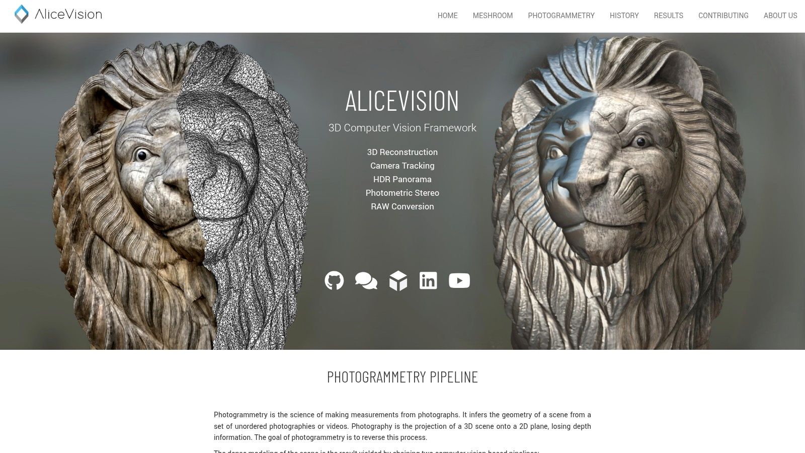
One of Meshroom’s defining features is its node-based visual pipeline. This system allows users to see the entire photogrammetry process laid out as interconnected nodes, each representing a specific stage of the reconstruction. This visualization simplifies understanding the workflow and allows for fine-tuning individual parameters, giving users greater control over the final output. From image import and feature detection to mesh generation and texturing, each step is clearly represented, making complex photogrammetry workflows more accessible, even for beginners. This intuitive approach sets Meshroom apart from traditional software with linear workflows, offering a more engaging and educational experience.
Meshroom’s capabilities extend from processing images to creating fully textured 3D meshes. This comprehensive approach eliminates the need to switch between different software packages throughout the reconstruction process. You can take your drone imagery directly into Meshroom, process it through the various stages, and ultimately export a complete 3D model ready for use in other applications. This streamlined workflow saves time and simplifies the overall 3D modeling process. Further enhancing its performance is GPU acceleration, leveraging the power of CUDA-compatible graphics cards to significantly speed up processing time. This is crucial for handling the large datasets often generated by drone photography, reducing wait times and allowing for faster iteration and refinement.
While Meshroom excels in general photogrammetry applications for drones, it's essential to understand its limitations. Compared to dedicated surveying and mapping software, it lacks advanced features such as georeferencing, ground control point (GCP) integration, and precise measurement tools. Therefore, Meshroom might be less suitable for highly accurate mapping projects requiring centimeter-level precision. Additionally, its reliance on powerful hardware, particularly a CUDA-compatible GPU, presents a barrier to entry for users with less capable systems.
Despite the absence of official technical support, Meshroom benefits from comprehensive documentation and a growing community of users who actively share tutorials and solutions. This readily available information makes it easier to troubleshoot problems and learn new techniques, compensating for the lack of direct support channels. Furthermore, its cross-platform compatibility (Windows, Linux, macOS) allows for flexibility in choosing your operating system. This open approach makes Meshroom accessible to a broader audience and fosters collaboration among users from diverse backgrounds.
For users seeking a free, open-source photogrammetry software for drones, Meshroom offers a compelling blend of power and accessibility. Its intuitive node-based interface, combined with its complete 3D reconstruction pipeline and GPU acceleration, makes it an excellent tool for exploring the world of 3D modeling from aerial imagery. While it may not rival the advanced features of commercial solutions designed for precision mapping, Meshroom's ongoing development, active community, and most importantly, its free availability, make it a valuable resource for anyone interested in turning drone photos into detailed 3D models. You can download Meshroom from https://alicevision.org/.
Photogrammetry Software Feature Comparison
Software | Core Features / Capabilities | User Experience & Quality ★★★★☆ | Value Proposition 💰 | Target Audience 👥 | Unique Selling Points / Highlights ✨ |
|---|---|---|---|---|---|
Pix4Dmapper | Automated photogrammetry, CAD/GIS integration | ★★★★☆ | 💰💰 High cost, professional-grade | Professionals in construction, agri, surveying | 🏆 Industry-leading accuracy, ground control |
Agisoft Metashape | Dense point cloud, mesh + texture mapping, multispectral | ★★★★☆ | 💰 Flexible licensing, educational discounts | Archaeology, surveying, cultural heritage | ✨ Advanced image alignment, batch Python scripting |
DroneDeploy | Cloud flight planning, real-time mapping, mobile app | ★★★★☆ | 💰 Subscription-based, fast results | Beginners, construction, agri, mining | 🏆 User-friendly, mobile-centric, cloud-based |
Reality Capture | Ultra-fast processing, handles unlimited images | ★★★★☆ | 💰 Pay-per-use option, high-end | Gaming, film, architecture, heritage | 🏆 Fastest processing, large dataset handling |
Bentley ContextCapture | Enterprise reality modeling, engineering integration | ★★★★☆ | 💰💰 Very expensive, enterprise-level | Civil engineering, infrastructure management | 🏆 Seamless Bentley integration, high precision |
WebODM | Open-source photogrammetry, web-based, plugin support | ★★★☆☆ | 💰 Free, open-source | Researchers, educators, budget users | ✨ Fully customizable, no licensing limits |
Correlator3D | Large dataset speed, advanced triangulation | ★★★★☆ | 💰 Expensive licensing | Government, surveying companies | 🏆 High speed & accuracy, strong support |
Meshroom | Node-based 3D reconstruction, GPU accelerated | ★★★☆☆ | 💰 Free, open-source | Drone hobbyists, 3D modeling enthusiasts | ✨ Intuitive node workflow, cross-platform |
Soaring to New Heights: Mastering Drone Photogrammetry
From hobbyist explorations to professional surveys, the power of drone photogrammetry is transforming how we capture and interact with the world. This guide has explored a range of leading photogrammetry software for drones, from industry giants like Pix4Dmapper and Agisoft Metashape to open-source solutions like WebODM and Meshroom. We've also looked at powerful options like DroneDeploy, RealityCapture, Bentley ContextCapture, and Correlator3D, each with its own strengths and weaknesses. The key takeaway is that choosing the right tool hinges on understanding your specific needs, whether it’s ease of use, processing power, specific output formats, or budget considerations.
Remember, successful drone photogrammetry involves more than just the software. Factors like image quality, flight planning, and ground control points significantly influence your final results. Take the time to master these elements, and you'll unlock the full potential of this incredible technology, creating stunning 3D models, accurate maps, and detailed point clouds.
Choosing the right photogrammetry software is a crucial step in maximizing the potential of your drone. By carefully considering the features, pros, and cons outlined in this guide, you can select the software that perfectly matches your project requirements and technical expertise. For ongoing support and expert insights regarding photogrammetry software for drones and other UAV-related topics, explore the comprehensive resources available at JAB Drone. Ready to take your drone operations to the next level? Visit JAB Drone for the latest news, reviews, and community discussions on everything drone related, including in-depth information on photogrammetry software and workflows.
Comments