Drone 3D Mapping: Revolutionize Industries with Aerial Tech
- A.E. Williams

- May 9, 2025
- 13 min read
Updated: May 10, 2025
Breaking Ground: The Drone 3D Mapping Revolution
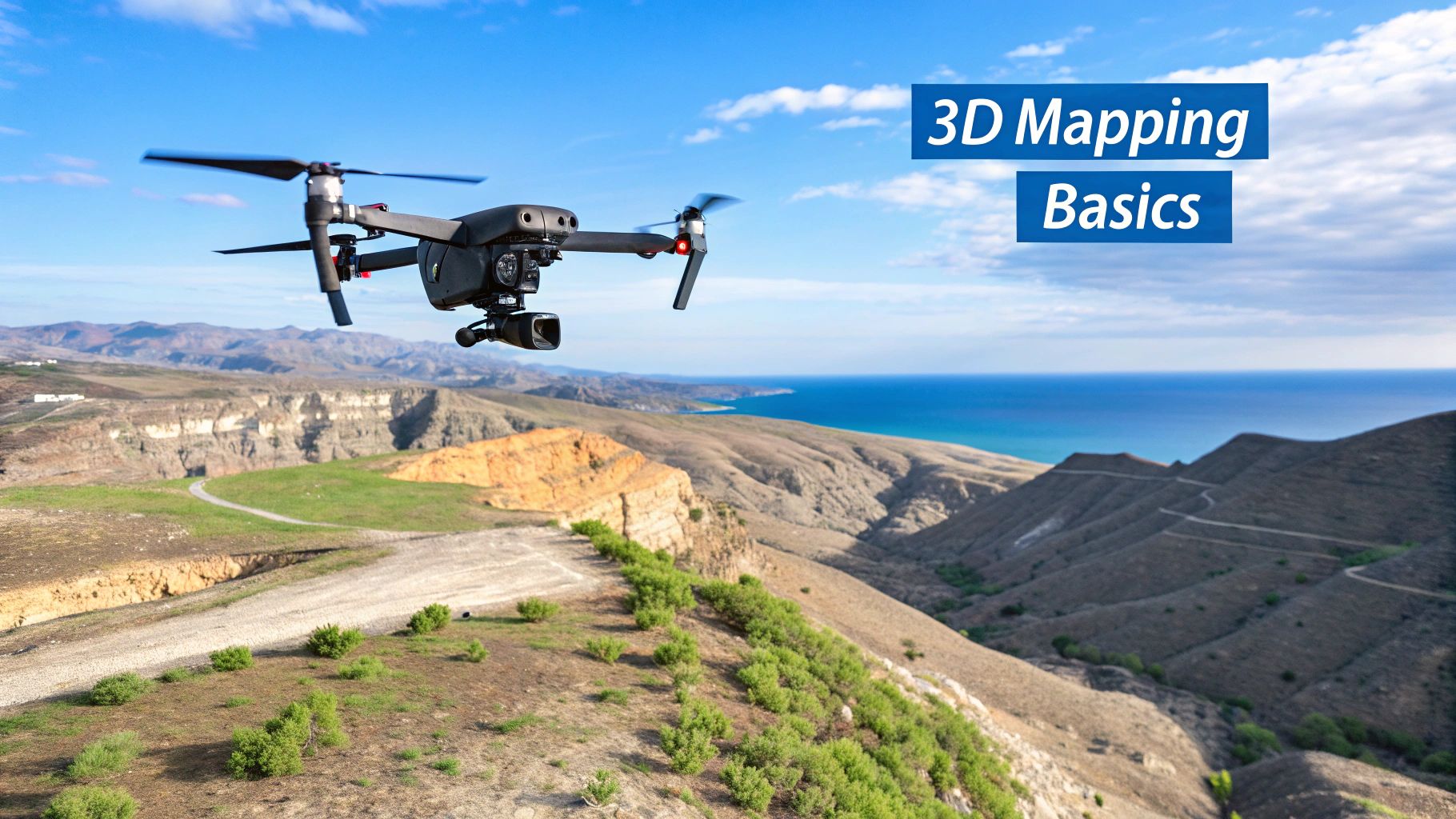
Drone 3D mapping is changing how we interact with the physical world. This technology provides highly accurate 3D models of landscapes, structures, and even entire cities. It offers a faster, safer, and more cost-effective alternative to traditional surveying methods across various industries. This revolution is powered by Unmanned Aerial Vehicles (UAVs) equipped with advanced sensors, transforming raw data into usable information.
Consider the challenges surveyors face when mapping a large construction site. Traditionally, this involved time-consuming ground surveys, often taking days or weeks. With drone 3D mapping, the same site can be surveyed in hours, significantly reducing project timelines and labor costs. Drone mapping also enhances site safety by removing surveyors from potentially hazardous environments. These advantages are why many companies are adopting drone-based mapping.
Understanding the Impact of Drone 3D Mapping
The benefits of drone 3D mapping go beyond speed and safety improvements. The detailed data collected provides a deeper understanding of the surveyed area, leading to more informed decisions. This detailed information has significant implications across diverse fields, from construction and agriculture to environmental monitoring and disaster response. In some projects, this detailed data translates to cost savings of up to 70%.
The drone industry's growth is closely tied to the increasing adoption of 3D mapping technologies. The global drone market is projected to reach $40.6 billion by 2025 and $57.8 billion by 2030, growing at a CAGR of 7.9%. This growth is driven by the rising demand for drone-based 3D mapping services in sectors like construction, agriculture, and surveying, improving data collection and analysis. Find more detailed statistics here In construction, for example, drone 3D mapping enables real-time site progress monitoring, leading to better project management and cost reduction. This widespread adoption indicates that drone 3D mapping is becoming essential for modern operations.
Key Applications of Drone 3D Mapping
The applications of drone 3D mapping are extensive and constantly evolving. Here are some key areas where this technology is making a significant impact:
Construction: Creating precise site surveys, monitoring progress, and calculating material volumes.
Agriculture: Analyzing crop health, optimizing irrigation, and assessing field conditions.
Infrastructure: Inspecting bridges, power lines, and pipelines for damage or needed maintenance.
Mining: Creating detailed maps of mines, monitoring extraction progress, and improving safety.
Environmental Monitoring: Tracking deforestation, assessing wildlife habitats, and monitoring pollution levels.
The ability to quickly and accurately capture 3D data using drones has opened new possibilities for understanding and managing our world. Drone 3D mapping is not only transforming current practices but also creating opportunities for innovative applications in the future. This exciting evolution makes it a field to watch closely in the years to come.
The Technology Powering Drone 3D Mapping Success
Drone 3D mapping relies on a network of interconnected technologies. From the sensors capturing data to the software processing it, each component is vital for transforming raw information into usable 3D models. Let's explore these key technologies and their role in successful drone 3D mapping.
Sensors: The Eyes of the Drone
A drone's sensors are its primary data collection tools. Choosing the right sensor is crucial for achieving your specific mapping goals. Here's a look at some common types:
RGB Sensors: These capture data in the visible light spectrum (red, green, and blue), much like a regular camera. They're excellent for creating visually accurate maps of landscapes and buildings.
Multispectral Sensors: These sensors go beyond visible light, capturing near-infrared and other wavelengths. This allows for analyzing vegetation health and identifying different materials, providing insights beyond human vision.
Thermal Sensors: These detect temperature variations, useful for identifying heat loss in buildings, finding anomalies in industrial equipment, or even locating wildlife.
LiDAR Sensors: Light Detection and Ranging (LiDAR) uses laser pulses to measure distances. This provides highly accurate 3D point cloud data, ideal for precise models of complex environments and seeing through vegetation.
Positioning Systems: Achieving Centimeter-Level Accuracy
Accurate positioning is essential for creating precise 3D maps. Real-Time Kinematic (RTK) and Post-Processed Kinematic (PPK) systems enhance GPS data, achieving centimeter-level accuracy. These systems use a base station with a known location to correct errors in the drone's GPS signal. This precision is key for applications like surveying and construction.
The infographic below visualizes differences in Mapping Accuracy (%), Average Coverage Area (ha) per flight, and Average Processing Time (hrs) for typical drone 3D mapping missions.

As shown, while higher accuracy might mean longer processing, the benefits are worthwhile for projects requiring precise data. Advances in drone technology, leading to expanded coverage areas, also significantly reduce project timelines.
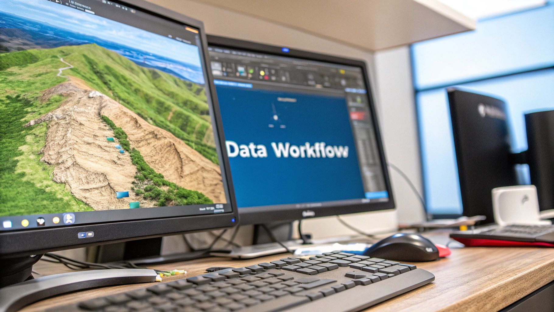
Processing Software: Transforming Data into 3D Models
The raw data collected by drone sensors is just the first step. Powerful processing software transforms this data into usable 3D models. These solutions use sophisticated algorithms, including photogrammetry (for RGB and multispectral data) and point cloud processing (for LiDAR data), to stitch images, create meshes, and generate detailed models. The 3D mapping and modeling market, including drone-based applications, is booming. Valued at approximately $7.12 billion in 2024, it's projected to reach $16.78 billion by 2030, with a CAGR of 16.2%. This growth is fueled by the adoption of 3D mapping in fields like architecture, engineering, and construction. You can read the full research here: https://www.grandviewresearch.com/industry-analysis/3d-mapping-3d-modeling-market
You can also explore our blog post sitemap for more on drone technology.
Combining Technologies for Optimal Results
Successful drone 3D mapping often involves combining these technologies strategically. For example, using RTK positioning with a LiDAR sensor can produce highly detailed and accurate 3D models of complex areas. Combining RGB and multispectral sensors can provide both visual and analytical information for applications like agricultural monitoring. Selecting the right combination of sensors, positioning systems, and processing software is key for achieving the best results for your specific project.
To better illustrate the different drone 3D mapping technologies available, the following table provides a comparison:
Drone 3D Mapping Technologies Comparison: This table compares the key technologies used in drone 3D mapping, highlighting their strengths, limitations, and best applications.
Technology | Accuracy | Range | Best Applications | Limitations | Cost Range |
|---|---|---|---|---|---|
RGB | Moderate (cm-level with GCPs) | Wide | Visual representations, orthomosaics, surface models | Lower accuracy than LiDAR, struggles with dense vegetation | Low to moderate |
Multispectral | Moderate | Wide | Agriculture, environmental monitoring, vegetation analysis | Lower spatial resolution than RGB, requires specialized processing | Moderate |
Thermal | Varies depending on sensor | Moderate | Inspections (roofing, power lines), search and rescue, wildlife monitoring | Lower spatial resolution, affected by weather conditions | Moderate to high |
LiDAR | High (mm-level) | Moderate | Precise 3D models, topographic surveys, infrastructure inspections | Higher cost, larger data files | High |
The table highlights the strengths and weaknesses of each technology, emphasizing the importance of selecting the right tool for the job. While LiDAR offers high accuracy, its cost might be prohibitive for some projects. RGB, while less accurate, offers a cost-effective solution for visual mapping.
Industry Transformations Through Drone 3D Mapping
Drone 3D mapping is changing how industries operate and gather information. From construction projects to environmental monitoring, this technology offers valuable insights and improves efficiency. Let's explore some real-world examples of how drone 3D mapping is making a difference.
Construction: Building the Future with Precision
Drone 3D mapping offers significant advantages in the construction industry. Project managers can now monitor progress remotely, significantly reducing the need for on-site visits. This leads to a substantial reduction in monitoring costs, sometimes by as much as 60%. The ability to generate accurate 3D models also allows for early problem detection, potentially weeks before traditional methods would identify them. This proactive approach helps avoid costly delays and rework.
Consider a large construction project covering several acres. Traditional surveying methods would require many people on-site to collect data. Drone 3D mapping, however, enables a single operator to map the entire area quickly and efficiently, producing a highly detailed 3D model. This model can then be used to track progress against the schedule, identify potential clashes between different trades, and even calculate material volumes precisely.
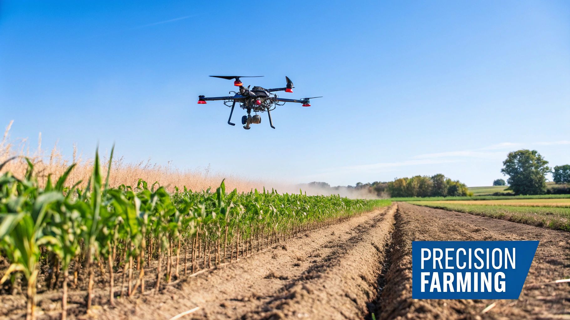
Agriculture: Cultivating Efficiency from Above
Drone 3D mapping is also transforming agriculture. Farmers are using multispectral mapping to analyze crop health and pinpoint areas needing attention. This precise targeting of resources like fertilizers and pesticides optimizes their use and minimizes environmental impact. By accurately assessing field conditions and optimizing irrigation, farmers have reported yield increases of up to 22%.
This technology is also vital for precision agriculture. Creating detailed field maps gives farmers a deeper understanding of their land's variability. This information helps optimize planting strategies, manage irrigation schedules, and ultimately maximize yields.
Mining: Extracting Value and Enhancing Safety
Mining operations benefit significantly from drone 3D mapping, gaining crucial information for improving efficiency and safety. By creating accurate 3D models of mines, operators can optimize extraction pathways and monitor stockpiles. This volumetric analysis helps maximize resource extraction and minimize waste. Drone mapping also reduces the need for personnel in hazardous areas, improving safety protocols and minimizing risk.
Regular drone surveys help identify potential hazards, such as slope instability or ground subsidence, allowing for proactive mitigation. This improved safety and efficiency translates to substantial cost savings and increased productivity. The integration of drones with 3D mapping technologies is especially prevalent in the Asia Pacific region, which is expected to drive growth in both the drone and 3D mapping markets. This region is projected to have the highest CAGR in the 3D mapping and modeling market due to increased adoption in countries like China, India, and Japan. In these rapidly developing markets, drones are widely used for urban planning, infrastructure development, and environmental monitoring. You can explore this topic further: 3D Mapping and Modeling Market.
Environmental Monitoring: Protecting Our Planet with Data
Environmental scientists increasingly use drone 3D mapping to track changes in ecosystems. By conducting repeated mapping efforts, they can monitor deforestation, assess the health of wildlife habitats, and even track shifts in coastlines. This ability to gather accurate data over time is essential for understanding the impact of climate change and developing effective conservation strategies.
Overcoming Adoption Challenges
While the benefits of drone 3D mapping are clear, some organizations face initial adoption challenges. These can include regulatory hurdles, the need for trained personnel, and the initial investment in hardware and software like Pix4D. However, many organizations have overcome these challenges by partnering with experienced drone service providers, investing in training programs, and developing clear implementation strategies. As the technology matures and costs decrease, these barriers are gradually diminishing.
Industry Benefits at a Glance
The following table summarizes the key benefits of drone 3D mapping across various industries:
Industry-Specific Benefits of Drone 3D Mapping This table presents key metrics and benefits of implementing drone 3D mapping across different industries
Industry | Time Savings | Cost Reduction | Accuracy Improvement | Key Applications | ROI Metrics |
|---|---|---|---|---|---|
Construction | Up to 70% | Up to 60% | Significantly improved | Site surveys, progress monitoring, volume calculations | Reduced labor costs, faster project completion |
Agriculture | Up to 50% | Up to 30% | Enhanced data resolution | Crop health analysis, precision agriculture, irrigation management | Increased yields, optimized input use |
Mining | Up to 80% | Up to 40% | Improved spatial accuracy | Volumetric analysis, safety monitoring, resource management | Increased productivity, enhanced safety |
Environmental Monitoring | Up to 60% | Up to 25% | More detailed data | Habitat assessment, deforestation tracking, change detection | Improved data analysis, effective conservation efforts |
These figures show that drone 3D mapping offers a compelling return on investment across various industries. Its continued adoption is set to reshape business operations in the years to come. You might be interested in: Our event page sitemap for upcoming workshops and webinars on drone technology.
From Planning to Production: Executing Flawless Mapping Missions
Creating accurate 3D maps with drones requires careful planning and precise execution. This guide walks you through a proven workflow, incorporating best practices from experienced drone pilots and mapping professionals. From initial site surveys to final product delivery, we'll explore the essential steps for achieving flawless results in your drone 3D mapping endeavors.
Pre-Flight Preparations: The Key to Success
A thorough pre-flight plan is the foundation of any successful mission. This involves a detailed site assessment to identify potential hurdles and optimize data acquisition strategies. Understanding the terrain, vegetation density, and the presence of reflective surfaces like water or glass is crucial. This pre-flight analysis informs decisions about flight paths and camera settings, preventing costly rework and ensuring efficient data collection.
Optimal ground control point (GCP) placement is vital for high accuracy in drone 3D mapping. These precisely measured points act as anchors, connecting the aerial imagery to real-world coordinates. Strategic GCP placement, taking into account terrain variations and the overall mapping area, maximizes data quality and ensures precise georeferencing of the final 3D model. Think of GCPs as the bedrock of a building, ensuring the entire structure is stable and properly aligned.
Flight Parameters and Data Acquisition
Calculating the correct flight parameters, including altitude, overlap, and flight speed, is essential for top-tier data quality. These parameters directly influence the resolution and accuracy of the 3D model. Higher altitudes cover more ground faster, but at the expense of resolution. Conversely, lower altitudes offer more detail but require longer flight times. Finding the right balance is key for efficient and effective data acquisition.
Addressing Real-World Challenges
Drone 3D mapping projects often face real-world obstacles. Reflective surfaces can distort data, and dense vegetation can obscure the ground below. Changing light conditions throughout the day can also affect image consistency. Experienced drone pilots use specific techniques to mitigate these issues. Polarized filters can reduce glare from reflective surfaces, while carefully timed flights can minimize harsh shadows and improve image quality.
Data Processing and Troubleshooting
After data acquisition, processing the imagery and sensor data is crucial for creating the final 3D model. This involves using specialized photogrammetry software that stitches images together to create a seamless representation of the surveyed area. Common processing issues, like blurry images or misaligned data, can occur. Troubleshooting requires technical expertise and a solid understanding of the software and data.
Maintaining Consistency and Compliance
For larger projects covering extensive areas or multiple flights, consistent data acquisition is paramount. This means using standardized procedures for flight planning, data capture, and processing. Following regulatory compliance guidelines is critical for legal operation and ensures the data meets industry standards. Checklists and established protocols help maintain consistency and compliance throughout the project.
Delivering Actionable Results
Delivering the final product in a usable format is the ultimate goal. This might be a 3D model, a point cloud, or an orthomosaic map, depending on the project’s needs. The deliverable should be accessible and easy to understand, offering actionable insights for stakeholders. For instance, a 3D model of a construction site allows for progress tracking, material volume calculations, and identification of potential problems. This transforms raw data into valuable information for informed decision-making.
Building Your Drone 3D Mapping Arsenal: Hardware and Software
Successfully implementing drone 3D mapping requires the right combination of hardware and software. This means choosing the correct drone platform, appropriate sensors, and software that seamlessly integrates to process the data. Let's explore this ecosystem to build a system that fits your project's specific needs.
Drone Platforms: From Consumer to Professional
The drone market offers a diverse range of platforms, each with varying capabilities and costs. Even consumer drones under $2,000 can produce impressive results for some mapping projects.
However, as project complexity and accuracy needs increase, investing in professional-grade drones becomes crucial. For instance, a consumer drone might suffice for mapping a small construction site's progress. But a large-scale surveying project requiring high accuracy demands a professional drone with RTK/PPK capabilities.
Cameras and Sensors: Capturing the Data
The camera is the most important component of a drone mapping system. Different camera specifications affect the quality and resolution of the final 3D model. Understanding these specifications is essential for making informed choices.
Resolution: Higher resolution means more detailed models.
Sensor Size: Larger sensors generally improve image quality, especially in low light.
Shutter Type: Mechanical shutters are best for minimizing image distortion during flight.
While RGB cameras are common for most mapping projects, LiDAR sensors offer significant advantages in certain situations. LiDAR can penetrate vegetation, making it ideal for mapping forests or creating accurate models of complex terrain. However, the higher cost of LiDAR systems requires careful budget consideration.
Processing Software: Bringing the Data to Life
Processing software turns the raw data from the drone's sensors into usable 3D models. Several factors influence the right software choice:
Processing Time: How quickly the software creates the final model impacts project timelines.
Output Quality: Different software varies in detail and accuracy.
Learning Curve: The software's ease of use affects how quickly your team can learn it.
Some software focuses on fast processing for quick turnaround times, while others prioritize high-resolution models for complex projects. Understanding these differences is crucial. You can check out JAB Drone's sitemap for detailed drone and software reviews.
Building a Scalable System
Building a drone 3D mapping system should consider future growth. Start with a core system meeting your current needs and plan for upgrades as your operations expand. This allows for gradual investment and maximizes your return on investment as your expertise and projects grow.
This might involve starting with a drone platform that can accommodate future sensor upgrades or choosing software with a scalable licensing model. This forward-thinking approach keeps your system current and avoids expensive overhauls. By understanding the different components and selecting the right tools, you can build a drone 3D mapping arsenal that delivers accurate and actionable data.
The Future of Drone 3D Mapping: What's Coming Next
Drone 3D mapping is a rapidly evolving field, with new technologies and applications constantly emerging. This continuous progress promises to reshape industries and unlock exciting new possibilities for data acquisition and analysis. Let's explore some key trends shaping the future of this dynamic technology.
AI and Machine Learning: Automating the Process
Artificial intelligence (AI) and machine learning are set to revolutionize drone 3D mapping by automating time-consuming tasks. Currently, a significant portion of data processing requires manual intervention. However, AI algorithms can be trained to automatically identify features, classify objects, and even track changes over time. This means that instead of manually tagging every tree in a survey area, AI can automate the process, freeing up human operators for more strategic work.
This automation significantly reduces processing time and boosts the efficiency of drone 3D mapping workflows. For instance, AI can automatically detect changes at a construction site by comparing 3D models from different dates, alerting project managers to potential problems. This allows for proactive intervention, preventing costly delays.
Edge Computing: Real-Time Insights in the Field
Edge computing brings processing power directly to the drone itself. This eliminates the need to transmit large amounts of data back to a central server for analysis. The drone can process data in real time, enabling it to make autonomous decisions in the field. Imagine a drone inspecting a power line and automatically identifying a damaged section. With edge computing, the drone can instantly alert maintenance crews, facilitating a swift response.
This shift from data collector to real-time analysis platform opens up exciting new applications. Drones can make informed decisions based on the data they are gathering, becoming more versatile and valuable tools.
Sensor Fusion: Unprecedented Insights Through Combined Data
Sensor fusion integrates data from multiple sensor types, providing a richer understanding of the surveyed environment. For example, combining data from RGB, LiDAR, and multispectral sensors can create a detailed visual model, offer precise measurements, and provide information about vegetation health—all simultaneously. This layered approach provides comprehensive insights, leading to more informed decision-making. Choosing the right drone mapping software is essential for handling data from these diverse sources.
Consider using sensor fusion to monitor a forest's health. RGB cameras capture visual details, LiDAR provides accurate measurements of tree heights and density, and multispectral sensors evaluate vegetation health. Combining this data offers a complete picture of the forest’s condition.
Evolving Regulations: Paving the Way for Innovation
As drone technology advances, regulations are adapting. Governments worldwide are developing frameworks to accommodate sophisticated applications like Beyond Visual Line of Sight (BVLOS) operations. These developments will broaden the possibilities of drone 3D mapping, allowing operations over larger areas and in more complex environments. You might be interested in: Our blog categories sitemap for more articles on drone regulations.
Positioning Your Organization for the Future
Staying ahead in drone 3D mapping requires careful planning and strategic investments. Organizations should determine which emerging technologies align with their goals. Investing in training programs and cultivating internal expertise is also vital for maximizing the benefits of these advancements. By embracing these emerging technologies and preparing for regulatory shifts, organizations can position themselves to capitalize on the future of drone 3D mapping.
Ready to enhance your aerial data acquisition and analysis? Explore the advanced drone solutions and expert insights available at JAB Drone and unlock the full potential of drone 3D mapping for your business.
Comments