Top Software for UAV in 2025 | Control & Flight Planning
- James Baptiste

- May 27, 2025
- 21 min read
Taking Off with the Right Software
Choosing the right software for UAV operations is essential for successful flights, whether you're a hobbyist or a professional. This listicle presents eight top software options for UAVs in 2025, covering everything from open-source platforms like ArduPilot and PX4 Autopilot to commercial solutions such as DJI FlightHub 2 and UgCS. These tools provide critical functionalities, from flight planning and autonomous navigation to data analysis and camera control. Discover which software for UAV best suits your needs by exploring the key features, pros, and cons of each option below.
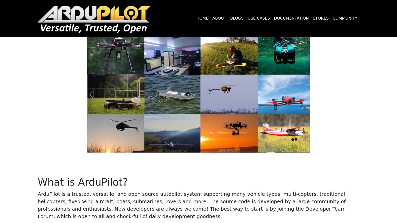
1. ArduPilot
ArduPilot stands as a leading open-source autopilot software suite, a cornerstone in the world of UAV technology. It caters to a diverse range of unmanned vehicles, encompassing planes, copters, rovers, boats, and even submarines. This versatility makes it a powerful tool for both hobbyists experimenting with DIY drone kits and professionals undertaking complex commercial and research applications. ArduPilot provides advanced flight control capabilities, offering a high degree of customization and flexibility, making it a popular choice for those seeking granular control over their UAV operations. This software empowers users to push the boundaries of autonomous flight and data acquisition, solidifying its position as a top contender in the "software for UAV" landscape. Whether you're a seasoned drone pilot or just starting out, understanding the capabilities of ArduPilot is essential for anyone serious about UAV technology.
One of ArduPilot's key strengths lies in its support for a multitude of vehicle types. From fixed-wing aircraft and multirotor copters to ground rovers, surface vessels, and underwater vehicles, ArduPilot provides a unified platform for controlling a diverse fleet. This multi-vehicle support is particularly beneficial for organizations and researchers working across various domains, streamlining workflows and reducing the need for multiple software solutions. For instance, a research team could utilize ArduPilot to manage both aerial data collection using a drone and ground-based sample retrieval with a rover, all within the same software ecosystem.
Advanced autonomous flight modes and mission planning capabilities further distinguish ArduPilot. Users can pre-program complex flight paths, define waypoints, and specify actions to be performed autonomously. This functionality is invaluable for applications such as aerial photography, surveying, and mapping, where precise and repeatable flight patterns are crucial. Imagine capturing stunning aerial footage of a vast landscape or conducting a detailed survey of a construction site – ArduPilot makes these complex tasks achievable with remarkable precision.
ArduPilot excels in its comprehensive sensor integration and failsafe systems. It supports a wide array of sensors, including GPS, IMUs, barometers, and airspeed sensors, allowing for precise navigation and data acquisition. Furthermore, its robust failsafe mechanisms ensure the safety of the UAV and its surroundings in the event of unforeseen circumstances, such as communication loss or hardware failure. This reliability makes ArduPilot a trusted choice for critical operations where safety is paramount.
Real-time telemetry and data logging are integral features of ArduPilot. Users can monitor critical flight parameters, sensor readings, and vehicle status in real-time through a ground control station. This real-time feedback allows for immediate adjustments and interventions if necessary. The comprehensive data logging functionality provides valuable insights for post-flight analysis, allowing users to review performance, identify potential issues, and optimize future missions.
While ArduPilot offers a plethora of advantages, it’s essential to be aware of its limitations. The software has a steep learning curve for beginners, requiring a certain level of technical knowledge for setup and configuration. The extensive documentation, while comprehensive, can be overwhelming for newcomers. If you're a beginner exploring building your own drone, you might find resources like this helpful: Learn more about ArduPilot. Additionally, commercial support options are limited, as it is an open-source project.
Despite these challenges, the benefits of ArduPilot's open-source nature, customizability, and broad hardware compatibility outweigh the drawbacks for many users. The active community provides valuable support and resources, ensuring continuous development and improvement. ArduPilot remains a powerful and versatile software for UAV applications, empowering users with the tools they need to innovate and explore the ever-expanding world of unmanned flight. It's a crucial tool in the arsenal of anyone serious about maximizing the potential of their UAVs, making it an essential inclusion in any list of top UAV software.
2. DJI FlightHub 2
DJI FlightHub 2 is a powerful cloud-based software solution designed to streamline and optimize UAV operations for both commercial and enterprise users. This software goes beyond simple flight control, offering a comprehensive suite of tools for mission planning, fleet management, real-time monitoring, and data analysis, making it a compelling option for anyone serious about leveraging drone technology. Whether you're managing a large fleet of drones for inspections or coordinating a single drone for aerial photography, FlightHub 2 brings a level of control and sophistication to your workflow that significantly enhances efficiency and safety. This software empowers users to plan, execute, and analyze drone missions with unprecedented ease and precision, making it a worthy contender in the list of top software for UAV operations.
One of the key strengths of DJI FlightHub 2 is its real-time situational awareness capabilities. Through live streaming and flight monitoring, operators can maintain constant visual contact with their drones and receive critical telemetry data such as altitude, speed, and battery life. This feature is invaluable for safety and allows for immediate adjustments during flight. Advanced mission planning tools, incorporating 2D/3D mapping, allow operators to pre-program complex flight paths with waypoints and actions. This is especially useful for applications like infrastructure inspections, surveying, and search and rescue, where precise and repeatable flight paths are crucial. Furthermore, FlightHub 2 promotes team collaboration through multi-user management, allowing multiple team members to access and contribute to mission planning, execution, and data analysis. This centralized platform streamlines communication and enhances coordination among team members, improving overall operational efficiency.
DJI FlightHub 2 also simplifies data management with its cloud-based storage and analysis tools. Collected data, including images and videos, is automatically uploaded and stored securely in the cloud, accessible from anywhere with an internet connection. This eliminates the need for manual data transfer and storage, reducing the risk of data loss and simplifying post-mission analysis. Furthermore, its seamless integration with the DJI enterprise drone ecosystem simplifies workflows for users already invested in DJI hardware.
While DJI FlightHub 2 offers significant advantages, it's important to be aware of its limitations. The platform is primarily designed for DJI drones, limiting its compatibility with other UAV platforms. This lock-in can be a constraint for users operating a mixed fleet of drones. Additionally, the subscription-based pricing model can be a significant investment, especially for smaller businesses or individual operators. The platform also requires a stable internet connection for full functionality, which might be a challenge in remote areas. Finally, while the interface is user-friendly, customization options are less extensive compared to some open-source alternatives. You might want to learn more about DJI FlightHub 2 to understand its capabilities in more detail.
Implementing DJI FlightHub 2 is relatively straightforward. After subscribing to a suitable plan, users can access the platform through a web browser or dedicated mobile app. Connecting DJI drones to the platform is a simple process, and the intuitive interface allows users to quickly familiarize themselves with the various features. Technical requirements are minimal, primarily revolving around a stable internet connection and a compatible device for accessing the platform. Specific pricing information is available on the DJI website, but it generally follows a tiered structure based on the number of drones and features required.
Compared to other drone operations management software, such as AirData or DroneDeploy, DJI FlightHub 2 distinguishes itself with its deep integration with DJI hardware, offering a seamless user experience for DJI drone operators. While other platforms might offer broader hardware compatibility, FlightHub 2 excels in its ease of use and optimized workflows within the DJI ecosystem. This software deserves its place on this list due to its comprehensive features, user-friendly interface, and focus on optimizing professional drone operations. From pre-flight planning to post-mission analysis, DJI FlightHub 2 provides a robust and efficient platform for maximizing the potential of your drone program. Visit the DJI FlightHub 2 website for more details and to explore the available subscription plans.
3. PX4 Autopilot
PX4 Autopilot stands out as a leading choice for those seeking professional-grade, open-source software for UAVs (Unmanned Aerial Vehicles). Designed for both research and development and demanding commercial applications, PX4 provides a robust flight stack packed with advanced control algorithms. This makes it suitable for a wide range of users, from hobbyists pushing the boundaries of DIY drone builds to commercial operators requiring reliable and adaptable flight control systems. It's a powerful option for anyone serious about getting the most out of their UAV platform.
One of the key strengths of PX4 lies in its modular software architecture, built on a microservices framework. This approach allows developers to easily customize and extend the functionality of the flight control system. Whether you're integrating cutting-edge sensors, developing custom flight modes, or experimenting with novel control algorithms, the modularity of PX4 offers the flexibility to adapt to specific needs. This is particularly valuable for research institutions and commercial operators who often require tailored solutions for their UAV applications. For example, a research team might use PX4's flexibility to integrate a LiDAR sensor for sophisticated mapping applications, while a delivery company might customize the system for autonomous package delivery.
PX4 excels in its advanced sensor fusion and state estimation capabilities. By effectively combining data from multiple sensors like GPS, IMU, and barometers, PX4 provides a highly accurate estimate of the drone's position, orientation, and velocity. This precise state estimation is crucial for stable and reliable flight, particularly in challenging environments or when performing complex maneuvers. Furthermore, PX4's integration with simulation environments like Gazebo and AirSim provides a safe and cost-effective platform for testing and refining control algorithms before deploying them on real hardware. This is invaluable for developers and researchers, enabling them to push the limits of UAV capabilities without risking costly crashes.
Compared to other open-source autopilot software like ArduPilot, PX4 boasts a more professional-grade codebase, meticulously developed and rigorously tested by a team of experienced engineers. This focus on quality and robustness makes PX4 a particularly attractive option for commercial applications where reliability and performance are paramount. While ArduPilot might be more user-friendly for beginners due to its simpler setup and larger community, PX4’s advanced capabilities and professional backing make it the preferred choice for those requiring more sophisticated control and customization options.
However, this power and flexibility come at a cost. PX4 requires a significant level of technical expertise to implement and configure effectively. The documentation, while comprehensive, can be quite technical and challenging for newcomers. The community, although smaller than ArduPilot's, is highly active and supportive, providing a valuable resource for those seeking assistance. Furthermore, PX4's hardware compatibility, though expanding, is not as extensive as some competitors. Choosing PX4 means investing time in learning the system and carefully selecting compatible hardware components.
Setting up PX4 typically involves selecting compatible hardware (flight controllers, sensors, etc.), flashing the PX4 firmware onto the flight controller, and configuring the system through the QGroundControl ground station software. This process requires some technical proficiency, including familiarity with command-line interfaces and basic software development concepts.
While PX4 itself is open-source and free to use, there might be costs associated with acquiring the necessary hardware components and development tools. The cost of these components can vary significantly depending on the specific requirements of the UAV platform.
PX4’s robust feature set, professional-grade codebase, and advanced capabilities make it a powerful software for UAV platforms. While the steeper learning curve and higher technical requirements may present a challenge for beginners, the flexibility, performance, and strong industry backing make PX4 a top choice for serious drone enthusiasts, researchers, and commercial operators seeking cutting-edge flight control solutions. Visit the official PX4 website (https://px4.io) for comprehensive documentation, community forums, and further information.
4. Mission Planner
Mission Planner is a powerful, free, and open-source ground control station (GCS) software specifically designed for ArduPilot-based unmanned aerial vehicles (UAVs). This robust software provides a comprehensive suite of tools for flight planning, monitoring, analysis, and vehicle configuration, making it a popular choice among hobbyists, professionals, and researchers working with UAVs, including software for UAV applications. Whether you're planning a complex aerial photography mission or conducting automated surveys, Mission Planner offers the features and flexibility to meet diverse operational needs.
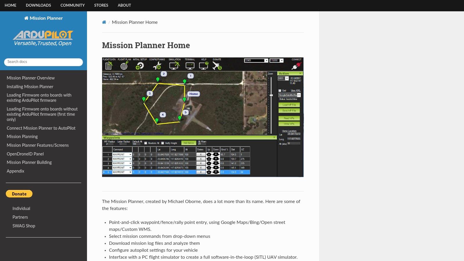
One of Mission Planner's key strengths lies in its advanced waypoint mission planning capabilities. Users can easily create and visualize complex flight paths in 3D, incorporating various actions such as camera triggers, speed adjustments, and altitude changes. The software allows for detailed customization of each waypoint, ensuring precise control over the UAV's flight trajectory. Real-time flight data monitoring is another crucial aspect of Mission Planner. Telemetry data, including GPS position, altitude, speed, battery voltage, and sensor readings, is displayed intuitively, allowing operators to maintain situational awareness throughout the flight. This real-time feedback is essential for safe and efficient UAV operations.
Beyond flight planning and monitoring, Mission Planner offers comprehensive parameter configuration and tuning tools. Users can access and adjust a wide range of ArduPilot parameters, fine-tuning the UAV's performance for specific missions or environments. This level of control allows for optimizing flight characteristics and adapting to different payload configurations. After completing a flight, Mission Planner's flight log analysis and replay capabilities provide valuable insights into the UAV's performance. Users can analyze detailed flight data, identify potential issues, and refine mission parameters for future flights. This feature is invaluable for optimizing efficiency, troubleshooting problems, and improving overall flight performance. For those looking to test missions in a safe environment, Mission Planner's built-in simulation mode offers a virtual testing ground. This allows operators to practice complex missions and evaluate flight plans without risking their UAV hardware.
While Mission Planner offers a compelling suite of features, it's important to be aware of some limitations. Currently, the software is primarily Windows-based, with limited cross-platform support. This can be a drawback for users on other operating systems. Additionally, the interface, while feature-rich, can be overwhelming for new users. A learning curve is involved in mastering the software's full potential. It's important to note that Mission Planner is specifically designed for ArduPilot-compatible autopilots, so it's not compatible with other flight controllers. Finally, performance issues can arise when working with very large missions involving numerous waypoints.
Despite these limitations, Mission Planner remains a leading choice for UAV ground control. Its comprehensive feature set, free and open-source nature, extensive documentation, and active community support make it an invaluable tool for anyone working with ArduPilot-based UAVs. The ongoing development and regular updates ensure that Mission Planner stays at the forefront of software for UAV operations. You can download Mission Planner directly from the ArduPilot website. Learn more about Mission Planner and other top flight planning software options to determine the best fit for your UAV needs. This comprehensive resource provides valuable insights into the latest software solutions available.
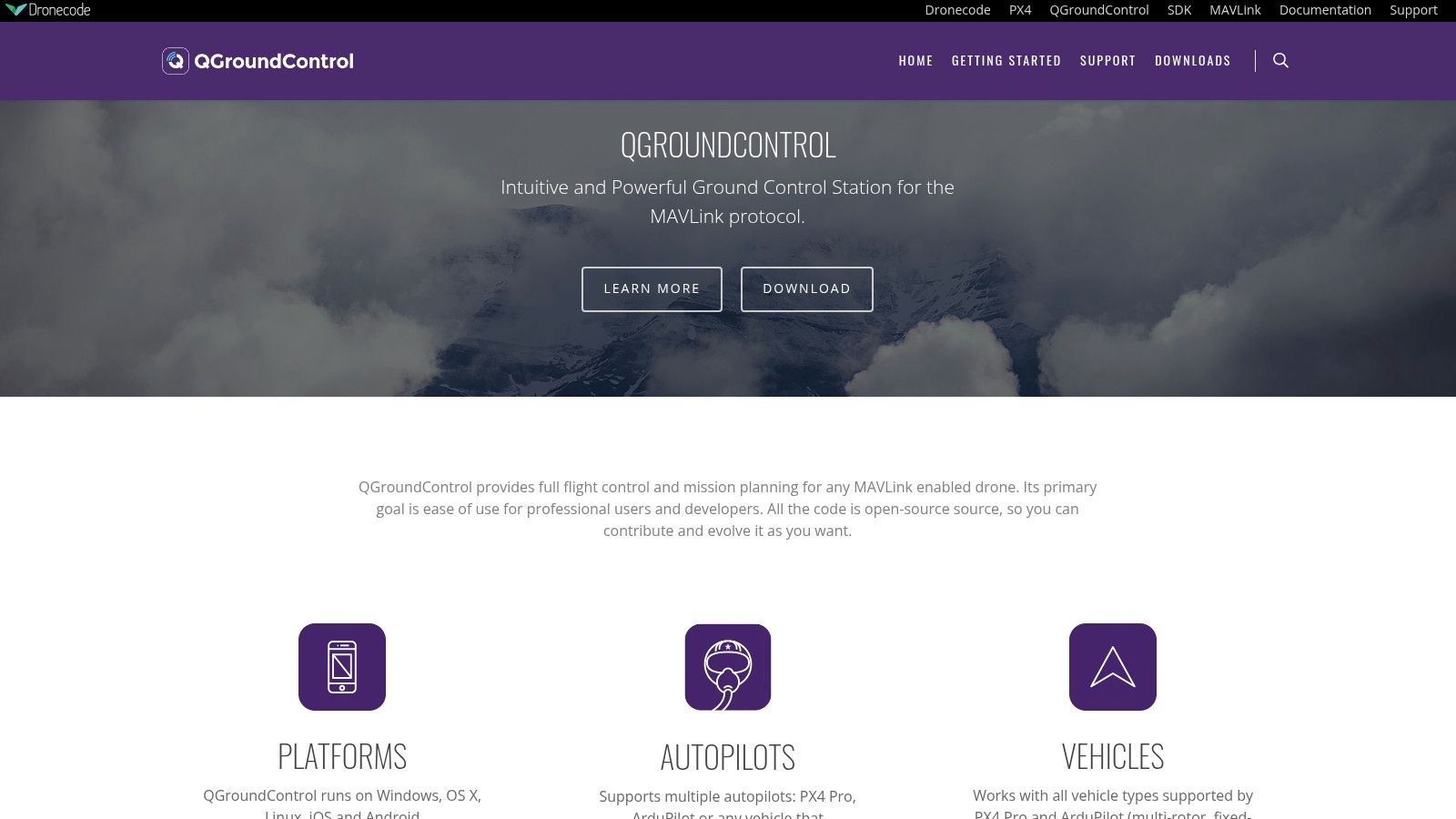
5. QGroundControl
QGroundControl is a powerful and versatile software for UAV control, offering a user-friendly platform for both beginners and experienced drone operators. Whether you're a hobbyist flying a small quadcopter or a professional managing a complex aerial photography mission, QGroundControl provides the tools necessary for successful UAV operation. It stands out amongst other software for UAV control due to its cross-platform compatibility, intuitive interface, and robust feature set that caters to a wide range of drone activities. This open-source software supports PX4 and ArduPilot powered vehicles, making it compatible with a large segment of the drone market. Its active development community ensures regular updates and improvements, keeping it at the forefront of drone software technology.
One of QGroundControl's strongest features is its intuitive mission planning interface. Using a simple drag-and-drop system, users can easily create complex flight paths with waypoints, defining actions such as taking photos, changing altitude, or adjusting camera settings at each point. This simplifies the process of automating flights for tasks like aerial mapping, surveillance, or agricultural monitoring. The software also provides real-time vehicle monitoring, displaying crucial flight data like battery level, GPS coordinates, altitude, and speed. This allows operators to maintain situational awareness and react quickly to any potential issues during flight. For those involved in aerial photography and videography, QGroundControl offers integrated video streaming and camera control. This feature provides a live view from the drone's camera, enabling precise framing and capturing of high-quality footage.
QGroundControl truly shines in its cross-platform compatibility. Available on Windows, Mac, Linux, Android, and iOS, it offers flexibility and accessibility for users across different devices. This is particularly beneficial for those who prefer to plan missions on a desktop computer and then execute them using a tablet or smartphone in the field. The software is free to download and use, making it an attractive option for budget-conscious users. While there are no paid tiers, donations are welcomed to support ongoing development. System requirements are relatively modest, with most modern computers and mobile devices capable of running the software smoothly. However, performance on mobile devices can vary depending on the specific device and the complexity of the mission being run.
Compared to similar tools like Mission Planner, QGroundControl excels in its modern and user-friendly interface design. It's generally considered easier to learn and navigate, making it an excellent choice for beginners. However, it's worth noting that Mission Planner offers more advanced features and customization options, which might appeal to experienced users looking for granular control over their UAVs. Another competitor, DJI Ground Station Pro, is tightly integrated with DJI drones and offers advanced features specifically tailored to those platforms, but it lacks the cross-platform flexibility of QGroundControl.
Setting up QGroundControl is relatively straightforward. After downloading the software from the official website (http://qgroundcontrol.com), installation follows a standard process depending on the operating system. Connecting to a drone involves selecting the appropriate communication port and following the on-screen prompts. The software includes helpful tutorials and documentation to guide users through the setup and operation process. A key implementation tip is to ensure that the drone's firmware is compatible with QGroundControl. Regularly updating both the software and the drone's firmware is crucial for optimal performance and stability.
While QGroundControl offers a compelling suite of features, it's important to be aware of some limitations. It offers fewer advanced features compared to Mission Planner, potentially restricting experienced users seeking highly specialized functionalities. Customization options are somewhat limited, and some features are still under development, meaning they might not be fully polished or stable. However, the active development community and regular updates address these limitations progressively.
Overall, QGroundControl is a valuable software for UAV operations, offering a powerful yet user-friendly platform for various drone activities. Its cross-platform compatibility, intuitive interface, and robust feature set make it an excellent choice for users of all skill levels, from beginners to experienced professionals.
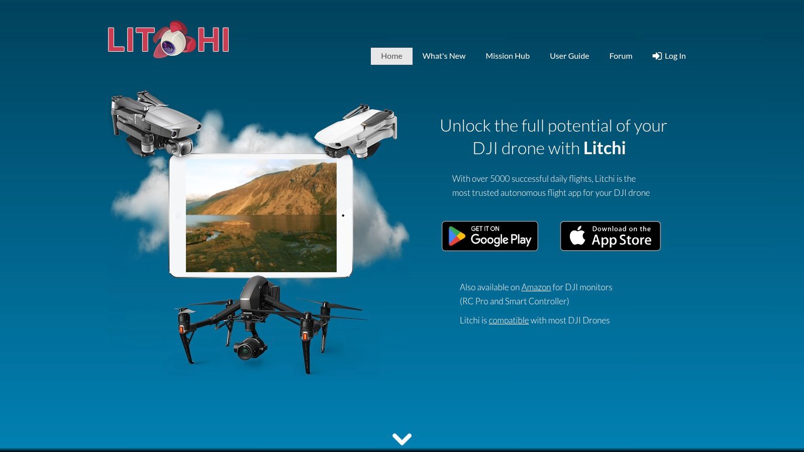
6. Litchi
Litchi stands out as a premium autonomous flight control app specifically designed for DJI drones, offering a comprehensive suite of tools that significantly expand upon the capabilities of standard DJI flight applications. It's a popular choice among serious drone enthusiasts and professionals seeking advanced mission planning and execution. This software empowers users to orchestrate complex flight paths, capture stunning panoramas, and experience immersive FPV flight, making it a powerful addition to any UAV pilot's toolkit. Whether you're a hobbyist looking to elevate your aerial photography or a commercial operator seeking precise flight control, Litchi offers a compelling blend of user-friendliness and advanced features.
One of Litchi's most compelling features is its advanced waypoint mission planning. Unlike basic flight apps, Litchi allows users to create complex flight paths with curved trajectories, offering greater control over the drone's movement and enabling cinematic shots previously difficult to achieve. This is particularly valuable for applications such as surveying, infrastructure inspection, and creating professional-grade aerial videos. Imagine smoothly orbiting a structure, following a winding road, or capturing a dramatic reveal shot of a landscape – all pre-programmed and executed autonomously by your drone thanks to Litchi’s intuitive interface.
Beyond waypoint missions, Litchi provides a variety of intelligent flight modes. "Follow me" mode allows the drone to autonomously track a moving subject, keeping them perfectly framed in the shot. "Orbit" mode enables the drone to circle a point of interest, providing dynamic 360-degree views. "Focus point" mode keeps the camera locked onto a specific location while the drone maneuvers freely, offering unparalleled flexibility for creative shots. These intelligent flight modes free up the pilot to focus on camera control and composition, resulting in more polished and professional footage.
For those seeking a truly immersive flying experience, Litchi offers compatibility with virtual reality headsets. This feature transforms the drone's camera feed into a first-person view (FPV) experience, allowing pilots to "see" through the drone's eyes and control its movements with intuitive head tracking. This functionality opens up exciting possibilities for exploring hard-to-reach areas, practicing advanced maneuvers, and capturing unique perspectives.
Litchi also simplifies the process of capturing stunning panoramas. Its built-in panorama feature automates the image capture and stitching process, eliminating the need for complex post-processing. This makes it incredibly easy to create high-resolution panoramic images of landscapes, cityscapes, and other expansive scenes. Furthermore, Litchi’s Mission Hub provides a platform for sharing and downloading flight plans, allowing users to learn from each other and discover new creative possibilities. This active community fosters collaboration and innovation within the drone community.
While Litchi offers a wealth of advantages, it's essential to be aware of its limitations. The software is currently only compatible with DJI drones, excluding users of other UAV platforms. The app is a one-time purchase, but it is relatively expensive compared to some free or subscription-based alternatives. Certain advanced features, such as map data for mission planning, require an internet connection. Finally, customer support options can be limited.
Despite these limitations, Litchi remains a compelling option for DJI drone users seeking advanced flight control and autonomous capabilities. The app is available for both iOS and Android devices. The price is a one-time purchase, typically around $25 USD. To get started with Litchi, simply download the app from the respective app store, connect your DJI drone, and familiarize yourself with the interface and features. It’s recommended to practice in a safe, open area before attempting complex missions. For more information and detailed tutorials, visit the official Litchi website: https://flylitchi.com. With its powerful mission planning tools, immersive FPV support, and intuitive interface, Litchi is an invaluable tool for anyone looking to unlock the full potential of their DJI drone, solidifying its place as a leading software solution for UAVs.
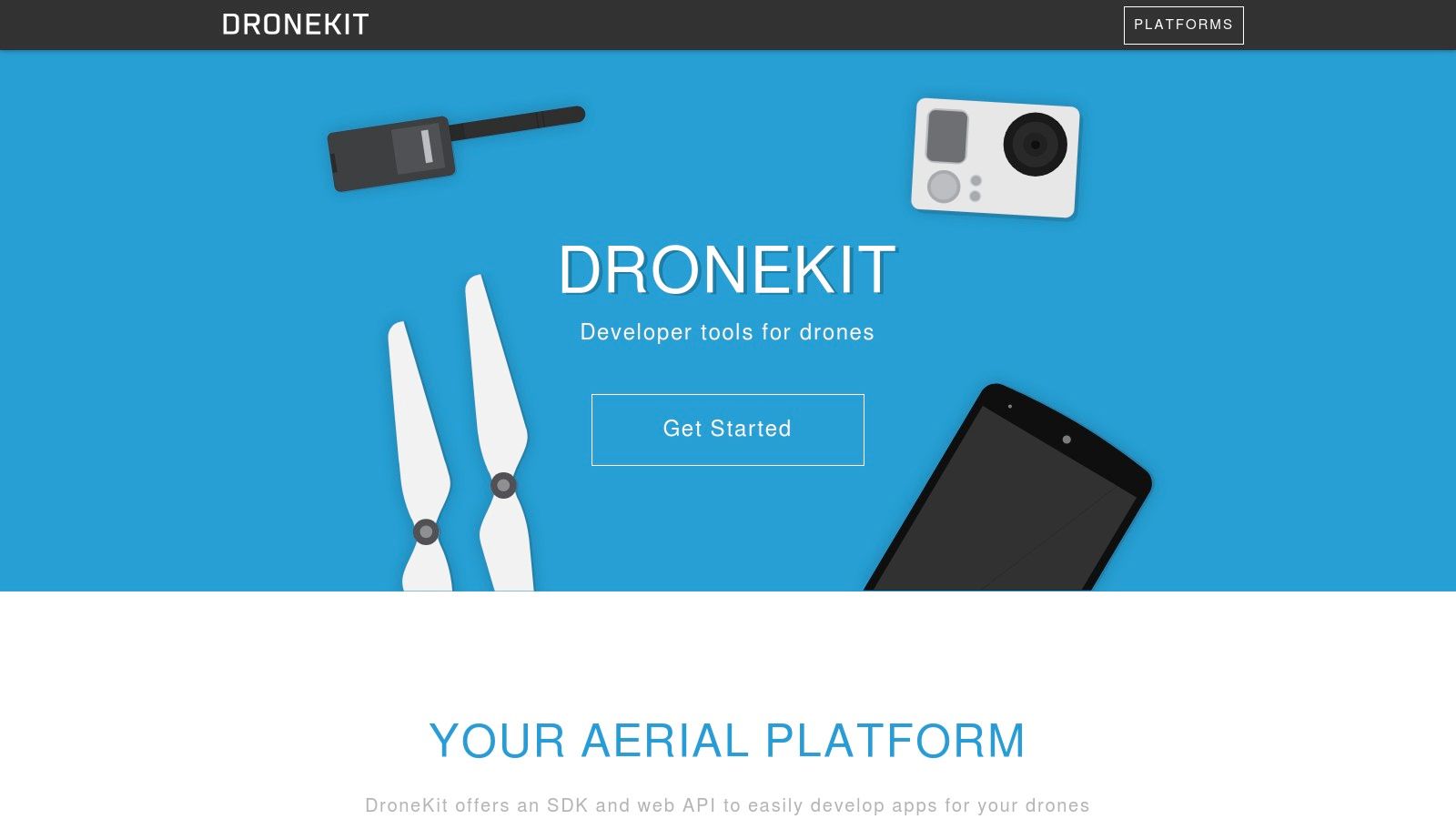
7. DroneKit
DroneKit stands out as a robust developer platform specifically designed for building sophisticated Unmanned Aerial Vehicle (UAV) applications. Instead of being a ready-to-fly software solution, DroneKit provides the tools and APIs necessary for developers to create custom drone applications tailored to their exact needs. This makes it a powerful option for software for UAV development, particularly for those looking beyond pre-built functionalities. This open-source platform, leveraging Python, Android, and web technologies, allows for extensive customization and integration possibilities, opening doors to a wide array of innovative drone applications.
DroneKit's core strength lies in its comprehensive set of APIs and SDKs. The Python API, for example, allows developers to create sophisticated flight control logic, implement autonomous missions, and manage sensor data. This is particularly useful for applications like precision agriculture, aerial surveying, and infrastructure inspection, where automated flight paths and data collection are crucial. The Android SDK extends this functionality to mobile devices, allowing for the creation of ground control stations and mobile applications that interface directly with the drone. Furthermore, the REST API enables web-based drone control, opening up possibilities for remote monitoring and management of UAV fleets.
DroneKit’s feature set revolves around enabling developers to interact with their UAVs at a low level. Its primary features include vehicle state monitoring, providing real-time data on position, altitude, speed, battery life, and other critical parameters. This real-time data feed can be integrated into custom applications to enable dynamic decision-making and autonomous adjustments during flight. Mission management capabilities allow developers to pre-program flight paths, waypoints, and actions, automating complex flight operations. Crucially, DroneKit integrates seamlessly with the ArduPilot autopilot system and uses the MAVLink communication protocol, ensuring compatibility with a wide range of drone hardware.
A significant advantage of DroneKit is its open-source nature under the MIT license. This allows for free usage, modification, and distribution, making it an attractive option for both hobbyists and commercial developers. The extensive documentation and numerous examples available online further contribute to its ease of use, providing valuable resources for developers starting their journey into UAV software development. The cross-platform support ensures flexibility, allowing developers to build applications for a variety of operating systems.
However, it's essential to note that DroneKit's power comes with a learning curve. Its reliance on programming knowledge, particularly in Python, makes it unsuitable for non-technical users. While the documentation is comprehensive, mastering the APIs and SDKs requires time and effort. Another limitation is its primary compatibility with ArduPilot-based systems, restricting its use with other autopilot platforms. While historically vibrant, the DroneKit community has seen a slowdown in recent years, which might impact the availability of up-to-date support and resources.
Compared to user-friendly drone control software with pre-built functionalities, DroneKit offers significantly more flexibility and customization. While platforms like DJI Go or Litchi focus on ease of use for general drone operation, DroneKit caters to developers seeking granular control over their UAVs. It allows developers to implement unique functionalities, integrate custom sensors, and design entirely new applications not possible with off-the-shelf software. For instance, a developer could use DroneKit to create an application for automated power line inspection, leveraging computer vision algorithms and custom sensor data processing. This level of customization makes DroneKit invaluable for research, development, and specialized commercial applications.
Implementing DroneKit typically involves installing the necessary libraries and setting up the development environment on your chosen platform. The DroneKit website (https://dronekit.io) provides detailed instructions and tutorials for getting started. Developers will need to familiarize themselves with the Python API and the MAVLink protocol to effectively interact with their ArduPilot-based drone. Testing and debugging are crucial aspects of the development process, and understanding the communication flow between the software and the drone is essential for building robust and reliable applications. While there is no direct cost associated with using DroneKit itself, developers might incur costs related to hardware, cloud services, or other third-party tools depending on the complexity of their applications.
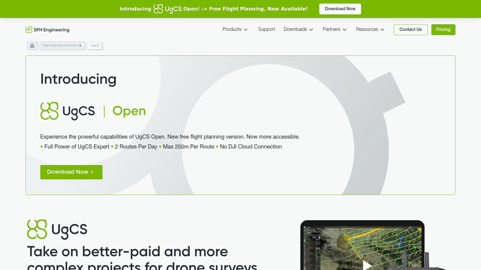
8. UgCS
UgCS (Universal Ground Control Software) earns its place on this list of top UAV software because of its robust professional mission planning and fleet management capabilities. It goes beyond basic flight control, offering advanced tools tailored for demanding commercial and enterprise drone operations. While hobbyists can certainly benefit from its features, UgCS truly shines in complex scenarios requiring precise planning, terrain awareness, and multi-drone deployments. This software empowers users to achieve complex flight objectives with a high degree of accuracy and control, making it a powerful tool for various applications ranging from detailed photogrammetry surveys to sophisticated inspection workflows.
A key strength of UgCS lies in its multi-platform compatibility. Unlike software locked to specific drone manufacturers, UgCS supports a wide range of popular UAV platforms including DJI, ArduPilot, and PX4. This flexibility allows businesses and individuals with diverse drone fleets to manage all their aircraft through a single unified interface, streamlining operations and simplifying workflows. This interoperability makes UgCS a particularly valuable asset for organizations utilizing various drone models for different tasks. Imagine a surveying company using both fixed-wing drones for wide-area mapping and multi-rotor drones for close-up inspections. UgCS allows them to plan and manage flights for both types of aircraft seamlessly within the same software environment.
One of the standout features of UgCS is its advanced 3D mission planning capability. Users can create complex flight paths with intricate waypoints, taking into account terrain data to maintain a safe and consistent altitude above the ground. This terrain following functionality is essential for operations in hilly or mountainous areas, ensuring the drone avoids collisions with obstacles and captures consistent data. Beyond terrain awareness, UgCS offers pre-built mission templates specifically designed for photogrammetry and surveying, allowing users to quickly set up flights optimized for data acquisition. These templates automate critical parameters like image overlap and flight lines, simplifying the planning process and ensuring high-quality results. Learn more about UgCS for insights into its photogrammetric applications.
UgCS isn't just about planning; it also provides real-time flight monitoring and control. During flight operations, users can track the drone's position, telemetry data, and camera feed, allowing for immediate intervention if necessary. For enterprise users, UgCS offers robust fleet management features including detailed reporting and analytics. This functionality allows organizations to track drone usage, monitor pilot performance, and generate reports on flight data, enabling efficient management of large-scale drone operations.
While UgCS offers powerful features for managing fleets of UAVs and is excellent software for UAV applications, it’s important to consider its limitations. The software's comprehensive feature set comes at a cost, with licensing fees for full functionality being relatively high compared to some competitors. The interface, while powerful, can be complex and requires a significant learning curve for new users. Additionally, the software has demanding system requirements and can be resource-intensive, potentially requiring a powerful computer for optimal performance. The limited functionality of the free version may also be a deterrent for users looking to explore the software before committing to a paid license.
UgCS offers flexible pricing options depending on the feature set required. Potential users should consult the UgCS website for detailed pricing information based on their specific needs. Technically, UgCS requires a reasonably modern computer with sufficient processing power and memory to handle the complex 3D rendering and data processing involved in mission planning. Specific system requirements are available on the UgCS website. For new users, taking advantage of available tutorials and training resources is highly recommended to master the software's complex functionalities.
Compared to similar tools like DJI Ground Station Pro or Mission Planner, UgCS distinguishes itself through its multi-platform support and advanced terrain following capabilities. While DJI Ground Station Pro excels in its integration with DJI drones, UgCS offers a wider range of platform compatibility. Mission Planner, while open-source and free, lacks the polished interface and advanced enterprise features found in UgCS.
In conclusion, UgCS offers a powerful suite of tools for professional UAV operations. Its multi-platform support, advanced mission planning capabilities, and enterprise-grade features make it an excellent choice for businesses and professionals requiring robust software for UAV fleet management. While the cost and complexity might be a barrier for some, the power and flexibility of UgCS make it a valuable asset for serious drone operators seeking precision and control in their UAV missions. You can find more information and download the software at https://www.ugcs.com.
UAV Software Feature Comparison
Product | Core Features ✨ | User Experience ★★★☆☆ | Value Proposition 💰 | Target Audience 👥 | Unique Selling Points 🏆 |
|---|---|---|---|---|---|
ArduPilot | Multi-vehicle support, autonomous modes, telemetry | Powerful but steep learning | Free, open-source | Researchers, developers 👥 | Highly customizable, broad hardware support ✨ |
DJI FlightHub 2 | Cloud-based ops, 2D/3D mapping, fleet mgmt | User-friendly, minimal learning | Subscription-based, costly 💰 | Enterprise, DJI users 👥 | Seamless DJI integration, robust cloud services 🏆 |
PX4 Autopilot | Professional flight control, modular, simulation | High quality, technical | Free, open-source | Commercial, academic 👥 | Advanced algorithms, simulation support ✨ |
Mission Planner | Waypoint planning, telemetry, flight log analysis | Comprehensive but complex | Free, open-source | ArduPilot users, planners 👥 | Full-featured mission planning for ArduPilot 🏆 |
QGroundControl | Cross-platform, mission planning, real-time control | Modern, intuitive interface | Free, open-source | Multi-platform users 👥 | Cross-platform, mobile support ✨ |
Litchi | Advanced waypoint missions, VR support, panoramas | Easy to use, advanced tools | One-time purchase, pricey 💰 | DJI drone users, hobbyists 👥 | VR FPV flying, mission hub community 🏆 |
DroneKit | APIs/SDKs for drone app development | Developer-focused, coding skill | Free, open-source | Developers, programmers 👥 | Cross-platform APIs, open-source MIT license ✨ |
UgCS | Multi-platform, 3D mission planning, photogrammetry | Professional, complex interface | Expensive licenses 💰 | Enterprise, commercial 👥 | Enterprise fleet mgmt, advanced mapping 🏆 |
Choosing Your Ideal UAV Software Companion
Selecting the right software for UAV operations is crucial for a successful flight, whether you're capturing stunning aerial photography, conducting complex surveys, or simply enjoying recreational flying. This guide has explored eight popular choices in 2025, ranging from open-source platforms like ArduPilot and PX4 Autopilot to comprehensive commercial solutions like DJI FlightHub 2 and user-friendly mobile apps like Litchi. Key takeaways include considering factors like platform compatibility (Windows, macOS, Linux, iOS, Android), ease of use, feature set (autonomous flight planning, waypoint navigation, camera control), and community support when choosing your software for uav.
Remember, the best software for your UAV depends entirely on your individual needs and goals. A DIY drone builder might find the flexibility of DroneKit essential, while a commercial operator could benefit from the robust features of UgCS. A hobbyist might appreciate the intuitive interface of QGroundControl, whereas a professional photographer could leverage the advanced camera controls offered by Mission Planner. Carefully evaluating your requirements, exploring the linked resources mentioned earlier, and testing different options will empower you to make the best decision.
Ultimately, the world of UAV flight is constantly evolving, with new software for uav solutions emerging regularly. Stay informed, adapt, and never stop exploring the possibilities. To further enhance your UAV operations and stay up-to-date with the latest advancements in drone technology, explore JAB Drone. We offer resources and tools to complement your chosen software for uav, ensuring a seamless and efficient flight experience. Visit JAB Drone today to discover how we can help you elevate your drone operations.


Comments