2025's Top drone flight planning software Picks
- Paul Simmons

- Apr 24, 2025
- 15 min read
Taking Off with the Best Drone Flight Planning Software
Planning complex drone missions or simply want more control over your aerial photography? This listicle presents the top 7 drone flight planning software options for 2025, helping you choose the right tool to streamline your workflow. Effective drone flight planning software eliminates the guesswork from flight paths, automated maneuvers, and image capture. We'll cover the pros and cons of DJI Terra, Pix4D, DroneDeploy, UgCS, Litchi, Drone Harmony, and Maps Made Easy, empowering you to select the perfect drone flight planning software for your needs.
1. DJI Terra
DJI Terra is a leading drone flight planning software developed by DJI, renowned as the world's largest drone manufacturer. This comprehensive software empowers users with powerful 3D reconstruction capabilities, precise mission planning tools, and even real-time mapping features. It's particularly optimized for DJI's enterprise drone lineup, including popular models like the Phantom 4 RTK, Matrice series, and select Mavic series drones. This makes DJI Terra an excellent choice for drone flight planning if you're already invested in the DJI ecosystem. Whether you're a professional surveyor, a construction manager, or involved in agricultural operations, DJI Terra offers specialized modules tailored for various industry applications, including infrastructure inspection. This positions it as a versatile tool for diverse drone mapping projects.
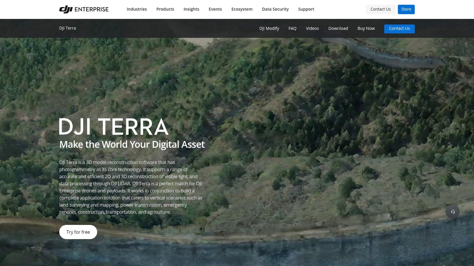
DJI Terra’s robust feature set makes it a top contender in the drone flight planning software arena. Its real-time 2D and detailed 3D mapping capabilities provide high-resolution outputs suitable for professional applications. The automated flight planning feature, with adjustable parameters for altitude, overlap, and flight path, ensures optimal data collection for accurate reconstructions. Supporting various mapping types, including oblique photography, allows for highly detailed 3D models. Built-in tools for measurements, annotations, and analysis further enhance its practicality for tasks such as volume calculations, area measurements, and progress tracking. The seamless integration with DJI drones and controllers simplifies workflows, enabling efficient data transfer and real-time flight monitoring. Learn more about DJI Terra for a deeper dive into its features and functionalities.
For those seeking a streamlined workflow within the DJI ecosystem, DJI Terra is a powerful choice. Its intuitive interface caters to both beginners and seasoned professionals, offering a balance of accessibility and advanced functionality. The high-quality reconstruction algorithms generate accurate 3D models, making it valuable for surveying, construction, and other industries requiring precise data. Regular updates from DJI ensure that the software stays current with new features and improvements, a definite plus for long-term users.
However, it's worth noting that DJI Terra utilizes a subscription-based pricing model which can be a significant expense for casual users or hobbyists. Another limitation is its restricted compatibility with non-DJI drones. Processing the large datasets generated by drone mapping often requires relatively powerful computer hardware, which should be considered before investing in the software. While the interface is generally user-friendly, some of the more advanced features can have a steep learning curve, requiring dedicated time and effort to master.
Despite these drawbacks, DJI Terra's seamless integration with DJI drones, robust mapping features, and sophisticated 3D reconstruction capabilities secure its position as a top-tier drone flight planning software. For professionals using DJI drones, it's a worthwhile investment that can significantly enhance productivity and data quality. You can find more information and download the software on the official DJI Terra website.
2. Pix4D
Pix4D is a powerful drone flight planning software solution primarily aimed at professionals seeking high-accuracy mapping and 3D modeling. While not strictly a flight planning tool in the sense of pre-programmed flight paths for capturing video footage, Pix4D excels in post-processing drone imagery to create precise, georeferenced 2D maps and 3D models, making it essential for applications requiring accurate measurement and analysis. This makes it invaluable for surveying, construction, agriculture, and other industries that rely on accurate spatial data. Think of it less as a tool to plan your cinematic drone shots and more as the software that turns raw drone images into actionable data. While Pix4D can be integrated into a complete drone flight planning workflow, its core strength lies in its photogrammetry capabilities. Therefore, it earns its place on this list as a critical component for professionals leveraging drones for data acquisition.
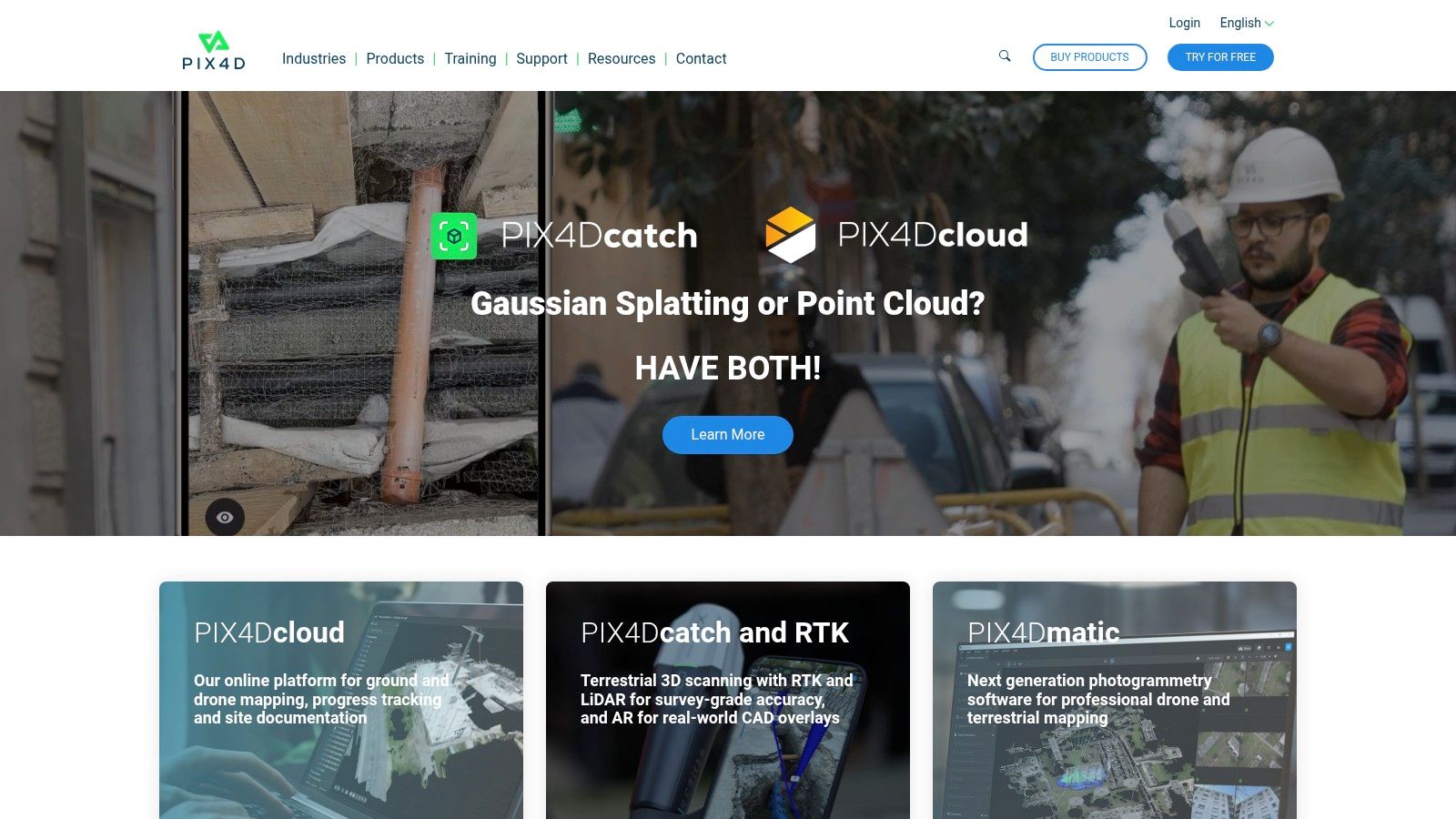
Pix4D offers specialized modules tailored for different industries, including Pix4Dmapper for general mapping, Pix4Dfields for agriculture, Pix4Dsurvey for surveying, and Pix4Dcloud for cloud-based processing. This modular approach allows users to choose the tools they need without paying for unnecessary features. For example, Pix4Dfields allows agricultural professionals to generate index maps for crop health analysis and create accurate field boundaries for precise fertilizer application, while Pix4Dsurvey enables surveyors to generate highly accurate point clouds and digital surface models for land surveying and volumetric calculations.
One of Pix4D's key strengths is its compatibility with a wide range of drones and cameras, ensuring versatility for various professional applications. It supports multispectral, thermal, and RGB imagery processing, opening up possibilities for diverse data analysis, from identifying crop stress to detecting thermal leaks in buildings. Advanced photogrammetry algorithms ensure the creation of highly accurate maps and models, a crucial requirement for professional applications demanding precision.
While powerful, Pix4D comes with a relatively high price point compared to other drone flight planning software options, making it a significant investment. The interface can also be complex and present a steep learning curve for beginners. Furthermore, the resource-intensive processing requires powerful hardware, potentially adding to the overall cost. The different modules sold separately, while offering specialized functionalities, can also increase the total cost depending on your needs.
Features:
Advanced photogrammetry for creating highly accurate maps and models
Specialized industry-specific workflows (agriculture, construction, mining)
Desktop and cloud processing options with mobile app integration
Comprehensive measurement and analysis tools
Supports multispectral, thermal, and RGB imagery processing
Pros:
Industry-leading accuracy and reliability for professional applications
Extensive customization options for processing parameters
Compatible with virtually any drone or camera system
Excellent technical support and comprehensive training resources
Cons:
High price point compared to other solutions
Complex interface with a steep learning curve for beginners
Resource-intensive processing requiring powerful hardware
Different modules sold separately, increasing total cost
Website: https://www.pix4d.com/
For users looking for powerful photogrammetry software, Pix4D offers unparalleled accuracy and comprehensive tools. However, the cost and complexity make it more suitable for seasoned professionals and commercial operations rather than hobbyists. If you are considering implementing Pix4D, take advantage of the available training resources and explore the free trial to familiarize yourself with the interface and capabilities before committing to a purchase.
3. DroneDeploy
DroneDeploy is a leading cloud-based drone flight planning software solution that simplifies complex mapping and analysis tasks for various industries. Whether you're a construction manager surveying a site, an agricultural specialist monitoring crop health, or a mining engineer inspecting a quarry, DroneDeploy provides the tools you need to efficiently plan, execute, and analyze your drone flights. This platform truly shines in its accessibility and powerful cloud processing, making it an ideal choice for users ranging from hobbyists to enterprise-level clients seeking a comprehensive drone management solution. With its intuitive interface, even beginners can quickly grasp the fundamentals of flight planning and data acquisition. For more experienced users, DroneDeploy offers advanced features to tailor flights and analysis to specific needs.

One of the key features that sets DroneDeploy apart is its Live Map functionality. This allows users to see real-time mapping data as the drone flies, enabling immediate identification of areas of interest and adjustments to flight plans as needed. This is incredibly useful for time-sensitive operations like search and rescue or rapidly changing environments like construction sites. Further enhancing its practical applications are comprehensive analysis tools that go beyond simple mapping. DroneDeploy allows for volumetric measurements (crucial for stockpile management in mining or construction), plant health analysis (essential for precision agriculture), and even 3D modeling for detailed site visualization. The extensive app marketplace provides specialized tools for specific use cases, effectively expanding the software's functionality to cater to diverse industries and needs. DroneDeploy supports most commercial drones, offering cross-platform compatibility that simplifies integrating existing equipment into your workflow. Learn more about DroneDeploy to understand its compatibility and integration capabilities.
DroneDeploy’s cloud-based architecture minimizes the need for high-end computers, as all the heavy lifting of processing data occurs on DroneDeploy's servers. This makes the software accessible to users with a range of hardware capabilities and operating systems. Both mobile and desktop interfaces are available for flight planning and data analysis, providing flexibility for field operations and in-office review. This makes DroneDeploy an excellent choice for drone hobbyists, professional photographers, and commercial drone operators looking for a versatile and powerful drone flight planning software. Tech enthusiasts will appreciate the platform's constant updates and integrations with cutting-edge technologies. Even DIY drone builders can benefit from the platform's robust feature set to maximize the potential of their custom builds.
While DroneDeploy offers a robust free trial, it operates on a subscription-based model, which can become a significant expense for long-term use. Also, internet connectivity is essential for many features, which might be a limitation in remote areas. Though the interface is user-friendly, customization of processing parameters is less extensive compared to some dedicated desktop solutions. Finally, certain advanced features are locked behind higher-tier subscription plans.
Pros:
Intuitive interface suitable for beginners
Powerful cloud processing reduces hardware requirements
Robust mobile app for field use
Integrations with various business systems
Live Map feature for real-time mapping
Extensive app marketplace
Cons:
Subscription-based model can be expensive
Requires internet connectivity for many features
Limited processing parameter customization
Advanced features require higher-tier subscriptions
Website: https://www.dronedeploy.com/
4. UgCS
UgCS (Universal Ground Control Software) stands out among drone flight planning software options for its emphasis on advanced mission planning rather than data processing. This makes it a powerful tool for professionals who prioritize complex flight maneuvers and precise control over their drones, rather than built-in photogrammetry tools. UgCS truly shines when it comes to tackling challenging environments. Whether you're navigating mountainous terrain, inspecting infrastructure, or conducting surveys in undulating landscapes, UgCS's terrain-following capabilities ensure your drone maintains a constant height above the ground, crucial for accuracy and safety. This robust software supports a wide range of drones, making it a hardware-agnostic choice for those who might work with various platforms or want the freedom to switch in the future.

UgCS caters to a variety of specialized applications, going beyond simple flight paths. Its tools are tailored for photogrammetry, LiDAR, and magnetometer surveys, providing advanced features for professionals in these fields. For instance, you can precisely plan overlapping image captures for 3D model generation or configure flight lines for accurate LiDAR data acquisition. This focus on specific use cases, combined with its terrain-following capabilities, makes UgCS a valuable asset for commercial drone operations. While UgCS excels in advanced flight planning, it's worth noting that its focus doesn't include built-in data processing. Users typically integrate UgCS with other software for post-flight analysis. This specialization allows UgCS to truly excel in its core competency: providing powerful and flexible flight planning capabilities.
Compared to more consumer-oriented drone flight planning software like DJI Fly or Litchi, UgCS offers significantly more granular control and advanced features. However, this comes at the cost of a steeper learning curve. The interface, while functional, isn't as intuitive as some of its more streamlined competitors. This makes it a better fit for experienced drone pilots and professionals willing to invest time in mastering the software.
Features:
Advanced terrain-following flight planning with elevation data integration
Support for over 60 drone models from different manufacturers (including DJI, Yuneec, Parrot, and custom drones using Pixhawk or APM autopilots)
3D mission planning with visualization of terrain and flight paths
Automatic obstacle avoidance and safety checks
Specialized tools for photogrammetry, LiDAR, and magnetometer surveys
Pros:
Exceptional terrain-following capabilities for complex environments
Hardware-agnostic approach supporting numerous drone platforms
Powerful flight planning tools for specialized applications
Perpetual license option available besides subscription
Cons:
Steeper learning curve compared to more consumer-oriented solutions
Interface not as modern or intuitive as some competitors
Limited built-in data processing capabilities (focuses on planning)
Higher price point for advanced features
Website: https://www.ugcs.com/
UgCS earns its place on this list because it fills a crucial gap in the drone flight planning software landscape. It empowers users to execute complex missions in challenging environments with unparalleled precision. While not the simplest software to learn, its power and flexibility make it an invaluable tool for professional drone operators seeking advanced flight control and terrain-following capabilities. Pricing details can be found on their website and vary based on features and licensing options. While technical requirements aren't explicitly listed, a reasonably powerful computer is recommended for optimal performance, especially when processing large elevation datasets or intricate 3D flight plans.
5. Litchi
Litchi is a popular drone flight planning software option, especially for those using DJI drones. It distinguishes itself by offering a compelling balance of advanced autonomous flight capabilities and affordability, bridging the gap between basic flight apps and expensive professional mapping software. This makes it an excellent choice for hobbyists, content creators, and even small businesses looking to leverage the power of automated flight without breaking the bank. Whether you're planning intricate cinematic shots or conducting basic aerial surveys, Litchi provides a user-friendly platform to expand your drone's potential.

One of Litchi's key strengths lies in its waypoint mission planning. You can precisely control altitude, speed, and camera actions at each waypoint, allowing for complex flight paths and automated image capture. This is invaluable for tasks like creating smooth tracking shots, capturing a panoramic view of a landscape, or conducting a basic aerial survey of a property. Beyond waypoints, Litchi offers several other intelligent flight modes, including Orbit, Follow Me, and Track, empowering users to capture dynamic and engaging footage effortlessly. Imagine smoothly circling a point of interest, having the drone autonomously follow a moving subject, or locking onto a specific object and keeping it perfectly framed as the drone flies – Litchi makes these advanced maneuvers accessible to everyone. For an even more immersive experience, the Virtual Reality mode allows you to fly your drone as if you were in the cockpit, using compatible VR goggles. Furthermore, the Mission Hub web interface allows you to plan your missions comfortably on a larger desktop screen before syncing them to your mobile device. Crucially, once your mission is loaded onto your mobile device, Litchi operates offline, ensuring uninterrupted flight execution even in areas with limited or no internet connectivity.
Litchi's pricing model is another significant advantage. Unlike many professional drone flight planning software options that require ongoing subscriptions, Litchi is available as a one-time purchase through mobile app stores (iOS and Android). This makes it a significantly more budget-friendly option for individual drone pilots and those who only require these capabilities occasionally. While Litchi excels in ease of use and automated flight, it’s important to be aware of its limitations. Currently, it's exclusively compatible with DJI drones, so users of other brands will need to explore alternative solutions. Additionally, while suitable for basic aerial surveys, Litchi lacks the advanced mapping and photogrammetry tools found in dedicated mapping software. It also doesn't offer built-in data processing capabilities. Finally, compared to some professional solutions, updates may be less frequent.
Implementation Tip: Before your first flight, spend time familiarizing yourself with the Mission Hub web interface. Planning your missions on a desktop offers a more comfortable and efficient experience, especially for complex flight paths. Make sure to thoroughly test your planned missions in a safe, open area before deploying them in more complex environments.
For users looking for an accessible, affordable, and powerful drone flight planning software, particularly those flying DJI drones, Litchi is a strong contender. Its user-friendly interface, combined with robust autonomous flight features, makes it an excellent tool for enhancing creativity and efficiency in various drone applications. Visit their website (https://flylitchi.com/) to explore the full range of features and compatibility information.
6. Drone Harmony
Drone Harmony distinguishes itself as a powerful drone flight planning software specifically designed for automated inspection of complex vertical structures and terrain-aware mapping. This makes it a valuable tool for commercial drone operators involved in industrial inspections and high-precision surveys. Unlike more general-purpose drone flight planning software, Drone Harmony excels in planning intricate missions around challenging 3D objects such as cell towers, wind turbines, buildings, and bridges. It achieves this by combining sophisticated 3D modeling with advanced flight planning algorithms that generate optimized flight paths ensuring comprehensive data capture while prioritizing safety and efficiency. This focus on automated, precise flight planning around complex structures earns Drone Harmony its place on this list.

Drone Harmony offers both mobile and web applications. While the mobile app allows for on-site flight planning and adjustments, the web application unlocks more advanced planning capabilities. These include importing 3D models, CAD files, and terrain data (Digital Elevation Models - DEMs) to create highly accurate and detailed flight plans. This terrain-aware planning is critical for inspections in mountainous regions or areas with complex topography. The software also allows for customizable inspection patterns, allowing users to tailor data acquisition to specific structure types and inspection requirements. Features like automated terrain following and obstacle avoidance ensure safe and efficient data capture, even in challenging environments. For more in-depth information, you might want to learn more about Drone Harmony and its features.
Features:
Automated 3D flight planning around vertical structures and complex assets
Terrain-aware mission planning using digital elevation models (DEMs)
Customizable inspection patterns for different structure types
Import capabilities for 3D models and CAD files
Comprehensive collision avoidance and safety features
Pros:
Specialized tools for industrial inspection not found in most other drone flight planning software platforms.
Excellent terrain following and obstacle avoidance capabilities for increased safety and efficiency.
Offers both web and mobile interfaces providing flexibility in planning and execution.
Strong focus on data quality and complete asset coverage.
Cons:
Higher learning curve for utilizing advanced features compared to simpler drone flight planning software.
Premium pricing for professional features may be a barrier for some users.
More specialized than general-purpose flight planning tools, limiting its applicability for some drone operations.
Limited data processing capabilities compared to comprehensive mapping solutions. Data captured with Drone Harmony may require processing in third-party software.
While pricing information isn't readily available and may vary depending on specific needs and subscriptions, it's understood that professional features come at a premium cost. Technical requirements will also vary depending on whether you're using the mobile or web application, but a stable internet connection is crucial for leveraging cloud-based features and data syncing. Compared to simpler drone flight planning software, Drone Harmony requires more upfront investment in learning the software. However, this investment pays off for professionals needing highly accurate, automated, and safe flight plans for complex industrial inspections and surveys.
Drone Harmony's website, https://droneharmony.com/, provides further information and resources.
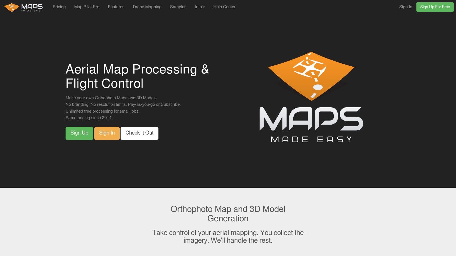
7. Maps Made Easy
Maps Made Easy distinguishes itself in the crowded field of drone flight planning software with its unique pay-per-use model, making it a compelling choice for those seeking cost-effective mapping solutions. Unlike subscription-based platforms, Maps Made Easy utilizes a point system where users purchase points to process specific areas, ideal for occasional mapping projects or smaller businesses on a budget. This flexibility allows users to only pay for what they need, eliminating the ongoing financial commitment of subscriptions. This drone flight planning software gives users control over their expenses, especially beneficial for those not engaged in constant mapping missions.
This platform caters to a variety of users, from hobbyists capturing aerial footage of their property to professionals generating precise orthomosaics for construction or agricultural assessments. Its accessibility is another key strength, with a straightforward interface both on the web platform for processing and the Map Pilot mobile app for flight planning. This intuitive design minimizes the training required, enabling users to quickly grasp the functionalities and begin their mapping projects. While Map Pilot is currently limited to iOS, an Android version is under development, expanding its accessibility further.
Maps Made Easy empowers users to produce a range of outputs including orthomosaics, 3D models, digital elevation models (DEMs), and Normalized Difference Vegetation Index (NDVI) maps – particularly useful for agricultural applications. Features like automatic georeferencing and ground control point (GCP) support enhance the accuracy and precision of the generated data. While its processing capabilities might not rival premium, enterprise-grade solutions, Maps Made Easy strikes a commendable balance between accessibility and professional-quality results.
Implementation Tips:
Estimate your project area: Before purchasing points, utilize online mapping tools to accurately measure your intended flight area to avoid overspending. Maps Made Easy provides resources to help with this estimation.
Familiarize yourself with the Map Pilot app: While intuitive, exploring the app's features beforehand, such as setting waypoints and adjusting camera parameters, will streamline your on-site flight planning.
Consider GCPs for increased accuracy: If high precision is crucial for your project, especially in surveying or construction, incorporate GCPs into your workflow. Maps Made Easy supports GCP integration to refine georeferencing and improve the accuracy of your maps and models.
Pros:
Cost-effective for occasional use and smaller projects thanks to its pay-per-use model.
Simple and straightforward interface minimizes the learning curve.
Offers a good balance between ease of use and professional results.
No ongoing financial commitment required with subscriptions.
Cons:
Processing capabilities may not be as advanced as some premium alternatives.
Mobile flight planning app (Map Pilot) is currently limited to iOS.
Fewer data analysis tools compared to enterprise-level platforms.
The point-based system can initially be challenging for new users to estimate costs.
Website: https://www.mapsmadeeasy.com/
Maps Made Easy earns its spot on this list by offering a valuable alternative to subscription-based drone flight planning software. Its unique pricing model, combined with an intuitive interface and respectable processing capabilities, makes it a practical choice for a wide range of drone mapping projects, from casual aerial photography to professional data acquisition. Its particular strength lies in empowering budget-conscious users and smaller businesses to access professional-grade mapping tools without a significant financial burden.
Side-by-Side Comparison: 7 Drone Flight Planning Tools
Product | Core Features ✨ | User Experience ★ | Target Audience 👥 | Value & Pricing 💰 |
|---|---|---|---|---|
DJI Terra | 3D mapping, automated flight planning, seamless DJI integration | Intuitive, accurate, smooth workflow | DJI enterprise users | Enterprise-grade; subscription-based pricing |
Pix4D | Advanced photogrammetry, georeferenced 2D/3D models | Highly accurate, customizable yet complex | Professional mappers & surveyors | Premium pricing; extensive support |
DroneDeploy | Cloud-based real-time mapping, extensive app marketplace | User-friendly, mobile optimized, minimal local hardware needs | Construction, agriculture, and more | Flexible subscriptions; strong value proposition |
UgCS | Advanced terrain-following, multi-model 3D mission planning | Powerful features with a steeper learning curve | Professionals needing custom planning | Professional licensing; higher price point |
Litchi | Autonomous flight modes, waypoint & orbit missions | Accessible and simple UI; optimized for on-the-go operations | Hobbyists & content creators | One-time purchase; affordable alternative |
Drone Harmony | 3D flight planning for vertical structures, terrain-aware inspection | Robust specialized tools; advanced functionality | Industrial inspectors | Premium pricing; niche, high-quality inspection focus |
Maps Made Easy | Pay-per-use mapping, integrated flight planning with cloud processing | Straightforward with minimal training requirements | Occasional mappers, small businesses | Cost-effective; no long-term subscription commitment |
Choosing Your Perfect Drone Flight Planning Co-Pilot
From pre-programmed autonomous missions with DJI Terra and Pix4D's advanced mapping capabilities to the user-friendly interface of Litchi and the terrain-following precision of Drone Harmony, the world of drone flight planning software offers a diverse range of tools for every pilot. Whether you're a hobbyist capturing breathtaking aerial photography, a commercial operator conducting detailed surveys, or a tech enthusiast pushing the boundaries of drone capabilities, selecting the right drone flight planning software is crucial for maximizing your efficiency and achieving your desired outcomes. Key takeaways include considering factors like your budget, required features (such as 3D modeling, terrain following, or waypoint missions), ease of use, and compatibility with your drone hardware. Remember to explore the individual offerings of solutions like DroneDeploy, UgCS, and Maps Made Easy to understand their unique strengths. When implementing your chosen software, prioritize safety protocols, understand airspace regulations, and practice in safe environments before undertaking complex flight plans.
Finding the perfect drone flight planning software can significantly enhance your drone operations, allowing you to focus on capturing stunning imagery or gathering critical data. With the right co-pilot by your side, the sky's the limit. For more in-depth reviews, comparisons, and expert advice on drone flight planning software and other essential drone technologies, explore the resources available at JAB Drone. JAB Drone provides comprehensive information and tools to empower drone pilots of all levels, helping you make the most informed decisions about your drone equipment and flight planning strategies.
Comments