Drone Real Estate Photography Tips to Boost Listings
- James Baptiste

- May 24, 2025
- 13 min read
Updated: May 25, 2025
The Power of Aerial Property Imagery
Drone real estate photography is no longer a futuristic fantasy; it's a core component of modern property marketing. This technology has reshaped how buyers experience properties, offering a bird's-eye view once impossible without considerable cost. Traditional photography, while important, struggles to capture a property's full scope, especially larger estates or unique landscaping. That's where the magic of aerial imagery comes in.
Seeing the Whole Picture
Imagine trying to grasp a vast estate's layout from a few ground-level photos. You might see the house, but the surrounding land, its relation to neighboring areas, and the true size would remain hidden. Drone photography, however, provides a complete view, uncovering these essential details and presenting a comprehensive picture to potential buyers. This panoramic perspective helps buyers envision themselves within the property and its environment, building a deeper emotional connection.
For example, a sprawling ranch might look nice in standard photos, but drone footage can showcase its closeness to a nearby lake, highlighting a desirable lifestyle element easily missed. Drone photography also captures the true expanse of a property's acreage, a feature appealing to buyers seeking privacy and space. This creates a sense of scale that ground-level photos can't match.
From Luxury to Essential
Drone real estate photography use has skyrocketed, becoming a key marketing tool for property listings worldwide. As of 2025, about 80% of active listing agents use drone photography and videography to market properties. This increase is especially noticeable in the luxury home market and for large estates, where aerial imagery provides a unique, complete perspective that traditional methods can’t match. The value of drone photography is clear: homes with drone images sell 68% faster than those without, according to industry studies like those found at photoup.net. The cost of drone services has also become more affordable. Basic drone packages now range from $100 to $250, depending on the region. More professional services can range from $300 to $500+ for premium options. The return on investment is substantial. Listings with aerial images can command up to a 10% higher sale price, making drones a cost-effective tool for real estate professionals. For more tips on framing and real estate photography, check out this helpful blog post: Real Estate Photography Tips.
Crafting a Narrative
Top real estate agents aren't just using drone photography as a visual extra; they're using it as a strategic storytelling tool. They leverage these unique viewpoints to create compelling narratives that resonate with buyers. By showcasing properties within their setting, drone photography allows agents to highlight selling points and establish a sense of place, increasing buyer engagement and ultimately driving quicker sales.
Measuring the Real ROI of Drone Photography
Drone real estate photography offers a compelling visual advantage. Its true value, however, lies in its return on investment (ROI). This means looking beyond impressive visuals and understanding the financial benefits for your real estate business. This section explores the actual numbers behind drone photography, providing a cost-benefit analysis across various property types and price points.
Quantifying the Impact of Aerial Imagery
Talking with successful realtors reveals how drone photography impacts key performance indicators (KPIs). These include days-on-market, inquiry rates, and final selling prices. Imagine a property with unique landscaping or proximity to desirable amenities. These features, often missed in traditional photos, become clear with aerial perspectives. This broader view can significantly boost buyer interest and speed up sales.
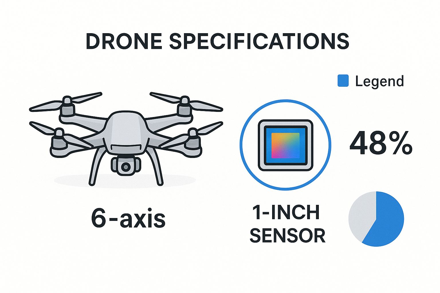
The infographic above compares a typical drone used in real estate photography with a high-resolution camera sensor. It shows how drones capture expansive, detailed property views. This combination of broad perspective and high image quality becomes vital for showcasing a property's potential.
Calculating Your Potential Return
This section offers practical ways to calculate your expected ROI based on your market and properties. We'll also cover proven strategies for explaining drone photography's value to clients. Some might initially see it as an extra cost. By highlighting the potential for quicker sales and higher prices, you can position drone photography as a necessary investment.
The increasing affordability of drone technology also makes a strong case for its use. While professional drone services can range from $300 to $500+ for top-tier packages, the potential returns often exceed the initial cost. This is especially true in a growing market. The global real estate drone services market, estimated at $0.49 billion in 2024, is projected to reach $0.58 billion in 2025, an 18% compound annual growth rate (CAGR). Several factors fuel this growth, including the rising need for high-quality visuals and the cost-effectiveness of drones compared to traditional aerial photography. Learn more about the growth of the drone real estate photography market here. In the U.S., over 20% of commercial drone shoots are for real estate, proving the technology's importance in modern property marketing.
Let's take a look at the impact drone photography can have. The table below illustrates the measurable benefits observed when incorporating drone photography into real estate listings.
Impact of Drone Photography on Real Estate Metrics
This table shows the measurable benefits of using drone photography in real estate listings compared to traditional photography only
Metric | Traditional Photography Only | With Drone Photography | Percentage Improvement |
|---|---|---|---|
Days on Market | 45 days | 30 days | 33% |
Inquiry Rate | 10 inquiries/week | 18 inquiries/week | 80% |
Final Selling Price (compared to asking price) | 97% | 101% | 4% |
As you can see, adding drone photography can significantly decrease the time a property spends on the market, while simultaneously increasing inquiries and final selling prices. These improvements demonstrate the powerful impact of showcasing a property from unique perspectives.
Real-World Success Stories
We’ll explore case studies with before-and-after metrics from agents using drone photography. These examples provide concrete proof of the positive impact on sales and profits. This practical evidence reinforces the value and justifies the investment in drone technology for real estate marketing.
Navigating Drone Photography Pricing Without Overpaying
Drone real estate photography offers incredible perspectives, but the cost can be a significant factor. Understanding how pricing works empowers you to make smart choices and get the best value for your investment. This guide breaks down the key factors that influence pricing, helping you find the perfect balance between quality and affordability.
Factors That Influence Drone Photography Costs
Several elements contribute to the final cost of drone real estate photography. Photographer experience is a major one. Seasoned professionals with a proven track record and a portfolio of stunning work often charge more than those just starting out. This reflects their advanced skills, high-quality equipment like a professional DJI drone, and consistent ability to deliver top-notch results.
The size and complexity of the property also play a significant role. A large estate requires more flight time, complex maneuvers, and potentially multiple battery changes, all of which increase costs. Smaller properties are generally quicker and easier to photograph, resulting in a lower price. The scope of services also matters. Basic photo packages are typically less expensive than those including video footage, 3D mapping, or virtual tours. For insights on protecting your aerial business, consider Drone Business Insurance: Protect Your Aerial Enterprise.
Geographic location also influences pricing. Areas with higher living costs and increased demand for drone services tend to have higher rates than less populated areas. As of 2025, beginner drone photographers generally charge between $75 and $150 per property, while intermediate professionals typically range from $150 to $300. Highly experienced, premium drone photographers can charge $300 to $500 or more per shoot. Property size significantly impacts pricing, with small homes (under 1,000 sq. ft.) costing $75–$150, medium-sized properties (1,000–3,000 sq. ft.) $150–$350, and large estates (over 3,000 sq. ft.) $350 or more.
Adding video to your package increases costs, with drone photo and short video packages typically ranging from $250 to $500, and comprehensive packages with more images and longer videos costing $350–$800 or more. Location and extras like 3D mapping or virtual tours can also affect pricing. Despite this range, the investment in drone photography is generally considered worthwhile due to its potential to increase property values and speed up sales. For more on drone real estate photography pricing, visit this resource.
Understanding Pricing Models
Drone photography services usually employ several pricing models. Flat-rate packages offer a fixed number of photos or videos for a set price, simplifying budgeting. Hourly rates bill based on the photographer's time, including shooting and editing. This offers flexibility but can be harder to predict the final cost. Understanding these typical costs is crucial for budgeting your aerial photography. More details on pricing are available here.
Some photographers use price-per-square-foot models, directly linking their fees to the property's size. Package deals bundle multiple services, like aerial photos, videos, and floor plans, offering a comprehensive approach at a potentially discounted rate.
Negotiating and Getting the Best Value
Don't hesitate to negotiate with photographers to find the best package for your needs. Clearly communicate your budget and requirements, and be open to discussing customized options. Inquire about their experience, equipment, and insurance to ensure they're reputable and professional. By being proactive and asking the right questions, you can maximize your drone photography investment.
To help you understand typical pricing ranges, we've compiled a handy guide below.
Drone Real Estate Photography Pricing Guide A breakdown of typical pricing ranges based on photographer experience, property size, and included services
Service Level | Property Size | Photo Package | Photo & Video Package | Premium Package |
|---|---|---|---|---|
Beginner | Under 1,000 sq. ft. | $75-$150 | $250-$500 | $400-$600 |
Beginner | 1,000-3,000 sq. ft. | $150-$200 | $300-$550 | $500-$700 |
Beginner | Over 3,000 sq. ft. | $200-$250 | $400-$650 | $600-$800 |
Intermediate | Under 1,000 sq. ft. | $150-$250 | $350-$600 | $550-$800 |
Intermediate | 1,000-3,000 sq. ft. | $200-$300 | $450-$700 | $650-$900 |
Intermediate | Over 3,000 sq. ft. | $250-$350 | $550-$800 | $750-$1,000+ |
Expert | Under 1,000 sq. ft. | $300-$400 | $600-$800 | $900-$1,200+ |
Expert | 1,000-3,000 sq. ft. | $350-$500 | $700-$1,000 | $1,000-$1,500+ |
Expert | Over 3,000 sq. ft. | $400-$600+ | $800-$1,200+ | $1,200-$2,000+ |
As you can see, prices vary significantly based on several factors. Remember to discuss your specific needs with the photographer to ensure you're getting the best value for your project.
Crafting a Cohesive Visual Story With Aerial Imagery
Drone real estate photography offers breathtaking perspectives. But truly maximizing their impact requires skillful integration into your overall marketing strategy. This involves thoughtful planning, arranging images to tell a story, and placing them strategically across various marketing channels. Let's explore how top agents use drone photography to create a visual narrative that truly resonates with potential buyers.
Preparing Your Property for the Perfect Aerial Shot
Preparation is key for impactful drone photography. This means envisioning your property as seen from above, much like a drone would. Consider how elements like landscaping, furniture placement, and even the cleanliness of your pool can drastically affect the final images. A pre-shoot checklist can be invaluable, ensuring every detail contributes to the desired aesthetic and maximizing curb appeal from an aerial perspective. You might be interested in: How to master drone photography techniques.
Declutter: Remove any unnecessary items like garden tools, toys, or debris from the yard.
Landscaping: Keep the lawn neatly mowed, trim overgrown bushes, and add vibrant color with flowers.
Vehicles: Strategically park cars or remove them entirely for a cleaner, more polished look.
Pool and Patio: Ensure the pool is sparkling clean and arrange patio furniture to create an inviting scene.
Sequencing Drone Images for a Compelling Narrative
Sequencing drone images alongside traditional photographs is crucial for creating a compelling visual story. Imagine it as a guided tour: begin with a broad aerial shot establishing the property's location and surroundings. Then, transition to ground-level photos showcasing interior details before circling back to aerial views highlighting key features like a pool or meticulously landscaped gardens. This method allows potential buyers to connect with the property on an emotional level, fostering a sense of place and belonging.
Showcasing Your Aerial Imagery for Maximum Impact
Strategic placement of your drone photography across multiple platforms is essential for maximizing your investment. Think about platforms like Zillow or Realtor.com. Highlighting key features with compelling captions elevates your visuals even further. For example, a stunning aerial shot of a waterfront property paired with the caption "Enjoy serene lakeside living in this stunning property" immediately connects the visual with a desirable lifestyle.
Listing Platforms: Feature high-resolution aerial images prominently on real estate websites.
Social Media: Use eye-catching drone shots in social media campaigns, targeting specific demographics on platforms like Instagram and Facebook.
Print Materials: Incorporate striking aerial views in brochures and flyers for a premium touch.
Maximizing Your Investment With Multi-Channel Marketing
Leveraging drone photography across multiple channels ensures maximum return on your investment. Using compelling visuals and carefully crafted captions across platforms like Instagram, Facebook, and even print materials strengthens your brand identity and expands your reach. This integrated approach reinforces the property’s value and creates a consistent brand experience. Consider drone images not as individual photos, but as integral components of a broader, more engaging marketing narrative. This multi-faceted strategy maximizes your investment and positions your property for success in a competitive market.
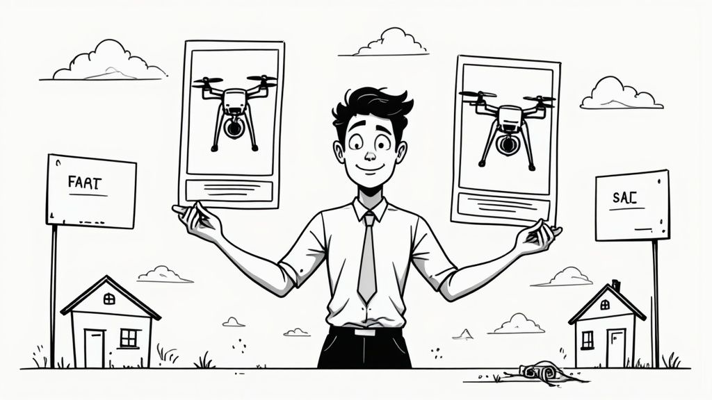
DIY vs. Professional Drone Photography: Making The Smart Choice
Drone real estate photography truly elevates property listings, offering captivating perspectives and showcasing properties in a way traditional photography simply can't. But a key question often arises: should you invest in your own drone, or hire a professional? This section offers a clear comparison, helping you determine the best approach for your real estate business. We'll analyze the costs, required time investment, and legal aspects of both DIY and professional drone photography.
Evaluating The True Cost of DIY Drone Photography
Initially, the DIY route might appear cost-effective. You see the price of a drone and think, "That's it!" But the expenses extend far beyond the initial drone purchase. Think about the cost of necessary software like Adobe Photoshop or DaVinci Resolve for editing and processing images. Then there's the essential training required to capture truly professional-quality photos and videos. This can represent a significant investment of both time and money.
Ongoing maintenance and repairs are also inevitable. Drones, like any technology, require upkeep. You might be interested in: How to master your drone skills with a simulator. Simulators can be valuable tools, but they add another layer of expense to the DIY approach. Finally, the learning curve itself has a hidden cost. Your early attempts might not yield the polished, professional results you need for effective marketing, potentially impacting your initial listing presentations.
Understanding The Investment in Professional Drone Services
Hiring a professional drone photographer involves a direct upfront cost. However, what you're gaining is access to expertise, top-of-the-line equipment, and streamlined workflows. These professionals have honed their skills and possess the experience to capture breathtaking visuals, edit them expertly, and deliver the final product quickly. Furthermore, they handle all the legal and logistical complexities, ensuring compliance with regulations and securing any necessary permissions. This allows you to focus your energy on other critical aspects of your business.
Legal and Licensing Considerations For Drone Operators
Navigating the legal aspects of drone operation is crucial, regardless of whether you choose the DIY or professional route. For DIY operation, you'll need the FAA Part 107 certification, a process that requires dedicated study and passing an exam. A deep understanding of airspace restrictions, no-fly zones, and permit requirements is also essential for legal operation. Don’t forget about insurance, which is vital to protect you from potential liability. These legal requirements represent a considerable commitment of time and money for DIY operators. Professional photographers, however, already have these bases covered. Their existing certification, insurance, and knowledge of current regulations streamline the entire process, eliminating potential legal risks and saving you valuable time and hassle.
Time Investment: DIY vs. Professional
Time is a precious commodity, especially in the fast-paced world of real estate. DIY drone photography consumes a significant amount of time: planning flights, setting up equipment, capturing footage, and then post-processing the images. These tasks can detract from essential activities like client interactions, property showings, and other core responsibilities. Hiring a professional, on the other hand, completely offloads these time-consuming tasks, allowing you to allocate your time more effectively.
Making The Right Choice For Your Business
The best choice between DIY and professional drone photography depends on various factors, including your listing volume, the types of properties you handle, and your overall business goals. If you manage a high volume of properties and require drone photography regularly, the initial investment in equipment and training for the DIY approach might eventually prove worthwhile. However, for occasional use or showcasing unique, high-value properties, hiring a professional often provides the most efficient and cost-effective solution. Professional drone photographers typically charge between $75 for beginners and $500+ for seasoned experts. Weighing these costs against the potential return on investment is crucial. Consider whether the enhanced marketing impact of professional aerial imagery justifies the expense for each listing. Factors like property value and your target market can significantly influence this decision.
Navigating the Legal Landscape of Aerial Property Marketing
Drone real estate photography offers breathtaking visuals, but operating legally is paramount. This guide navigates the legal complexities, ensuring your aerial marketing is both captivating and compliant. Understanding the rules protects your business and fosters a reputation for responsibility.
Understanding FAA Regulations
The Federal Aviation Administration (FAA) oversees all commercial drone operations in the United States. For real estate photography, this involves following specific rules for airspace, pilot certification, and operational limits. Ignoring these could result in substantial fines and legal issues.
Part 107 Certification: Commercial drone pilots need Part 107 certification, proving their knowledge of airspace rules, flight restrictions, and safe practices. This involves passing an FAA exam.
Airspace Restrictions: Understanding airspace classifications is essential. Some areas, like those near airports or government buildings, have restrictions and require special permission before flying. This is vital for safe, legal drone operation.
No-Fly Zones: Certain areas are strictly prohibited for drones, often for safety or security reasons. Knowing and avoiding these zones is key to compliance. You might be interested in: Understanding Drone Waivers and Regulations.
Respecting Property Rights and Privacy
Capturing the perfect shot is important, but respecting property lines and individual privacy comes first. A drone over a neighbor's property can raise privacy concerns and create legal problems. It’s vital to stay within property boundaries and consider potential privacy implications. This shows respect and helps prevent disputes.
Obtaining Consent: If your drone flight needs to cross property lines, getting permission from the property owners is not just courteous, it’s often required.
Neighbor Notifications: While not always legally mandatory, informing neighbors of your drone operation is a good practice and can prevent complaints or misunderstandings.
Privacy Best Practices: Using ethical photography methods, like avoiding close-ups of private areas and being mindful of angles, demonstrates your focus on responsible drone use.
Verifying Photographer Credentials
If hiring a drone photographer, verifying their qualifications is a must. This protects you from liability and ensures compliance. Don't just assume they are operating legally – confirm it.
Part 107 License: Ask for a copy of their Part 107 license. This confirms they meet the FAA’s standards.
Insurance Coverage: Request proof of liability insurance. This protection is crucial if accidents happen during the shoot.
Compliance Documentation: A responsible drone operator will have documents showing their understanding of and adherence to FAA regulations.
Building Ethical Practices
Ethical aerial photography goes beyond just following the law. It involves building trust, respecting privacy, and operating responsibly. This creates a strong reputation and positions you as a leader in ethical drone use.
Transparency: Openly communicating your drone operations to clients and neighbors builds trust.
Community Engagement: Consider the community impact and minimize disruptions from your drone flights.
Continuous Learning: The drone industry is constantly changing. Staying updated on the latest regulations and best practices demonstrates your commitment to responsible aerial photography.
Ready to elevate your real estate marketing? Explore drone technology and enhance your listings with JAB Drone. Visit today for insights, product reviews, and drone resources.
Comments