Elevate Projects with Construction Drone Photography
- Paul Simmons

- Apr 28, 2025
- 12 min read
The Evolution of Drone Photography in Construction

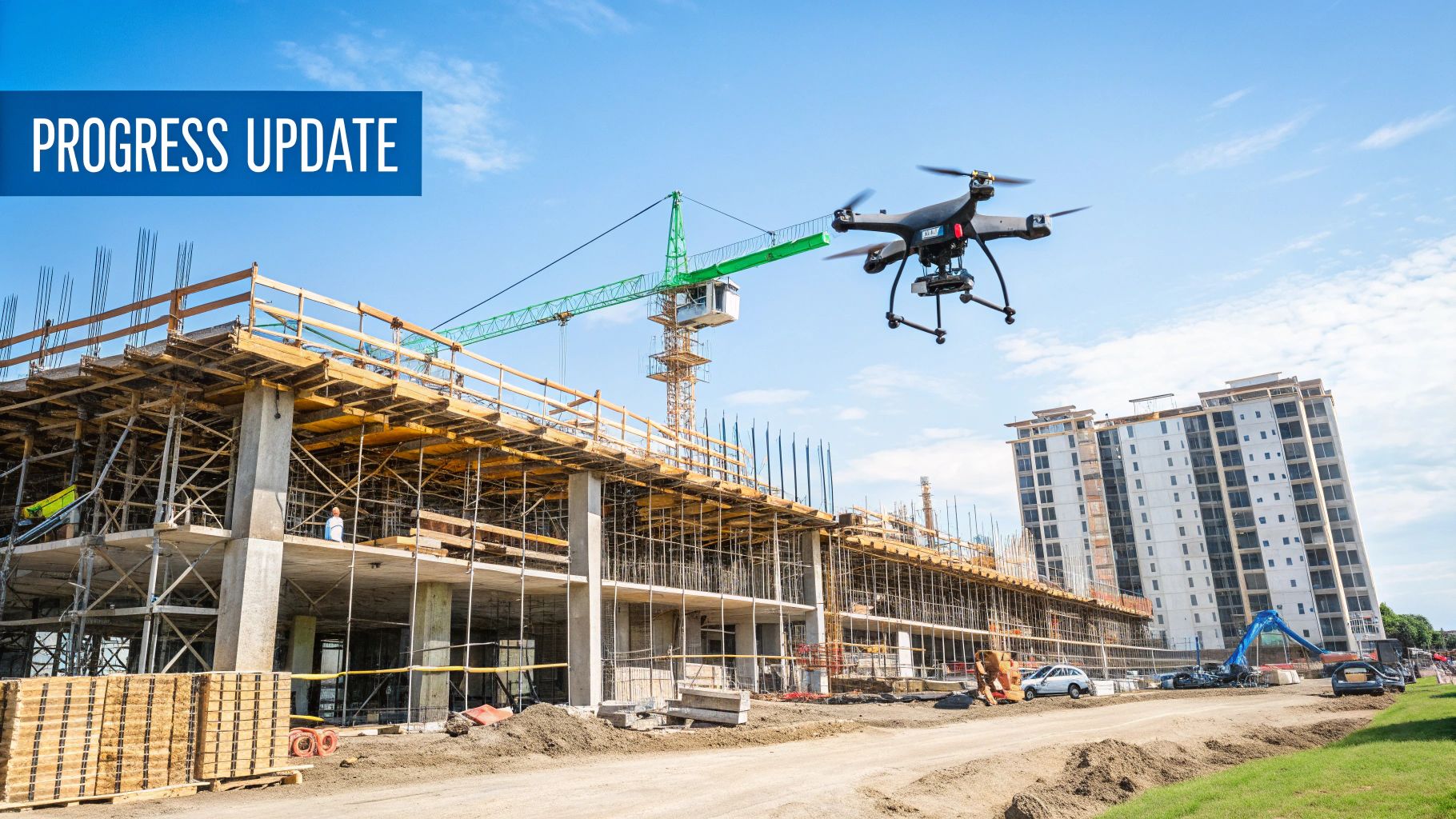
Remember the days of climbing precarious scaffolding just to snap a few site photos? Construction drone photography has dramatically changed how projects are documented and managed. Once a pricey novelty, drones are now essential tools for forward-thinking construction teams.
This shift has impacted everything from initial site surveys and bid preparation to ongoing progress tracking and client communication. It's a change backed by real results, not just anecdotal evidence.
The integration of drones into construction workflows is driven by tangible benefits. Time-consuming tasks like site surveys are now completed much faster, freeing up valuable resources.
The unique aerial perspective provides a comprehensive understanding of the project site, leading to better decision-making throughout the project lifecycle. This bird's-eye view lets project managers spot potential issues early, minimizing costly delays and rework.
Drone Usage Statistics in Construction
The evolution of drone technology in construction has been remarkable. The use of drones in the industry has seen substantial growth. By 2020, over 50% of construction companies in the U.S. reported using drones for project monitoring.
This increased adoption has led to significant advantages, including time savings of up to 20% and improved safety. Drones reduce the need for workers to enter hazardous areas.
Drones equipped with high-quality cameras and sensors provide detailed images and data, enhancing decision-making and project accuracy. The global construction drone market, valued at $1.12 billion in 2020, is projected to reach $2.82 billion by 2026.
This represents a CAGR of 17.1% during the forecast period. It suggests a strong future for drone technology in construction, becoming increasingly vital for project execution and monitoring. Find more detailed statistics here: Drone Statistics in Construction
Key Advantages of Drone Photography in Construction
The widespread adoption of construction drone photography is driven by numerous advantages:
Enhanced Site Surveys: Drones generate highly detailed maps and 3D models. This offers a complete view of the terrain, existing infrastructure, and potential obstacles.
Improved Safety: Reduce workplace accidents by using drones for inspections and monitoring. This minimizes the need for personnel in dangerous locations.
Streamlined Progress Tracking: Regular drone flights visually document project progress. This facilitates communication with stakeholders and identifies schedule deviations.
Precise Measurements and Calculations: Drones equipped with advanced sensors provide precise volumetric data for materials management. This ensures efficient resource allocation.
Better Collaboration: Aerial imagery and data are easily shared with clients, architects, and engineers. This fosters transparency and improves team collaboration.
These benefits translate into real cost savings and better project outcomes. The real strength of construction drone photography lies in its ability to improve decision-making at every project stage, from pre-construction planning to final inspection. This capacity to visualize, analyze, and share crucial project information has made drone photography a cornerstone of modern construction management.
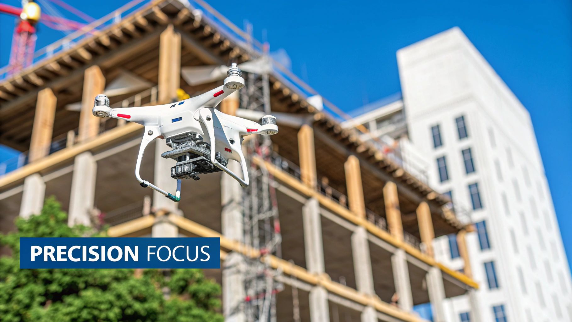
Selecting Your Construction Drone Photography Arsenal
Choosing the right drone for construction photography is critical. Getting the right aerial insights can make all the difference on a project. This section explains what really matters when selecting drones for tough construction sites, moving past the marketing hype. We'll use the real-world experience of site managers and drone operators to understand what features are must-haves and which are simply nice-to-haves.
Key Considerations for Construction Drones
Durability is key on construction sites. Drones are constantly exposed to dust, debris, and unpredictable weather. A tough build is essential for keeping your drone flying for the long haul. Features like reinforced propellers and weather sealing are important considerations.
Image quality is also paramount. High-resolution images and videos are essential for thorough site documentation and analysis. Sensor size, camera resolution, and lens quality are key specs to consider. Features like adjustable aperture and image stabilization help capture professional-grade visuals.
Ease of use is also vital, particularly with tight deadlines. Intuitive controls and user-friendly software simplify workflows and reduce training time. This lets teams quickly deploy the drone and capture needed data. Automated flight modes and pre-programmed flight paths can also streamline operations.
Learn more in our article about different drone models.
Choosing The Right Drone For Your Needs
The perfect drone depends on the specifics of your construction projects. Large infrastructure projects may benefit from a drone with extensive range and a long flight time. For detailed interior documentation of high-rises, a smaller, more agile drone might be better suited.
Small-scale projects: Consider drones like the DJI Mini 3 Pro, focusing on portability and user-friendliness.
Large-scale projects: A drone like the DJI Mavic 3 Pro becomes more advantageous, with its advanced camera system and longer flight time.
Interior documentation: Look for maneuverable drones that excel in tight spaces while still delivering great image quality.
To help you choose the right drone, we've put together a comparison table highlighting the key features and capabilities of various models:
Construction Drone Comparison: Performance When It Matters
A detailed analysis of industry-leading drones based on actual performance metrics from construction environments
Drone Model | Flight Time | Camera Resolution | Weather Resistance | Payload Capacity | Price Range | Best For |
|---|---|---|---|---|---|---|
DJI Mini 3 Pro | 34 minutes | 4K/60fps | Light rain | 249g | $759 - $909 | Small-scale projects, inspections |
DJI Mavic 3 Pro | 43 minutes | 5.1K/50fps | Light rain | 958g | $2,199 - $5,399 | Large-scale projects, mapping |
Autel EVO II Pro V3 | 40 minutes | 6K/30fps | Light rain | 972g | $2,799 - $4,599 | Inspections, aerial photography |
Parrot ANAFI USA | 32 minutes | 4K/60fps | IP53 | 310g | $5,990 | Inspections, security |
This table provides a concise overview of how these popular drones stack up against each other. Remember to consider your specific project needs when making your final decision.
Building A Versatile Drone Program
Leading construction firms are now building versatile drone programs. These programs focus on balancing drone durability, image quality, and ease of operation. This approach maximizes ROI and ensures the drone can handle a wide range of project needs. Investing in a fleet of drones and payloads allows companies to adapt to different construction scenarios. This ultimately enhances their overall efficiency and data collection capabilities.
Drone Photography Across Your Project Lifecycle
Construction drone photography provides a versatile set of tools throughout every project. From the initial site survey to the final inspection, successful construction firms are using aerial imaging in each phase, experiencing significant advantages. Let's explore how these visual data points lead to smarter choices and more efficient work processes at each project stage.
Pre-Construction Phase: Laying the Groundwork
Pre-construction surveys can be complex and expensive. Drone photography offers a more effective approach. Drones quickly capture high-resolution images and create accurate 3D models of the site. This reveals potential problems like challenging terrain or unexpected obstacles early in the process. The data allows for more informed design choices and reduces the chance of costly surprises later.
Construction Phase: Monitoring From Above
Regular progress monitoring becomes essential once construction begins. Weekly drone flights easily document the progress, giving visual updates for team meetings and client communication. This consistent documentation also makes compliance reporting simpler, offering visual proof of adherence to project plans and safety regulations. For instance, drone footage can confirm the correct installation of safety barriers or track the delivery and placement of materials.
Drone photography also improves project management. By comparing aerial images with the project schedule, managers can quickly identify potential delays or deviations. This proactive approach allows for prompt adjustments, keeping the project on time and within budget.
The construction segment of the drone photography services market is expected to see significant growth, with a projected CAGR of 18.1% between 2025 and 2035. This growth highlights the importance of real-time visuals for monitoring, compliance, and safety on construction sites. Contractors are now using drones for everything from initial surveys to final documentation. The ability to produce precise 3D models and elevation maps simplifies decision-making throughout the entire project.
Post-Construction Phase: Ensuring Quality
Drone photography continues to be valuable even after construction is finished. Thermal imaging detects energy inefficiencies in new buildings, allowing for fixes before they become major expenses. Drones also capture accurate volumetric measurements for as-built surveys, simplifying final inspections and ensuring everything meets specifications. This thorough visual record also serves as valuable documentation for future maintenance and renovations.
A Versatile Tool for Every Stage
Drone photography isn't just about appealing visuals; it’s a practical tool for optimizing efficiency, improving safety, and enhancing communication throughout a construction project. By integrating drone technology into their procedures, construction companies make informed decisions, reduce costs, and deliver high-quality results. This approach represents the future of construction management, where visual data plays a key role in project success.
Calculating Real ROI From Your Drone Program
Construction drone photography offers more than just striking visuals; it delivers a tangible return on investment. This section explores the financial advantages of using drones in construction, highlighting key areas where cost savings are realized. We'll examine how leading construction firms measure the value of fewer site visits, early identification of problems, and improved communication with stakeholders. This section also provides practical methods for tracking your drone program's ROI, regardless of project size or complexity.
Quantifying the Benefits of Construction Drone Photography
Drones are quickly transitioning from marketing tools to essential operational assets. Companies are now recognizing their direct impact on profitability. This shift is driven by the ability to measure the real ROI of construction drone photography. Fewer site visits mean lower travel costs and reduced labor expenses. Catching problems early minimizes expensive rework and keeps projects on schedule. Improved stakeholder communication leads to more efficient decision-making and smoother project execution.
Practical Frameworks for Tracking ROI
Tracking the ROI of your drone program requires a structured approach. Leading firms use frameworks tailored to project complexity and scale. For smaller projects, you can calculate ROI by comparing the cost of drone surveys against traditional surveying methods. For larger projects, factor in cost savings from averted delays and improved resource allocation. An ROI Calculator can help estimate potential savings.
Measuring Success Across Different Project Types
ROI metrics vary across project types. For residential construction, drones expedite roof inspections, improving safety and reducing inspection time. For infrastructure projects, drones can monitor large areas, identifying potential problems and minimizing the need for extensive ground surveys. In both scenarios, construction drone photography contributes to significant time and cost savings.
To help illustrate the potential ROI across various projects, we've compiled a table outlining the cost-benefit analysis.
Drone Photography ROI by Project Type
Detailed breakdown of cost-benefit analysis across diverse construction scenarios
Project Type/Size | Implementation Cost | Time Savings | Error Reduction | Safety Improvement | Client Satisfaction | Total ROI |
|---|---|---|---|---|---|---|
Small Residential | $500 - $1,500 | 1-2 days | 5-10% | Moderate | High | 10-20% |
Large Residential | $1,500 - $3,000 | 2-5 days | 10-15% | High | High | 15-30% |
Small Commercial | $3,000 - $5,000 | 5-10 days | 15-20% | High | High | 20-40% |
Large Commercial | $5,000+ | 10+ days | 20-30% | High | High | 30-50% |
Infrastructure | $10,000+ | 20+ days | 25-40% | High | High | 40-70% |
As the table demonstrates, ROI can fluctuate significantly based on the specific project. However, the overall trend indicates that construction drone photography is more than just a visual tool; it's a powerful asset that strengthens a company's bottom line. Learn more about drone photography applications and how they are changing project management in the construction industry.
Navigating Drone Regulations in Construction Environments
The use of drone photography in construction offers incredible advantages. However, navigating the regulations surrounding drone operations can feel overwhelming. This section provides a practical guide to these regulatory requirements, focusing on aspects most relevant to construction projects. We'll also explore how leading construction firms are creating drone policies that meet both legal obligations and project-specific needs.
Understanding Airspace Authorizations and Pilot Certification
Before launching any drone for construction photography, understanding airspace authorizations is paramount. You must obtain permission to fly in the designated airspace, especially near airports or restricted areas. This usually involves submitting a request to the relevant aviation authority, like the Federal Aviation Administration (FAA) in the United States, and may require detailed flight plans and pilot certifications.
Pilot certification is another vital aspect. The drone pilot must hold the necessary certifications and demonstrate proficiency in safe drone operations. This often includes passing a knowledge exam and a practical flight test. Ensuring your drone pilots are certified protects your company from legal issues and reinforces a commitment to safety.
Developing Site-Specific Safety Protocols
Safety is crucial in construction, and drone operations are no exception. Developing comprehensive site-specific safety protocols is essential for minimizing risks. These protocols should address pre-flight checklists, emergency procedures, and communication protocols between the drone pilot and the ground crew. For further information, explore drone photography applications and their impact on safety.
Pre-flight checks: Inspect the drone, batteries, and payload before each flight.
Emergency procedures: Establish clear procedures for handling equipment malfunctions or sudden weather changes.
Communication: Maintain constant communication between the drone pilot and the ground crew.
Building Constructive Relationships with Regulatory Authorities
Working with regulatory bodies is key for navigating the drone landscape. By fostering open communication and demonstrating a commitment to responsible drone use, companies can build strong relationships with authorities. This simplifies the authorization process and creates a smoother operational workflow.
Streamlining Compliance for Construction Workflow
Regulatory compliance is vital, but it shouldn't impede your project. Successful construction companies are streamlining the compliance process, integrating it into their existing workflows. This includes developing internal drone policies, providing regular pilot training, and establishing efficient procedures for airspace authorizations. Explore potential cost savings using drones with an ROI Calculator.
By focusing on proactive planning, thorough training, and a commitment to safety, construction companies can navigate drone regulations. This ensures that drone operations enhance, not hinder, the overall workflow.
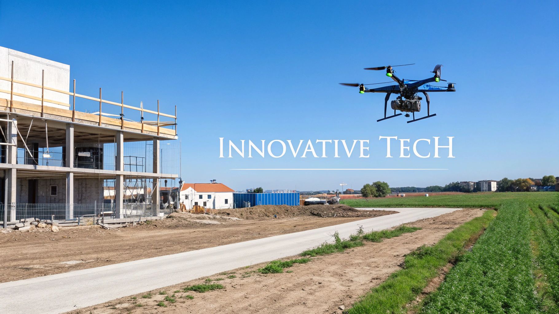
The Future of Construction Drone Photography
Construction drone photography is rapidly changing. It's moving beyond basic documentation to become a crucial tool for project management and predictive analysis. This shift is happening because of improvements in drone technology, software, and how we analyze data. These changes promise to reshape how we collect, examine, and use aerial data from construction sites.
AI-Powered Defect Detection
Think about a drone that not only takes pictures but also analyzes them for problems in real-time. This is becoming a reality with AI-powered defect detection. Machine learning algorithms are trained to find cracks, corrosion, and other structural issues in drone footage. This lets teams step in early, stopping small problems before they become big, expensive repairs. Plus, this technology cuts down on manual inspections, making things safer and more efficient.
Automated Progress Tracking
In construction, keeping projects on time and budget is always tough. Automated progress tracking, powered by drone photography, offers a helpful solution. Drones with advanced sensors and software can automatically fly pre-planned routes, collecting images and data at set times. This data is then processed to create progress reports, track important steps, and spot potential delays. For example, by comparing drone-made 3D models with the project's BIM data, project managers can quickly see if construction is on track.
Seamless BIM Integration
Building Information Modeling (BIM) is becoming the standard for construction project management. The future of construction drone photography depends on smoothly integrating with BIM platforms. This lets drone data be added directly into the BIM model, creating a digital twin of the construction site. This digital twin gives a live, up-to-the-minute view of the project, helping teams work together better, make smarter decisions, and use resources more efficiently. You can explore our blog categories for more about BIM and other drone technologies.
The Rise of Real-Time Analytics and 5G
The drone photography services market is growing rapidly. It's expected to go from $0.78 billion in 2024 to $1.2 billion by 2023, with a CAGR of about 25% between 2024 and 2032. This shows a growing need for aerial data across many industries, including construction. You can find more about this growth here. This growth is also being driven by real-time analytics and 5G. 5G's speed lets drones send data almost instantly, helping construction teams make informed decisions based on the latest information. This real-time feedback has a big impact on safety, efficiency, and the overall success of a project.
From Visual Data to Actionable Insights
These advancements mean we're going from just collecting visual data to getting useful insights. Drone footage isn't just a record of the past anymore; it's a tool for predicting the future. By looking at trends and patterns in drone data, AI-powered systems can foresee potential issues, optimize resource use, and improve project outcomes. This ability to predict problems is changing construction management, helping teams build smarter, safer, and more efficiently.
Building Your Construction Drone Program From Scratch
Ready to integrate drone photography into your construction projects? This guide provides practical steps to establish a successful drone program, helping you avoid common pitfalls. We'll explore key decisions, including choosing between developing in-house expertise or partnering with external drone service providers. We'll also cover how to structure your team effectively and design workflows that integrate seamlessly with your current processes.
In-House vs. Outsourcing: Finding the Right Fit
A crucial first step is deciding whether to build an in-house drone program or outsource to drone service providers like DroneBase. Developing an in-house team offers greater control over data acquisition and scheduling, but requires investment in equipment, training, and personnel. Outsourcing can be more cost-effective initially, providing access to specialized expertise and equipment without the upfront costs. However, it might mean less flexibility in scheduling and data management.
The best choice depends on factors like project frequency, budget, and the level of control required. Frequent drone photography needs might make an internal team more efficient long-term. For occasional projects, partnering with a service provider could be more practical.
Building a Drone Team: Roles and Responsibilities
If you choose to build an internal team, carefully define roles and responsibilities. You'll need skilled drone pilots certified by the Federal Aviation Administration (FAA) to operate legally. Data processing specialists are essential for extracting meaningful insights from the drone footage. A project manager to oversee drone operations and data integration into project workflows is also key.
Drone Pilot: Responsible for safe drone operation and data acquisition.
Data Specialist: Processes and analyzes drone data, creating reports and visualizations.
Project Manager: Oversees drone operations and integrates data into project management using tools like Procore.
Creating Efficient Drone Workflows
Integrating drone photography requires careful planning. Develop clear standard operating procedures (SOPs) for drone operations, data processing, and reporting. These SOPs should cover flight planning, safety protocols, data management, and integration with project management software. This standardized approach ensures consistency, improves data quality, and maximizes the value of your drone program.
Overcoming Implementation Challenges
Implementing a new drone program often faces resistance. Address concerns proactively by demonstrating the benefits of drone photography and providing comprehensive training. Data management can also be a challenge. Establish a centralized system for data storage and management to ensure data security and easy access.
Training, Equipment, and Scalability
Practical training is vital for both pilots and data specialists. Choose equipment that aligns with your project requirements, considering durability, image quality, and ease of use. Design your program with scalability in mind, allowing for easy expansion as your needs evolve.
A Roadmap to Success: Timelines and Milestones
A well-defined implementation plan with clear timelines and milestones ensures a smooth rollout. Track progress against these milestones to identify any roadblocks and adapt as needed. This roadmap ensures your drone program delivers measurable results. For a deeper dive into drone operations, visit JAB Drone.
Comments